Snøheim
Wejście na Snøhettę było punktem programu mojej wyprawy w góry Dovrefjell. Ten najbardziej rozpoznawalny szczyt to niemal obowiązek każdej wycieczki w okolicy. Zdobycie Snøhetty w Dovrefjell to jak wejście na Rysy w Tatrach. Liczący 2286 m n.p.m. w folderach reklamowych często opisywany jest jako najwyższy szczyt Norwegii ale zaraz potem dodaje się, że oczywiście poza górami Jotunheimen, gdzie szczyty są dużo wyższe. Widać Norwedzy lubią mieć wszystko naj.
Pogoda na weekend nie zapowiadała się najciekawiej, ale nie zniechęciło mnie to do ponad pięciogodzinnej jazdy. Pierwszym etapem marszu był punkt widokowy nazwany Viewpoint Snøhetta, o którym pisałem w poprzednim wpisie. Po obejrzeniu sobie tej atrakcji wróciłem do bazy wojskowej, przy której zaczynała się droga do schroniska Snøheim i dalej na szczyt Snøhetta. Droga jest zamknięta dla pojazdów osobowych ale chętni mogą załapać się na kursujące do schroniska parę razy w ciągu dnia autobusy. Cena takiej przejażdżki to 70 koron. Uznałem z dumą, że na łatwiznę iść nie będę, i ten kilkukilometrowy odcinek spokojnie odbędę piechotą.
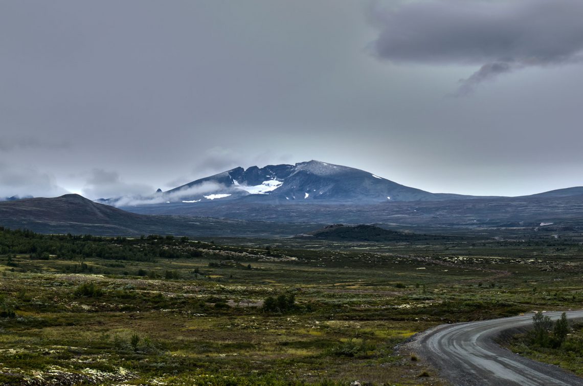
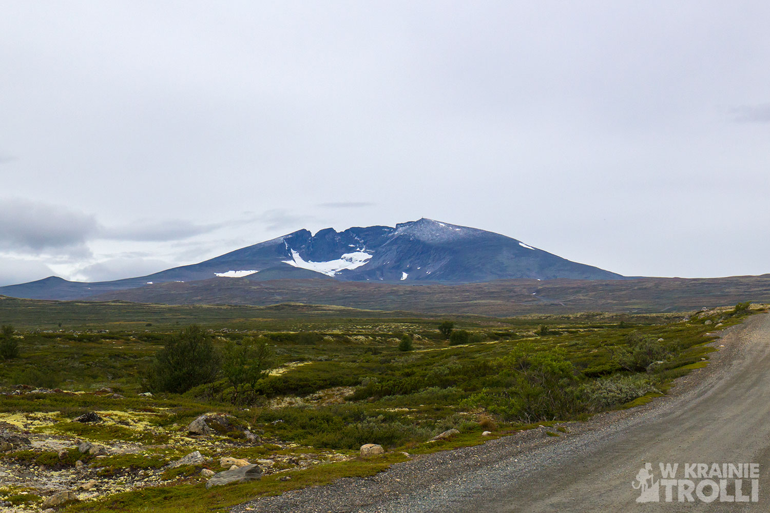
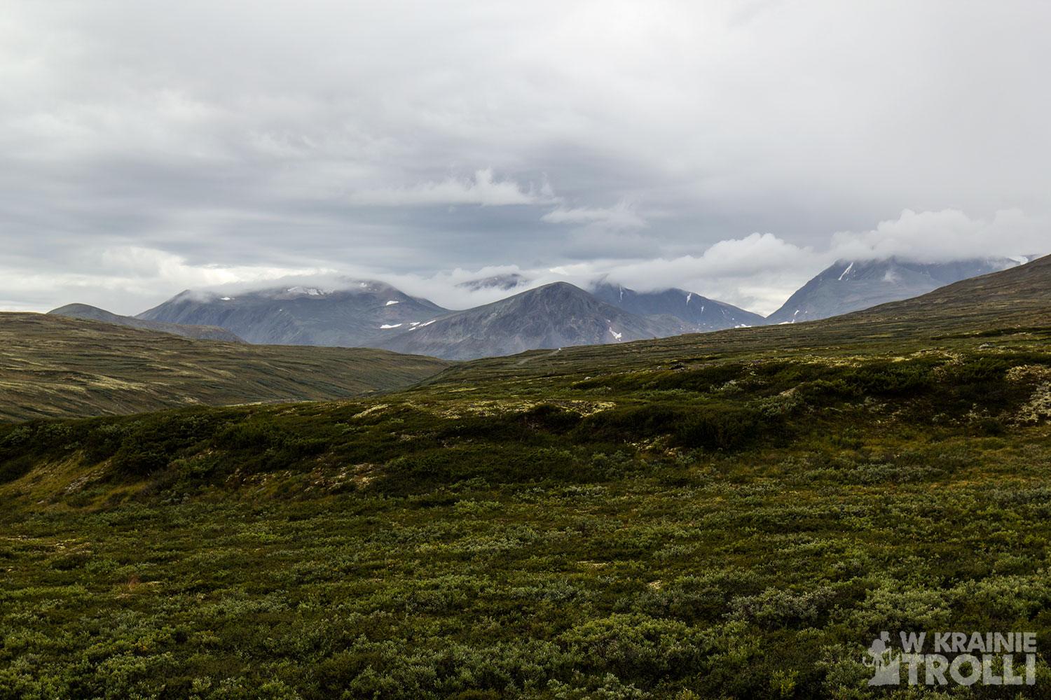
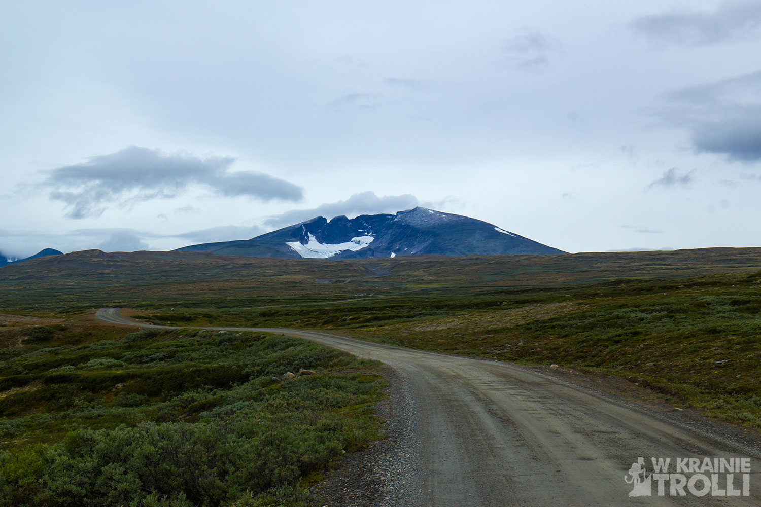
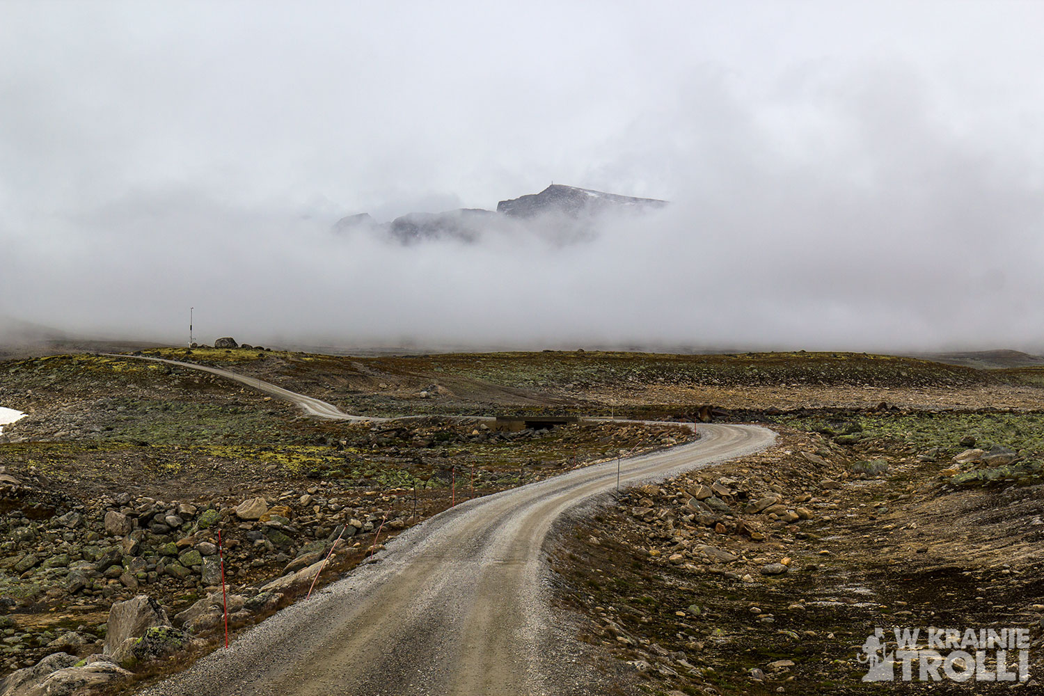
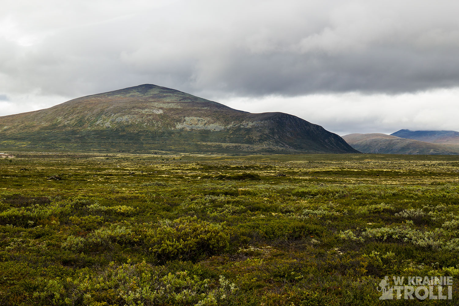
Po minięciu ostatnich zabudowań bazy wojskowej, gdy wyszedłem na otwartą przestrzeń i ujrzałem w pełni rozpościerający się przede mną widok, nie mogłem wyjść z zachwytu. Widziany z perspektywy kilkunastu kilometrów szczyt, z wciąż niestopionymi letnim słońcem czapami śniegu prezentował się wręcz nieziemsko. Pomimo faktu przesłaniających górę co chwila chmur, a może właśnie przez nie, obraz tego majestatycznego wzniesienia robił tak niesamowite wrażenie. Góra posiada charakterystyczny kształt, kojarzący się z kraterem wulkanu. Mi osobiście przyszło na myśl, że może kiedyś w Snøhettę uderzył potężny meteor, tworząc w zboczu ogromną dziurę. A może wyjaśnienie specyficznego kształtu tego szczytu leży w sposobie przemieszczania się lodowca przed tysiącami lat.
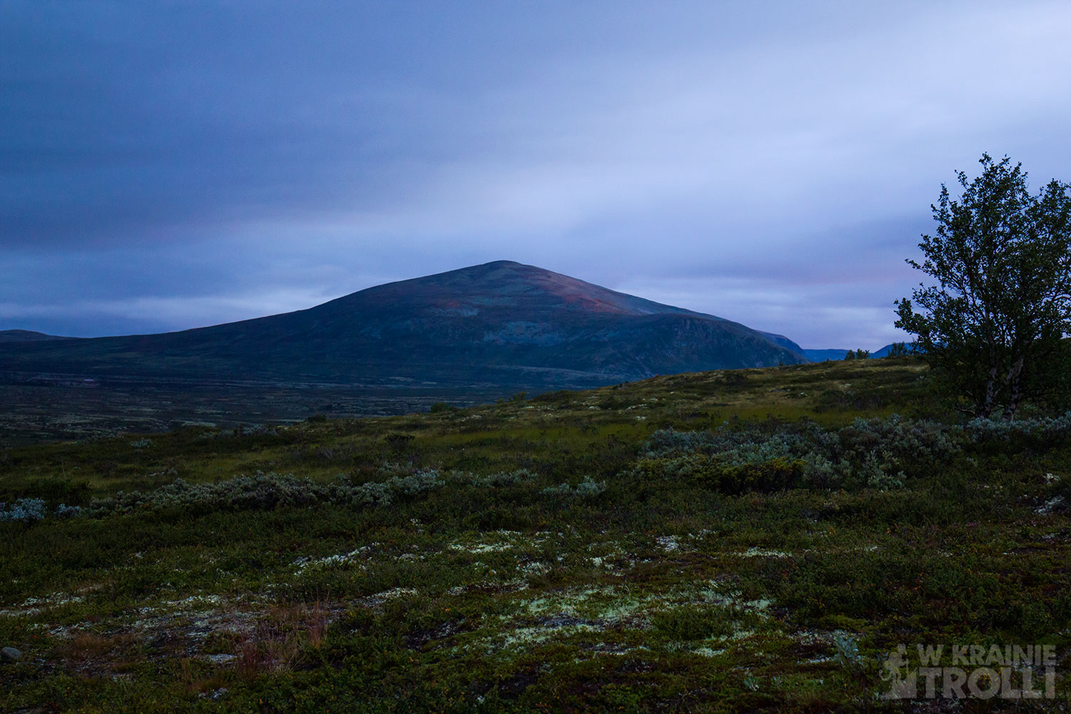
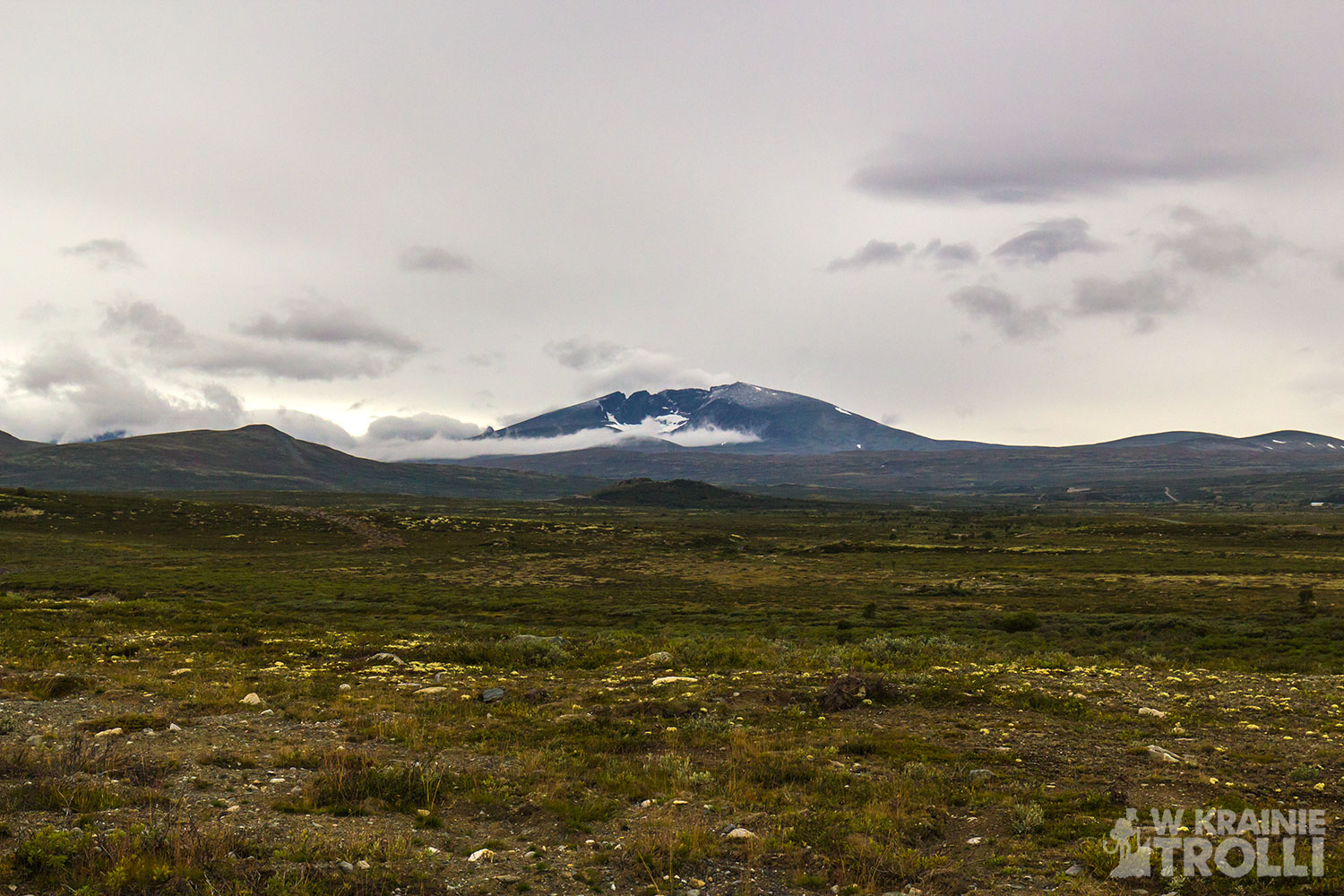
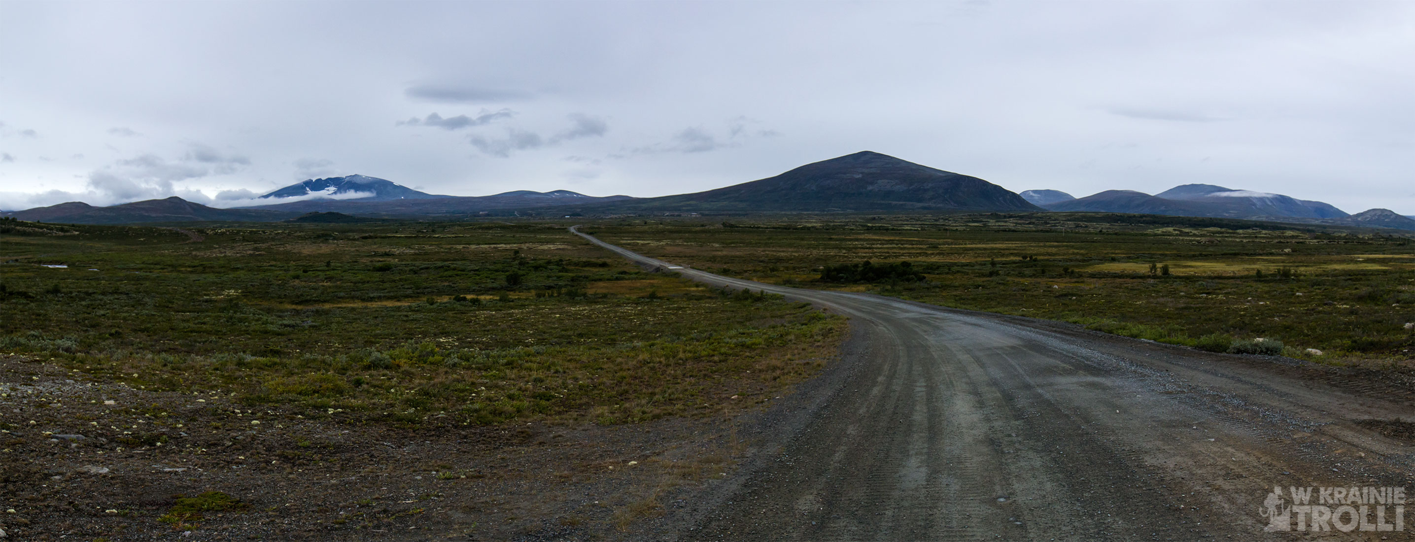
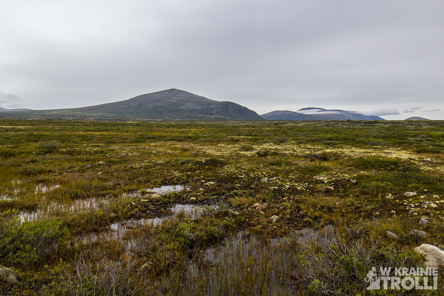

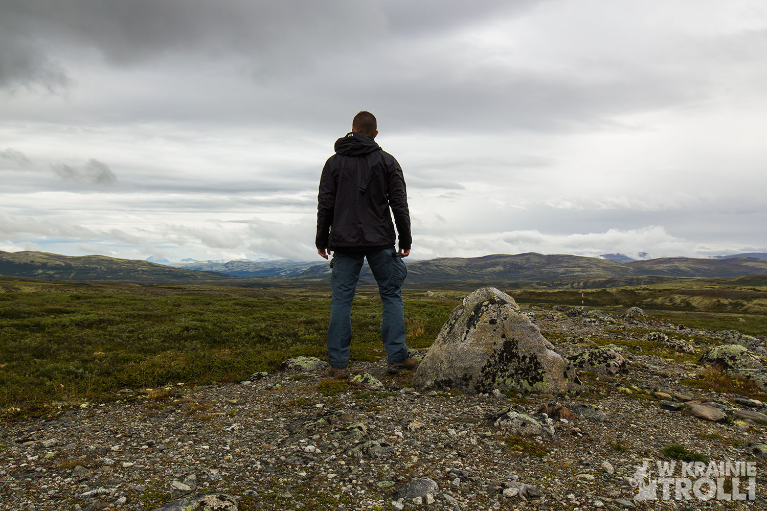
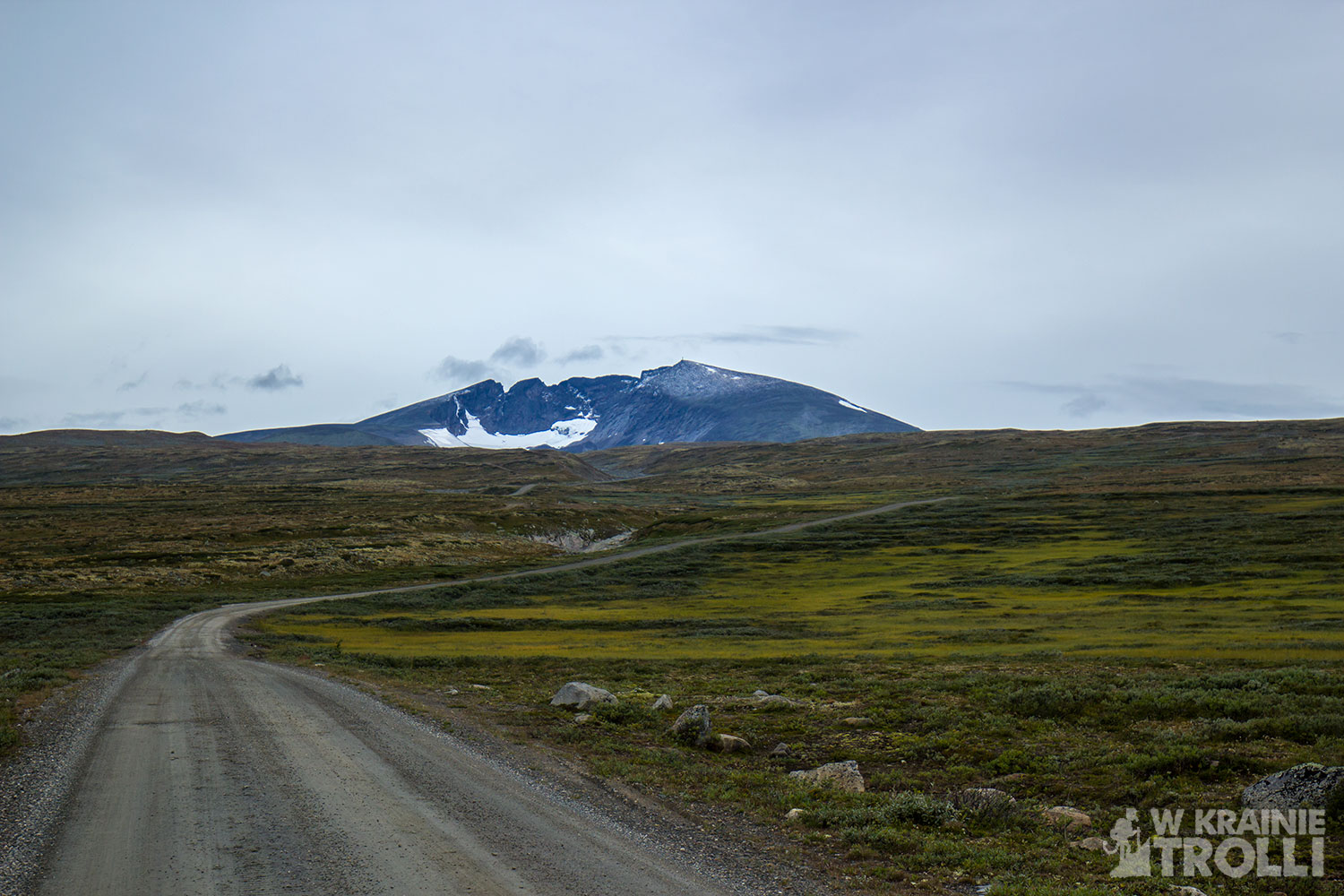
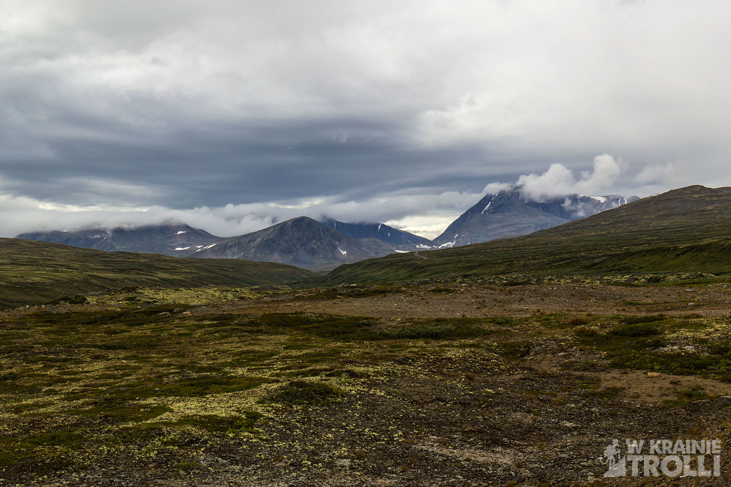
Droga prowadząca do Snøheim ciągnie się kilometrami po płaszczyźnie i jedynym szczytem, który można sobie obejrzeć z bliska jest mijany Kolla (1651 m n.p.m.). Inne górki, w tym Snøhetta zdają się odległe i wręcz nieosiągalne. Przy odrobinie szczęścia, z trasy można dojrzeć pasące się w oddali piżmowoły. W ciągu tego dnia kilkakrotnie udało mi się je dostrzec. Były one jednak zbyt daleko, by zrobić im jakieś udane zdjęcie. Żałowałem, że nie zabrałem ze sobą dodatkowego obiektywu o dłuższej ogniskowej.
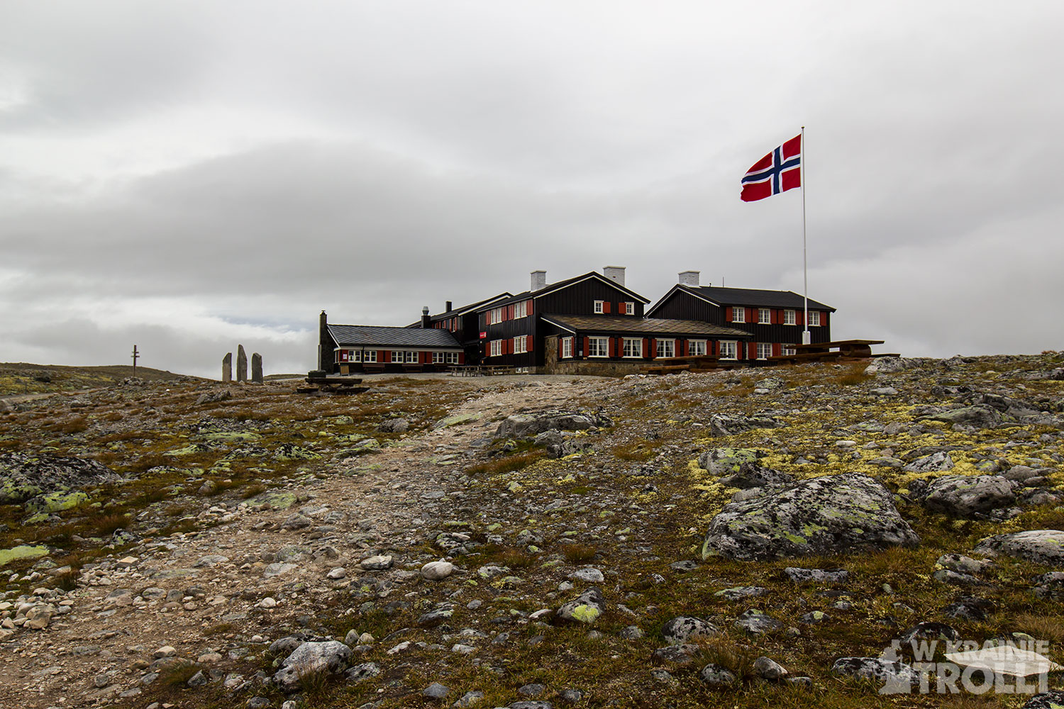
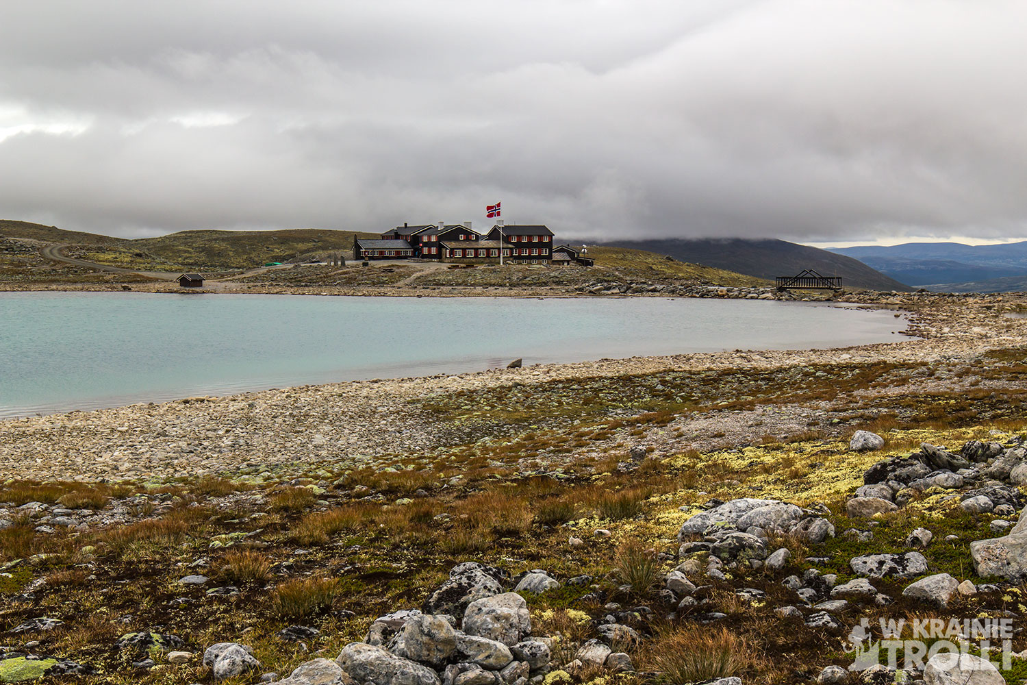
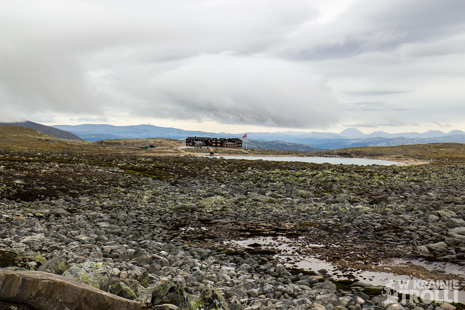
Wreszcie, po kilku godzinach marszu dotarłem do schroniska Snøheim. Stopy nieźle mi już dokuczały a upragniony cel mojej wędrówki od jakiegoś czasu permanentnie skryty był za grubą warstwą chmur. Miałem już w nogach ponad 20 kilometrów. Poważnie zastanawiałem się nad kontynuowaniem marszu. Zrobiłem sobie przerwę na krótki odpoczynek i posiłek. Zaczepiłem jednego Norwega wracającego ze szlaku, pytając czy jest sens iść dalej, ale ten odparł, że był tylko w połowie drogi na szczyt. Biłem się w myślach czy iść dalej czy wracać, aż zauważyłem grupkę osób wyruszających ze schroniska i kierujących się na szlak. Ruszyłem za nimi, ale okazało się, że idą oni w inną stronę. Przez jakiś czas kontynuowałem marsz. Do chwili, aż spadły pierwsze krople deszczu. Uznałem, że raczej już się nie przejaśni i nie ma sensu pchać się na górę.
Zawróciłem w samą porę. Chwilę później rozpadało się na dobre. Wróciłem do schroniska a niedługo później byłem już w drodze powrotnej. Deszcz pojawiał się jeszcze w krótkich momentach, ale oglądając się za siebie, szczyt Snøhetta wciąż pozostawał zasłonięty chmurami. Z każdym przebytym kilometrem szło się coraz ciężej. Nie tylko dokuczały mi stopy, na których zaczęły robić się odciski i przetarcia, ale również coraz dotkliwiej czułem ciężar wypakowanego plecaka. Dźwiganie całego biwakowego ekwipunku przez kilkadziesiąt kilometrów nie należy do najłatwiejszych czynności. Z zazdrością obserwowałem twarze turystów zerkających na mnie zza szyby wracającego ze schroniska autobusu.
Po dziewięciu i pół godzinach marszu i przejściu ponad 40 kilometrów, zmęczony i obolały, dotarłem na parking, gdzie zostawiłem swoje auto. I choć wcześniej planowałem nocleg oraz jakieś łatwiejsze szlaki w okolicy na kolejny dzień, to widząc w jakim stanie są moje stopy, zdecydowałem się na wcześniejszy powrót do domu.
Nie udało mi się wejść na szczyt. Nie tym razem. Ale mam nadzieję, że uda mi się jeszcze do Dovrefjell wrócić. Ze świeżymi siłami i może przy lepszej pogodzie. I może warto jednak wydać te 70 koron, na podwiezienie autobusem, bo droga z Hjerkinn do schroniska Snøheim jest jednak dość długa.
Climbing Snøhetta was a highlight of my trip to the Dovrefjell Mountains. This most recognizable peak is a must to climb on every trip in this area. Reaching Snøhetta in Dovrefjell is like climbing Rysy in the Tatra Mountains. It has 2286 m above sea level and in advertising brochures, it is often described as Norway’s highest peak, but then they added that of course outside the Jotunheimen mountains, where the peaks are much higher. As you can see Norwegians like to have everything the best.
The weather for the weekend wasn’t seemed to be the most interesting, but it didn’t discourage me from driving for over five hours to Dovrefjell. The first stage of the march was the viewpoint called Viewpoint Snøhetta, about which I wrote in the previous post. After seeing this attraction, I returned to the military base, where the road to the Snøheim lodge began and then the Snøhetta peak hiking trail starts. The road is closed to passenger cars, but there are buses go to the lodge several times a day. The price for such a ride is 70 crowns. I proudly decided that I would not go the easy way, and I would easily walk this few-kilometer stretch on foot.
After passing the last buildings of the military base, when I went out into the open range and saw the view fully spread out in front of me, I could not grab my jaw from the ground. Seen from a perspective of a few kilometers, the peak, with its still unmelted during summer snow caps looked just awesome. Despite the fact that the clouds are obscuring the mountain, or maybe because of them, the image of this majestic hill made such an amazing impression. The mountain has a characteristic shape, associated with the volcano crater. It occurred to me personally that maybe one day a powerful meteor struck Snøhetta, creating a huge hole in the mountain. Or maybe the explanation of the specific shape of this peak lies in the way how the glacier travels thousands of years ago.
The road leading to Snøheim stretches for kilometers on the range and the only peak that you can see up close is Kolla (1651 m above sea level). Other hills, including Snøhetta, seem distant and almost unreachable. With a bit of luck, you can see musk oxes grazing in the distance from the route. During that day I was able to see them several times. However, they were too far away to take a good photo.

Finally, after a few hours of walking, I arrived at Snøheim. My feet hurt and the main target of my journey has been permanently hidden behind a thick layer of clouds. I already had 20 kilometers in my legs. I was seriously thinking about continuing my march. I took a short break for a rest and a meal. I hooked one Norwegian returning from the trail, asking if it makes sense to go ahead, but he replied that he was only halfway to the top. I was struggling in my thoughts whether to go on or come back until I noticed a group of people starting from the lodge and heading for the trail. I followed them, but it turned out that they were going in a different direction. I continued walking for some time. Until the first drops of rain fell. I decided that the best decision is to go back.
I turned back in time. A moment later it was raining for good. I returned to Snøheim and soon after I was on my way back. The rain was still appearing in the short moments, but by glancing back, the summit of Snøhetta was still obscured by clouds. With each kilometer I traveled harder. Not only my feet I felt, but I felt the weight of the full packed backpack. Carrying all camping equipment for several dozen kilometers is not the easiest task. I watched jealously the faces of tourists peering at me from behind the glass of a bus returning from the lodge.

After nine and a half hours of walking and making over 40 kilometers, tired and sore, I arrived at the parking lot, where I left my car. And although I had previously planned spend a night in the mountains and make some easy hikking in the area for the next day, seeing the condition of my feet, I decided to return home earlier.
I couldn’t get to the top. Not this time. But I hope to get back to Dovrefjell. With fresh strength and maybe in better weather. And maybe it is worth spending these 70 krons on a bus ride, because the road from Hjerkinn to the Snøheim lodge is quite long.


Zobacz również
Deszczowa wyprawa na Grånuten i Fuglen

Heimsdalshøe 1843m n.p.m.