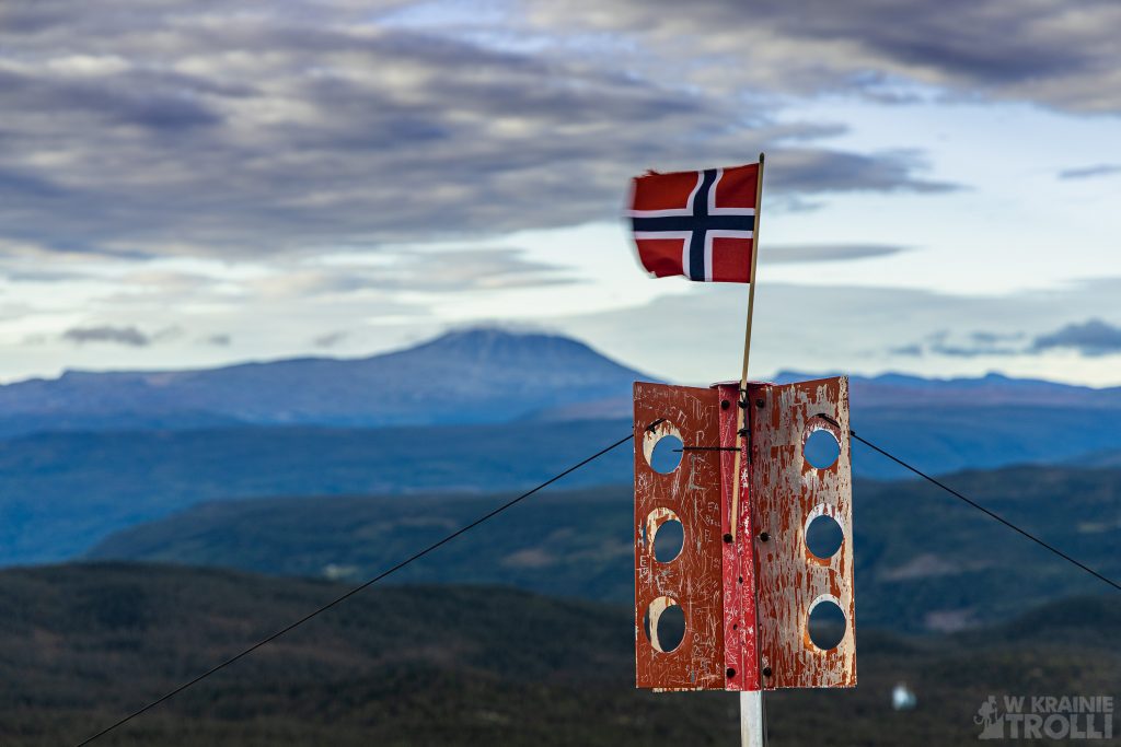
Numedalshovda & Skirveggnuten
Zeszłotygodniowy wypad w góry Rondane tak bardzo dał mi w kość, że z początku nie planowałem nigdzie jechać w kolejny weekend. W końcu jednak widmo spędzenia całego weekendu na tyłku w domu ruszyło moje sumienie i zacząłem przeglądać mapę w poszukiwaniu jakiejś nowej trasy. Miało być lekko, krótko i niezbyt daleko od domu. Szukałem, szukałem aż w końcu znalazłem.
Skirveggnuten liczy co prawda 1381m n.p.m., szlak liczy jakieś 7km w jedną stronę, ale różnica wysokości pomiędzy początkiem trasy a szczytem liczy zaledwie nieco ponad 200 metrów. Można więc powiedzieć, że idzie się po płaskim. Po drodze mogłem wejść na jeszcze jedną, niższą górkę, Numedalshovda (1164m n.p.m.).
Żeby dostać się na miejsce, musiałem udać się w północne rejony jeziora Tinnsjå. Parę miesięcy wcześniej w niemal tym samym miejscu wchodziłem na Haugefjell i Gjuvhold. Skirveggnuten jest oddalony od Haugefjell o zaledwie 10,5 km w linii prostej. Zachęcony prognozami wyszykowałem się na tę wycieczkę zdecydowanie zbyt lekko. Miałem na sobie krótkie spodnie, lekkie buty (Fivefingersy) i bluzę. Miało być w końcu aż 14 stopni. Gdy jednak dojechałem na miejsce i zaparkowałem przy gospodarstwie Håvardsrud Seterliv, zaskoczyło mnie przeraźliwe zimno. Mogłem wziąć jeszcze na drogę kurtkę, ale zostawiłem ją w samochodzie, sadząc, że z czasem się ociepli i tylko będzie niepotrzebnym ciężarem. Wziąłem za to czapkę i rękawiczki i ruszyłem w drogę.
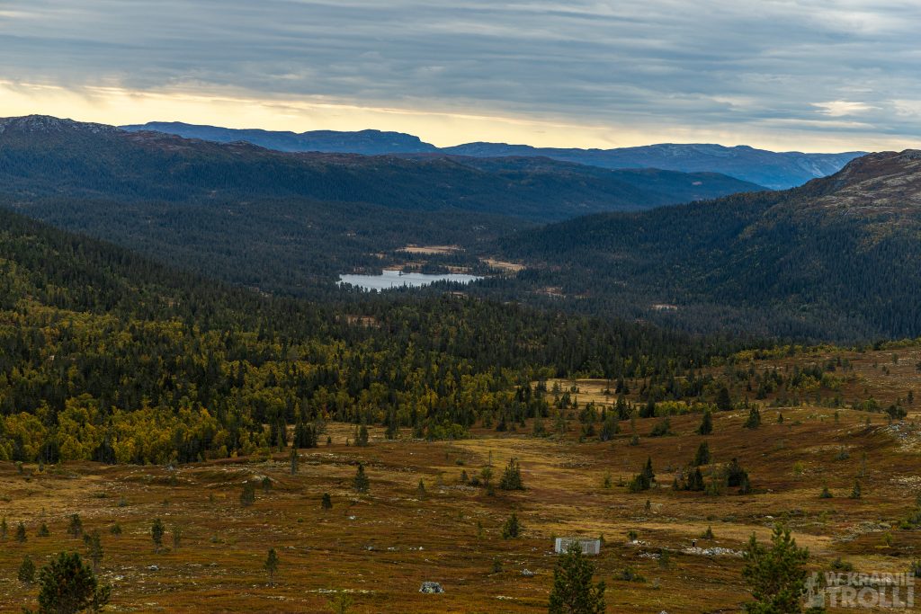
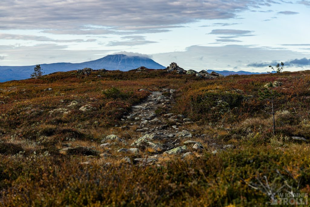
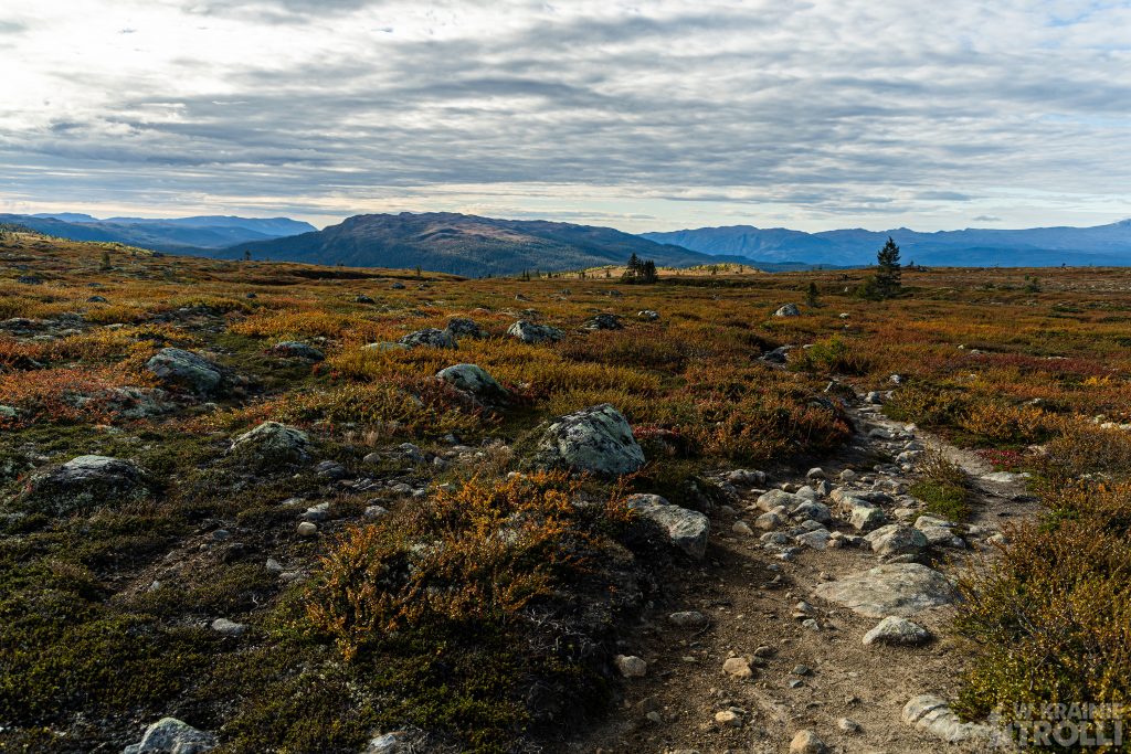
Szlak zaczyna się na osiedlu domków wypoczynkowych, na niewielkim parkingu przy wspomnianej farmie Håvardsrud Seterliv. Może to być świetny punkt wycieczki gdy ktoś podróżuje z dziećmi. Gospodarstwo jest otwarte na podróżnych, a właściciele chętnie pokazują najmłodszym różnorakie zwierzęta. Odnalazłem ścieżkę, która wyprowadziła mnie poza granicę zabudowań. Leśny odcinek trasy okazał się dość krótki i wkrótce wyszedłem na otwartą przestrzeń. Od razu udało mi się zidentyfikować najbliższą górę jako Numedalshovdę a dobrze oznaczony szlak i wydeptana ścieżka wiodły mnie właśnie w tym kierunku. Jednak otwarta przestrzeń to również pole do popisu dla wiatru, a ten tego dnia poczynał sobie w najlepsze. Nie był może jakoś szczególnie silny, ale za to obniżał odczuwalną temperaturę o co najmniej kilka stopni. Szybko pożałowałem, że nie zabrałem z auta kurtki.
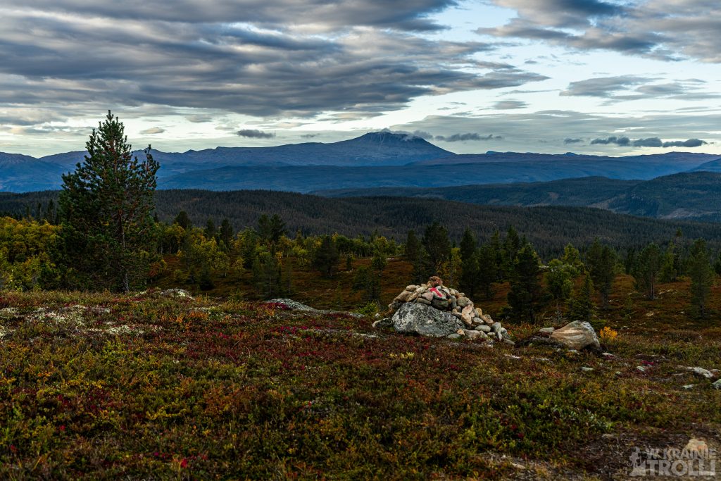
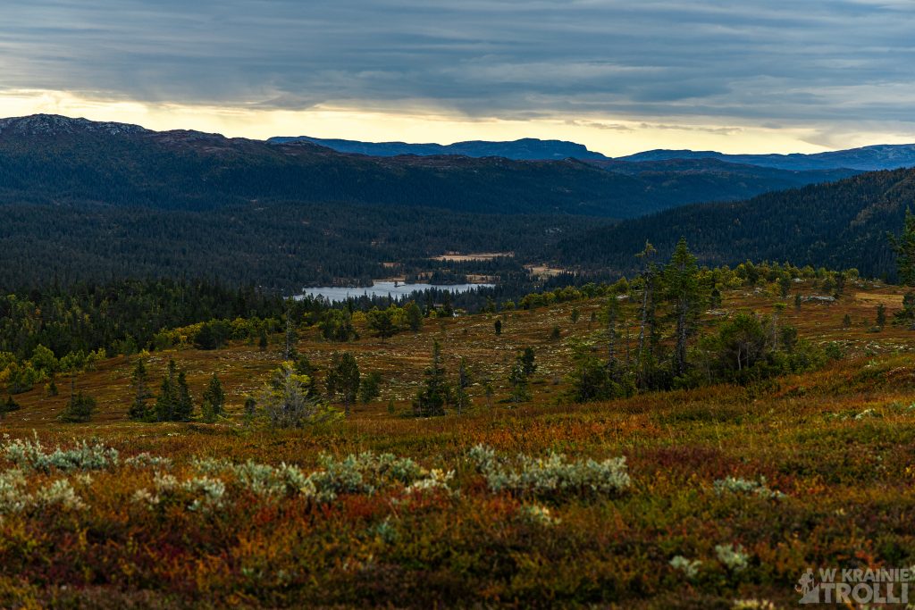
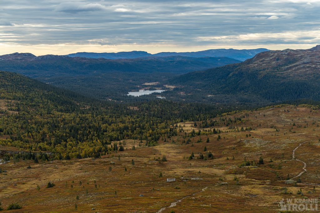
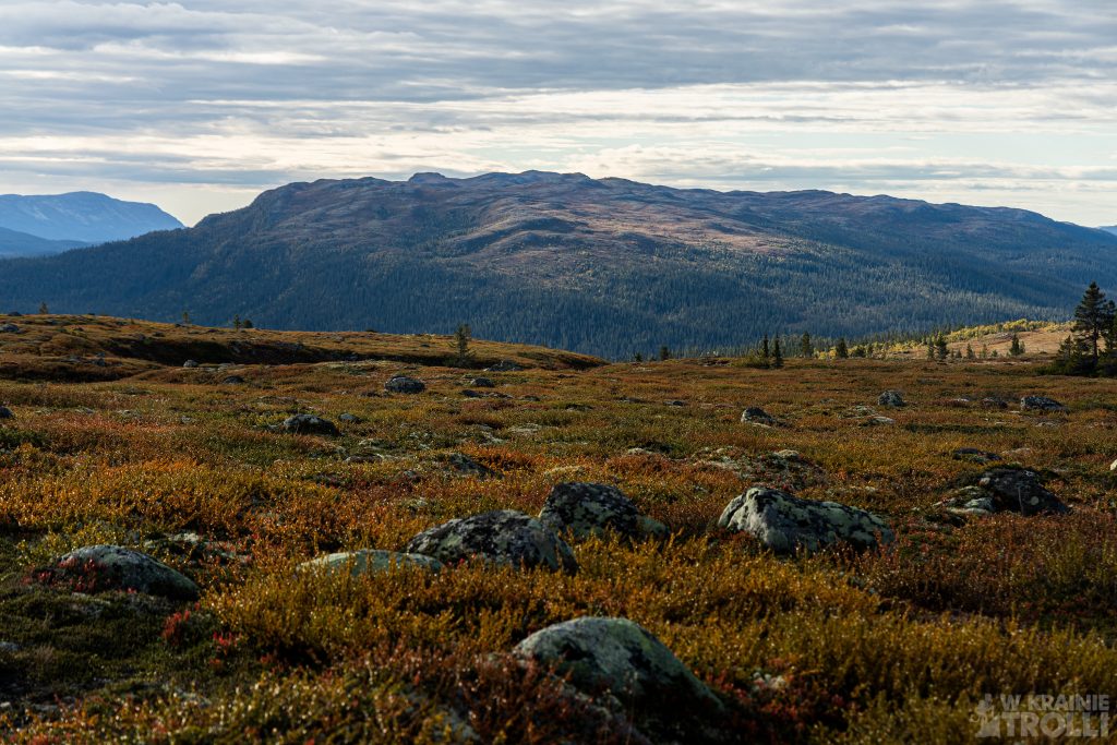
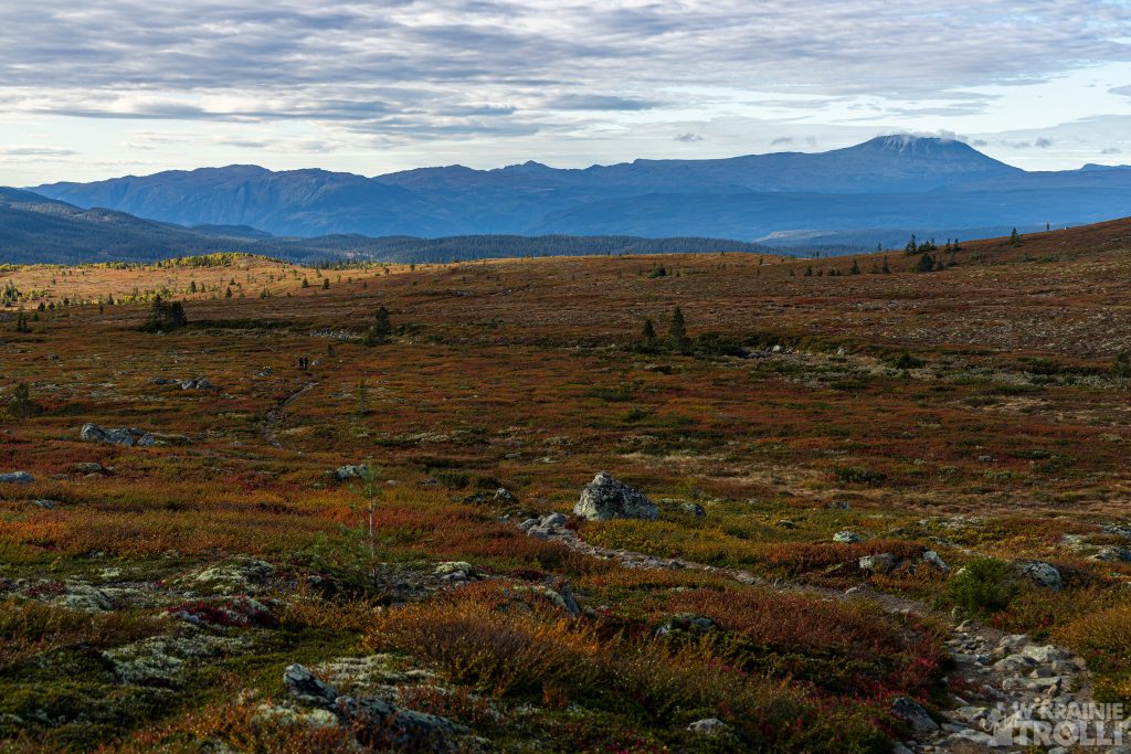
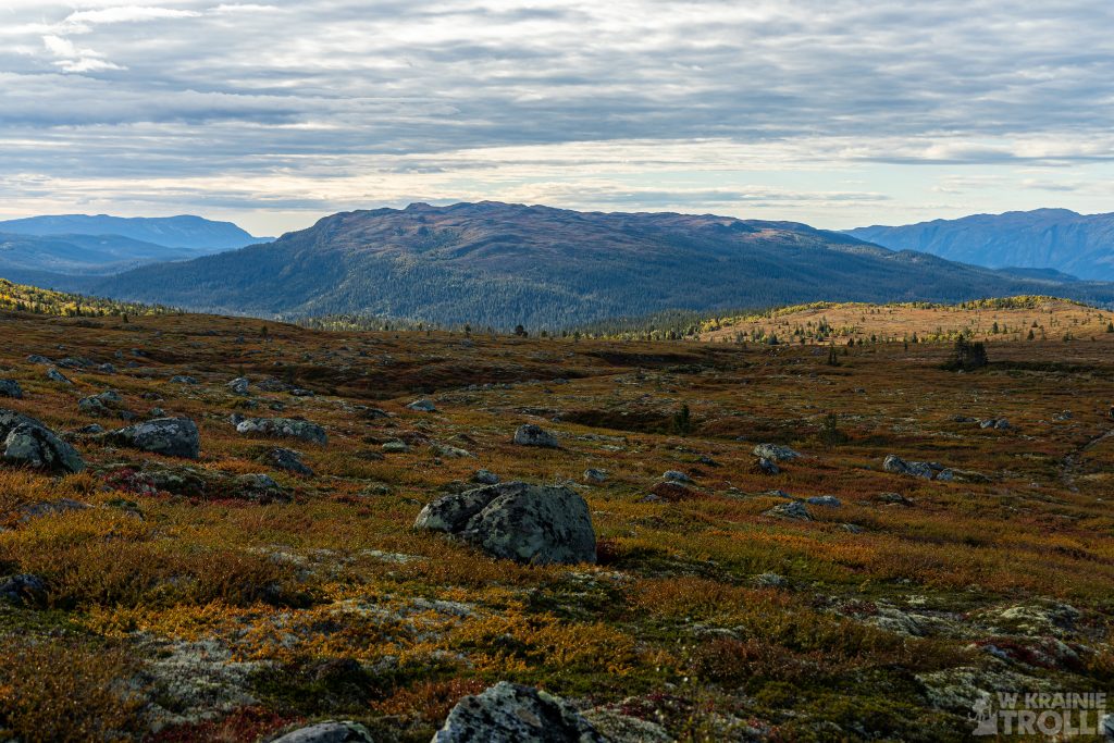
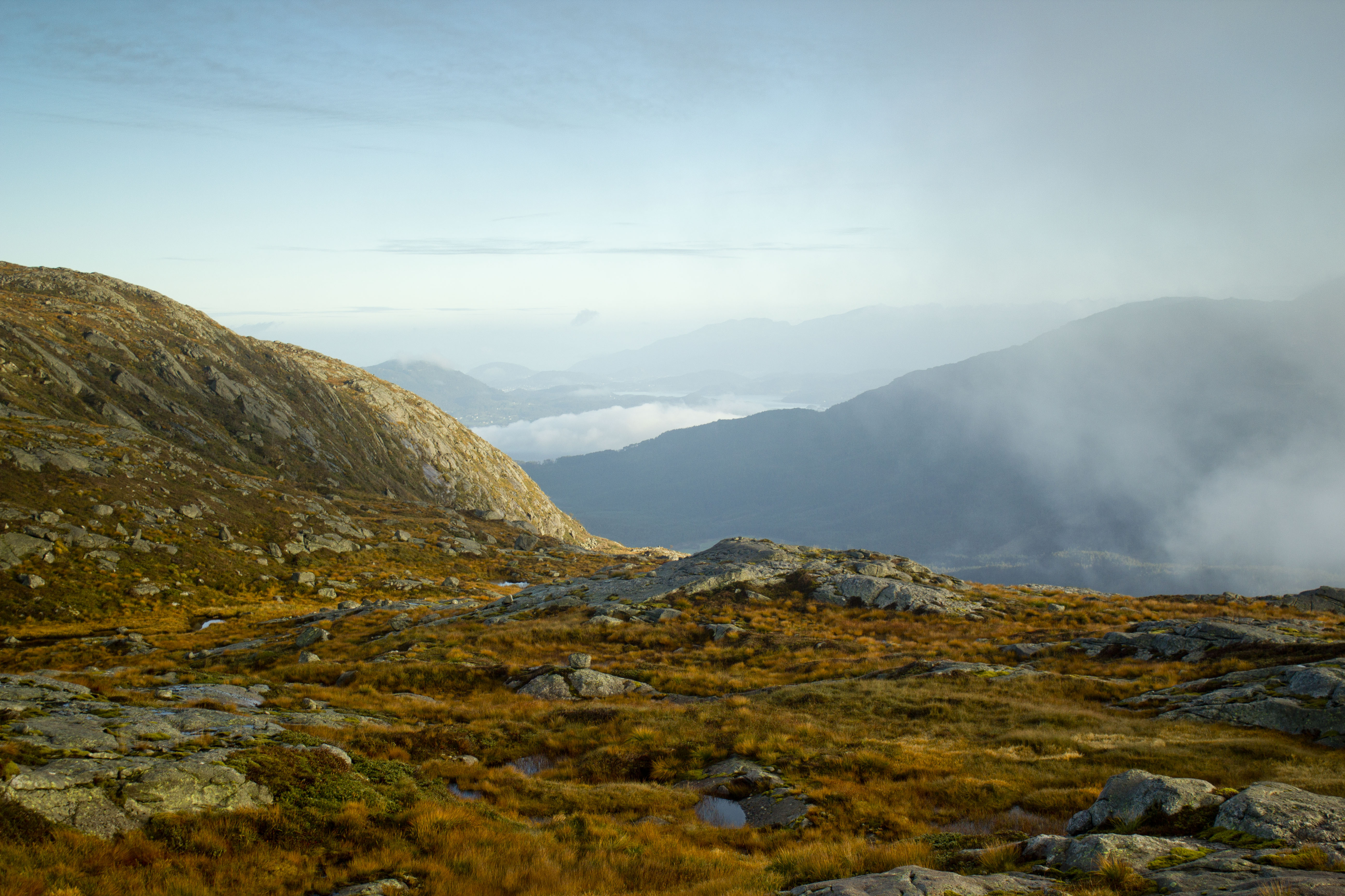
Dotarcie na szczyt Numedalshovdy nie okazało się trudne, a widoczki na miejscu przyjemnie łechtały oczy. Jednak zimno i wiatr szybko przegoniły mnie na dół. Odnalazłem ścieżkę prowadzącą w kierunku Skirveggnuten i ruszyłem dalej. Po kamieniach przekroczyłem rzekę i kierowałem się na północ. Wkrótce oprócz zimna i wiatru dostrzegłem kolejny problem. Ubranie na tę wycieczkę wygodnych Fivefingersów nie było najlepszym pomysłem. Owszem, buty są fantastyczne i świetnie się w nich chodzi, o ile jednak podłoże jest suche. Gdy tylko pojawia się wilgoć, choćby nie do końca zaschłe błoto lub jakiś nasiąknięty wodą mech, wędrówka w takich butach przestaje być komfortem. Błyskawicznie przepuszczają wodę i robi się mało przyjemnie. Oddać im należy, że szybko schną, ale w tym przypadku, przy tych temperaturach, nie miały szans przeschnąć. Ścieżka w pewnym momencie zamieniła się w grzęzawisko i nie było opcji, żeby nie zamoczyć tu czy tam stopy.
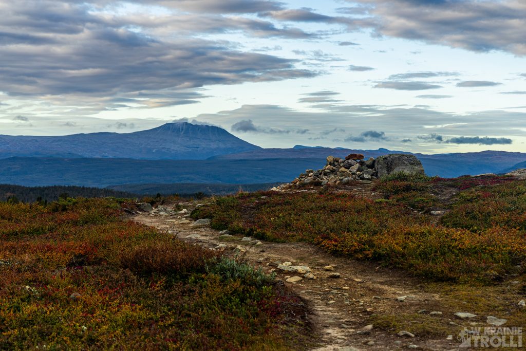
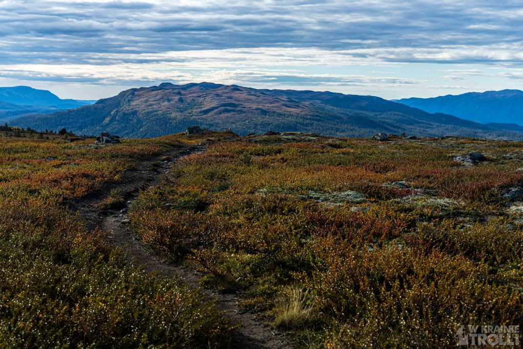
Trudno, nie zamierzałem zawracać w połowie drogi. U podnóża góry, znów zrobiło się sucho a kilka równolegle biegnących ścieżek, wydeptanych zapewne przez owce wskazywało całkowitą dowolność w wyborze dalszej marszruty. W kilka minut byłem na szczycie. Palce w lekkich rękawiczkach skostniały tak bardzo, że z trudem obsługiwałem aparat. Pstryknąłem w pośpiechu jakieś fotki i zarządziłem odwrót.
Nie udało mi się ogrzać w drodze powrotnej. Mimo pocierania o siebie dłoni, chuchania i dmuchania nadal ciężko było nimi operować. Dopiero po dotarciu z powrotem na parking i ustawienie w aucie ogrzewania pomogło. Jeśli zakładałem, że ta wycieczka miała być lekką i przyjemną odskocznią od poprzedniej, to trochę się przeliczyłem. Przede wszystkim jednak za bardzo zaufałem prognozom pogody, co trzeba będzie korygować w przyszłości.
Skirveggnuten, 1381m above sea level, is located in Tinn community. The trail is about 7km one way, but the difference in altitude between the beginning of the trail and the summit is just over 200 meters. On the way there is one more, lower hill, Numedalshovda (1164m above sea level).
To get there, I had to go to the northern part of Lake Tinnsjå. A few months earlier, I was climbing Haugefjell and Gjuvhold in almost the same place. Skirveggnuten is only 10.5 km in a straight line from Haugefjell. Encouraged by the forecasts, I prepared myself far too lightly for this trip. I was wearing short pants, light shoes (Fivefingers) and a sweatshirt. It was supposed to be up to 14 degrees. However, when I got there and parked next to the Håvardsrud Seterliv farm, I was surprised by the terrible cold. I could still take my jacket with me, but I left it in the car, assuming that it would get warmer soon. Instead, I took the cap and gloves before I went.
The trail starts in the cottage area, in a small parking lot next to the Håvardsrud Seterliv farm. This can be a great point for a trip when traveling with children. The farm is open to travelers and the owners are happy to show the kids animals on the farm. I found the path that took me beyond the boundaries of the civilization. The forest section of the route was quite short, and soon I stepped out into the open space. I was immediately able to identify the nearest mountain as Numedalshovda and the well-marked trail and well-trodden path led me in that direction. Very son I felt the wind. It was perhaps not particularly strong, but it did lower the perceived temperature by at least a few degrees. I quickly regretted not taking the jacket from the car.
Reaching the top of Numedalshovda was not difficult and the views on the spot tickled the eyes pleasantly. However, the cold and the wind quickly chased me down. I found the path towards Skirveggnuten and continued on. I crossed the river over the stones and headed north. Soon, in addition to the cold and wind, I noticed another problem. It was not a very good idea to wear comfortable Fivefingers for this trip. Yes, the shoes are fantastic and great to wear, as long as the ground is dry. As soon as there is moisture, walking in such shoes ceases to be a comfort. They let the water flow instantly and it gets not very pleasant. It should be said that they dry quickly, but in this case, at these temperatures, they had no chance to dry out. The path at some point turned into a swamp and there was no option not to get your foot wet here or there.
I wasn’t going to turn back halfway because of that. At the foot of the mountain, it got dry again, and several parallel paths, probably trampled by sheep, indicated complete freedom in choosing a further route. In a few minutes I was at the top. The fingers in light gloves had become fossilized so much that I could hardly operate the camera. I took some photos in a hurry and ordered a retreat.
I was unable to warm up on the way back. Despite rubbing my hands together, blowing and squeezing, there were still hard to operate. Only after getting back to the parking lot and setting up the heating in the car helped. If I assumed before that this trip was supposed to be a easy and pleasant break from the previous one, I miscalculated a bit. Above all, however, I trusted the weather forecasts too much, which will have to be corrected for the future.


