Akslandsnuten & Glåmestøl
Od poprzedniej górskiej wyprawy mijał już tydzień i moje nogi rwały się do kolejnego wyzwania. Ból kolan, tak dokuczliwy podczas schodzenia do Rullestad przycichł i nie dawał o sobie znać. Wyglądało na to, że mogłem zaplanować jakąś nową wycieczkę. Nie chciałem jechać zbyt daleko. Zresztą to daleko oznaczało również góry wyższe niż te, które miałem w swojej okolicy i jednocześnie wciąż pokryte śniegiem. Nie chciałem się w to ładować. Szukałem więc czegoś nie przekraczającego 1000 metrów nad poziomem morza. Długo zastanawiałem się nad celem, zmieniając go, gdy już miałem zaplanowaną trasę aż w końcu zdecydowałem się pojechać na Akslandsnuten (821m n.p.m.).
Góra ta znajduje się tuż przy drodze 46 prowadzącej do Saudy, a jej niemal pionowe ściany od południa, wschodu i zachodu oraz widok, jaki oczekiwałem zastać na szczycie, sprawiły, że już od dłuższego czasu miałem na nią chrapkę.
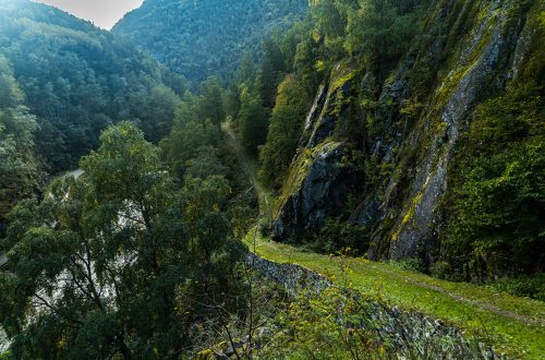
Początek trasy znajduje się tuż przy wspomnianej drodze 46, ale jest on niemal niewidoczny z drogi, bo ścieżka jest mocno zarośnięta trawą i przesłonięta drzewami. Pozostawiłem auto w niewielkiej zatoczce przy zjeździe z drogi do pobliskiego gospodarstwa, tuż przed tunelem w Aksland (Akslandtunnelen). Następnie wystarczyło przejść przez jezdnię, żeby dojrzeć ścieżkę i nią podążyć. Ta biegła początkowo równolegle do drogi i pięła się od razu pod górę. Potem tradycyjnie zakosami między drzewami. Wysoka trawa i paprocie ocierały się o moje nogi i miałem wrażenie, że wrócę do domu z bandą kleszczy wczepionych w skórę. Na szczęście udało się uniknąć spotkania z tymi wrednymi pasożytami.
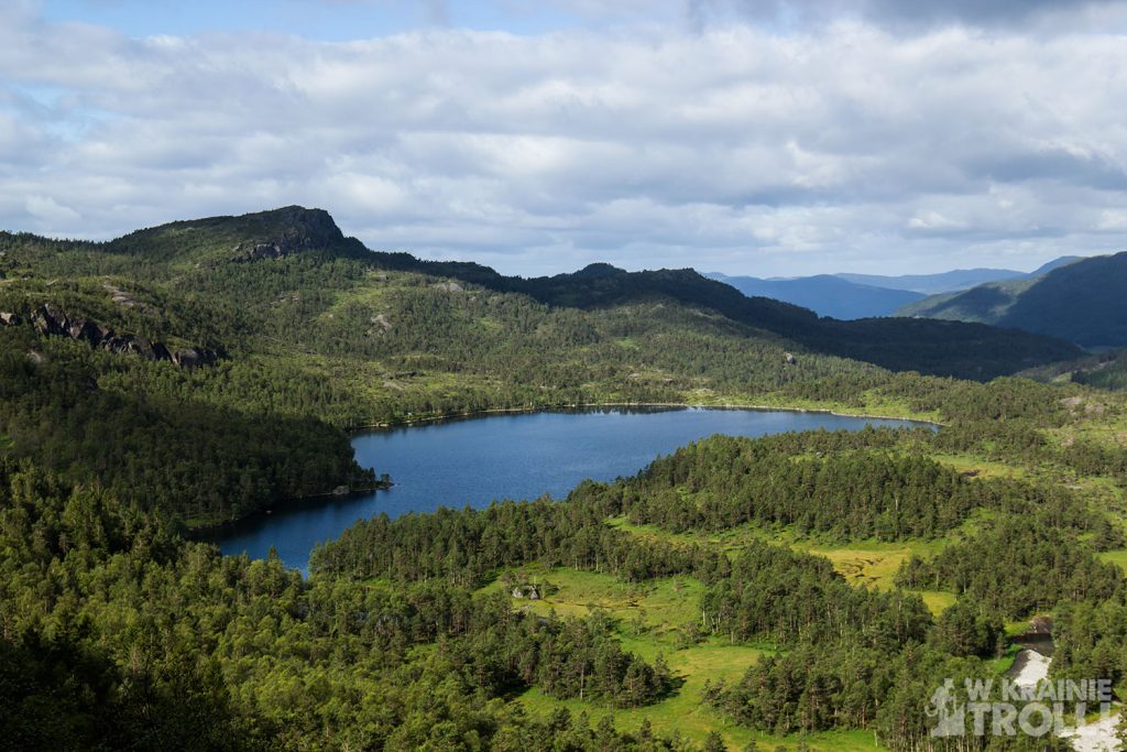
Po jakimś czasie natrafiłem na szeroką drogę, która docierała aż tutaj z miejsca położonego gdzieś po drogiej stronie tunelu. Poszedłem nią przez jakiś czas, ale potem moja trasa skierowała mnie znów na odchodzącą w las ścieżkę. Piąłem się w górę do czasu aż dotarłem na przełęcz i ciągnący się za nią płaskowyż. Ścieżka biegła dalej wschodnim skrajem rozległej polany. W oddali dostrzegłem jezioro, noszące nazwę Vasstølvatnet a dalej na północnym zachodzie masyw górski ze szczytem Horganuten, na który kiedyś się wspinałem. Po mojej prawej stronie ciągnęła się pionowa ściana Akslandsnuten. Dwukrotnie ścieżka przechodziła obok czyichś chatek wypoczynkowych. Na trzecią natrafiłem znacznie dalej, gdy przyszło mi zmienić kierunek marszu i zamiast na północ, po wykonaniu zgrabnego łuku udać się na południe.
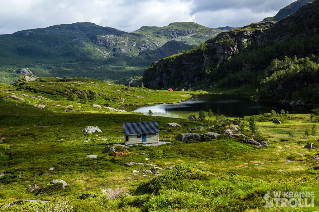
Ostatni odcinek i finałowe podejście na szczyt jest o tyle dziwne, że pozbawione widocznej ścieżki. Z początku owszem jest takowa, ale urywa się ona nagle i dalej przyszło mi iść po trawie, wrzosach i inszym zielsku. Na szczęście nie było zbyt mokro, nie musiałem więc martwić się mokrymi butami. W dole za sobą dostrzegłem jakąś parę zmierzającą moim tropem.
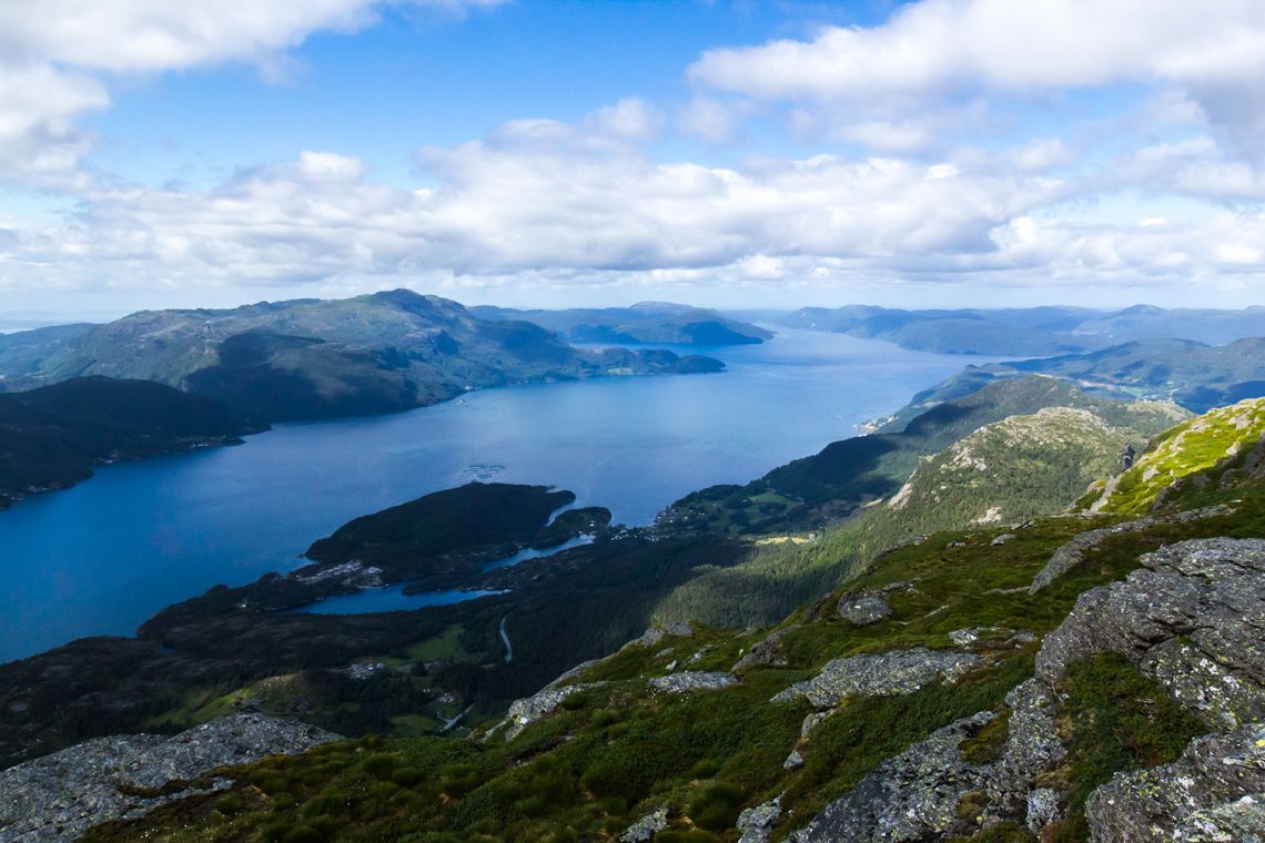
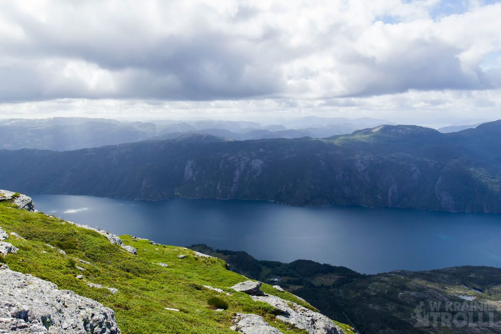
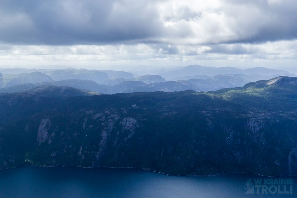
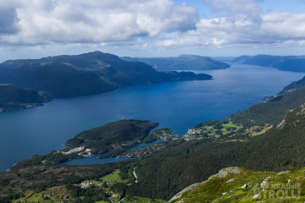
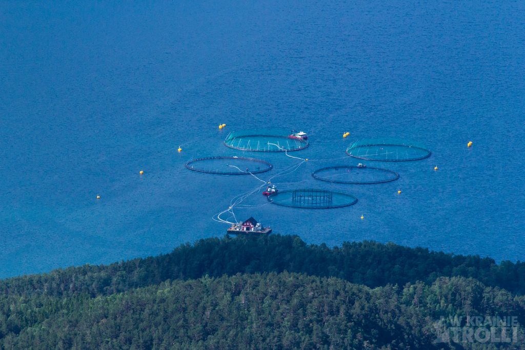
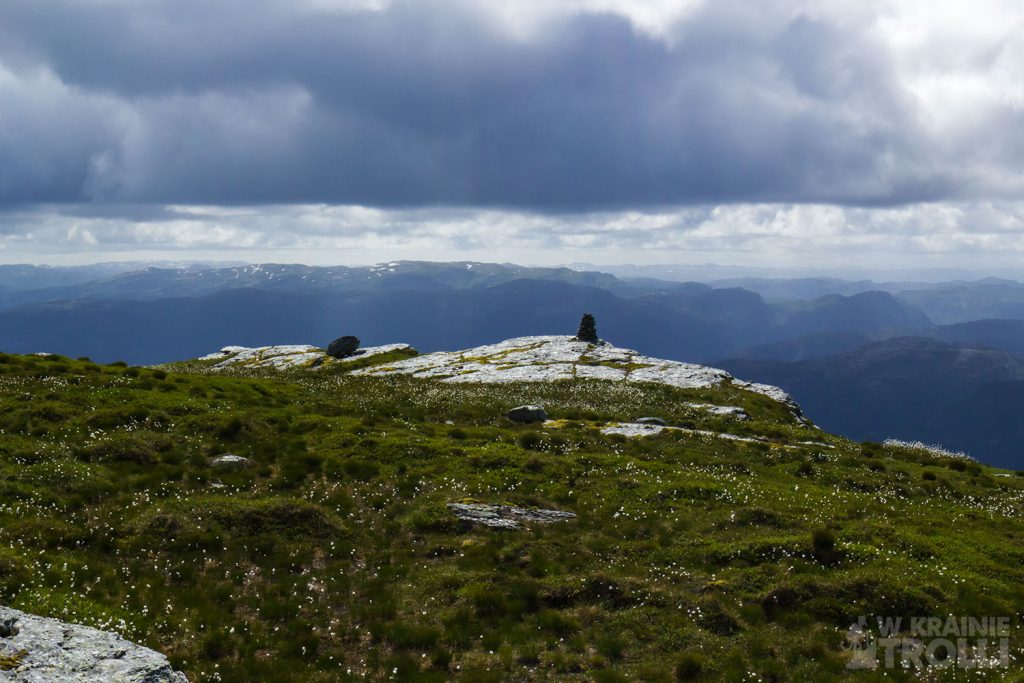
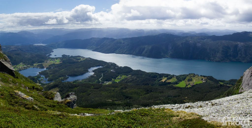
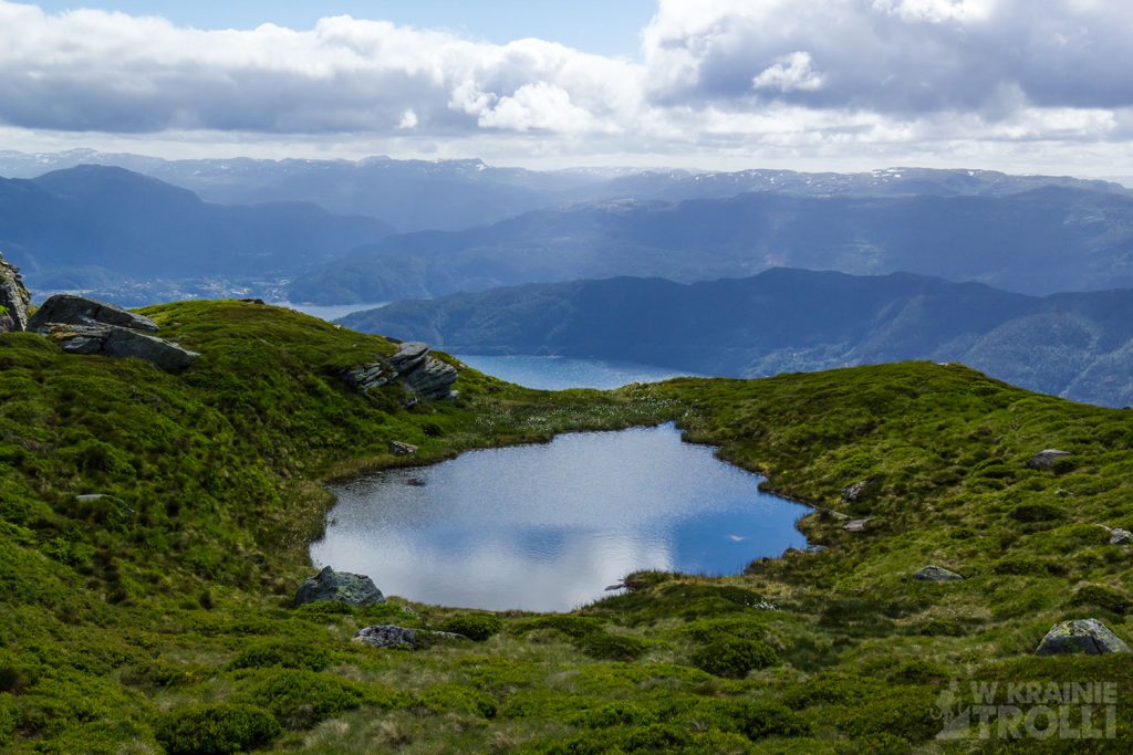
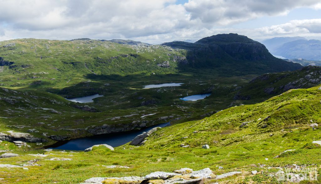
Przez całą drogę widoki były raczej przeciętne i musiałem cieszyć się bardziej samą wędrówką niż mijanym otoczeniem. Ale gdy w końcu dotarłem na szczyt, to co ujrzałem, zrekompensowało mi całą dotychczasową trasę. Co zresztą będę opisywał. Zerknijcie sami. Po prostu cudo.
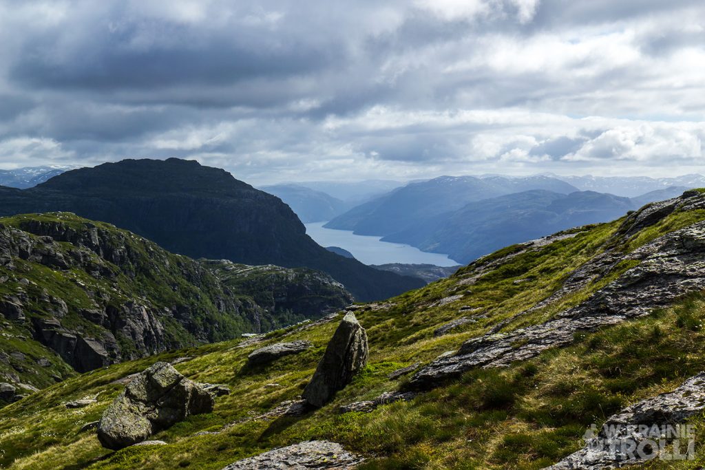
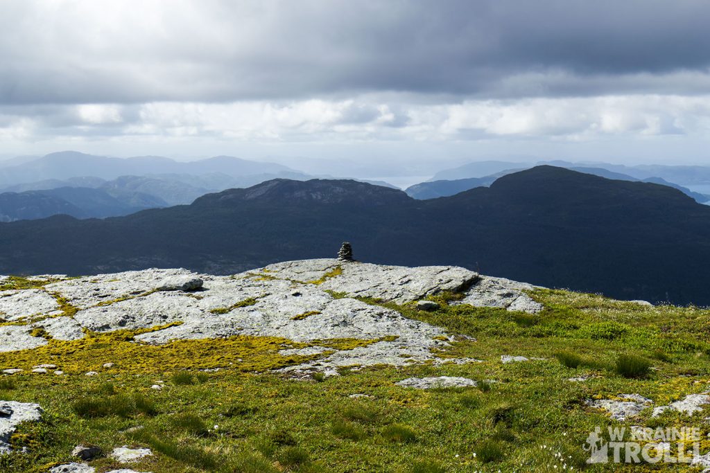
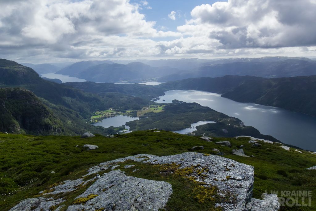
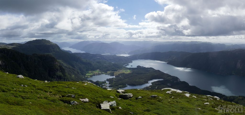
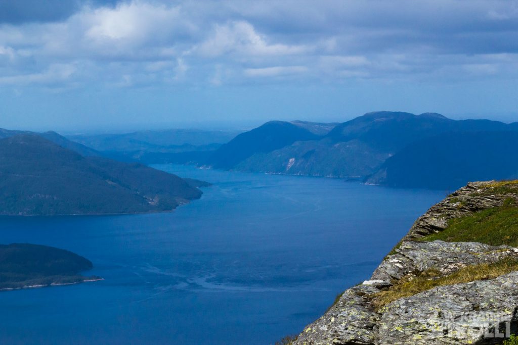
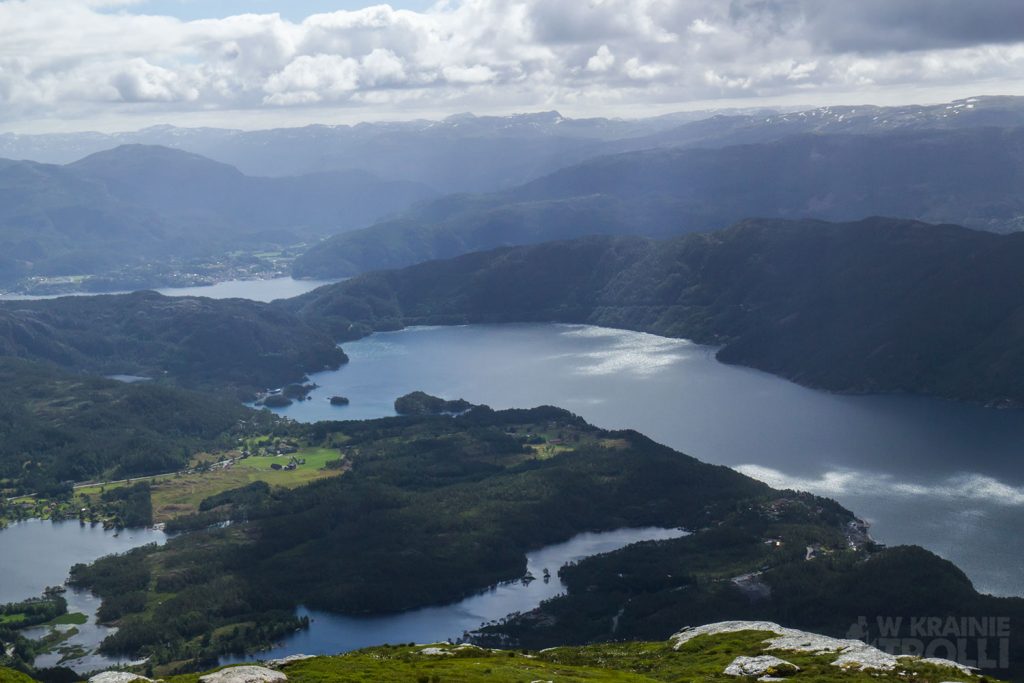
Poszwendałem się trochę wokół z aparatem, poczekałem na dwójkę Norwegów, którzy dotarli niedługo na miejsce by zaraz potem zniknąć mi z oczu. Ujrzałem ich potem znowu na wschodniej stronie stoku i pomyślałem, że mają zamiar iść dalej i wejść na sąsiednią górę, Glåmestøl, która znajdowała się o rzut kamieniem od Akslandsnuten. Sam zamierzałem już wracać, ale widok tej pary i myśl, że oni pewnie jeszcze nie kończą wędrówki zapalił mi w głowie czerwoną lampkę ambicji. Skoro oni mogą, to ja też, pomyślałem i natychmiast ruszyłem w stronę Glåmestøl.
Norwedzy zniknęli mi z oczu i jak się później okazało, wcale nie szli na kolejny szczyt a jedynie natrafili w tamtym miejscu na ścieżkę prowadzącą w dół. Ujrzałem ich potem daleko w dole, w drodze powrotnej. Ja sam, napędzany powziętą już decyzją nie mogłem zrezygnować z postawienia nogi na kolejnej górce.
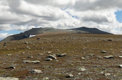
Wejście na Glåmestøl (794m n.p.m.) okazało się dość łatwe, choć widoki ze szczytu nie były już tak spektakularne. Szybko zwinąłem się stamtąd i podążyłem w drogę powrotną. Ponownie musiałem przedzierać się przez niską roślinność, sporadycznie tylko natrafiając na jakieś ścieżki, które zaczynały się jakby znikąd i równie nagle się urywały. W końcu dotarłem do domku wypoczynkowego, skąd biegł już dość wyraźny szlak. Bez problemów dotarłem wkrótce do samochodu, ze świadomością świetnie wykorzystanych kilku godzin.
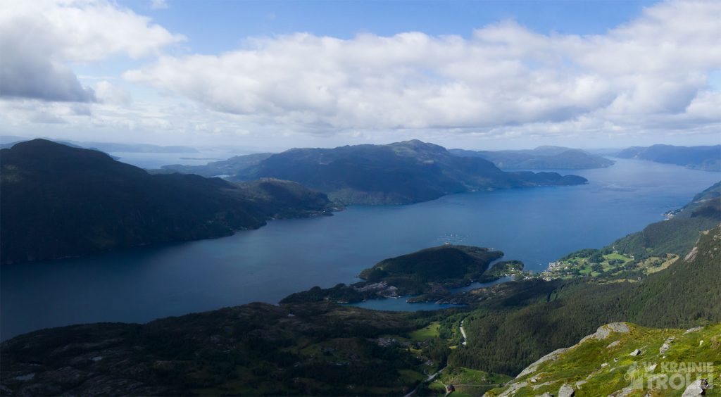
A week had passed since the previous mountain expedition and my legs were ready for the next challenge. The pain in my knees, which had been so painful when I descended to Rullestad, had ceased and I felt well. It looked like I could planning some new trip. I didn’t want to go too far. Anyway, it also meant mountains higher than those I had in my area and still covered with snow. I didn’t want to get into it. So I was looking for something not exceeding 1000 meters above sea level. After a long searching on the internet map I finally decided to go to Akslandsnuten (821m above sea level).
This mountain is located just off the road 46 leading to Sauda, and it has almost vertical walls from the south, east and west, so the view that I expected to find at the top, gave me a lot of enthusiasm.
The beginning of the route is right next to the road 46, but it is almost invisible from the road, because the path is overgrown with grass and covered by trees. I left the car in a small parking lot at the exit of the road to a nearby farm, just before the tunnel in small village, Aksland (Akslandtunnelen). Then it was enough to cross the road to see the path and follow it. At first, it ran parallel to the road and immediately climbed up. Then traditionally weaves between the trees. Tall grass and ferns rubbed against my legs, and I though that I will come home with a bunch of ticks clung to my skin. Fortunately, I managed to avoid meeting these nasty parasites.
After a while I came across a wide road that came all the way here from somewhere on the expensive side of the tunnel. I followed it for a while, but then my route directed me back onto the path that went off into the woods. I kept climbing until I reached the pass and the plateau behind it. The path continued along the eastern edge of a vast clearing. In the distance I saw a lake called Vasstølvatnet and further to the northwest a mountain range with the peak of Horganuten, which I had once climbed. A vertical wall of Akslandsnuten stretched to my right. Twice the path passed someone’s vacation cabins. I came across the third one much further, when I had to change the direction of the march and instead of going north, I turned to south.
The last episode and the final ascent to the top is so strange that it has no visible path. At first it is like that, but it breaks off suddenly and I have to walk on grass, heather and other weeds. Luckily it wasn’t too wet, so I didn’t have to worry about wet shoes. Down below me, I saw a couple on my way.
All the way the views were rather average and I had to enjoy the hike itself rather than the surroundings. But when I finally got to the top, what I saw made up for my entire route so far. I am not able to describe it. Take a look to see it yourself. It’s just a miracle.
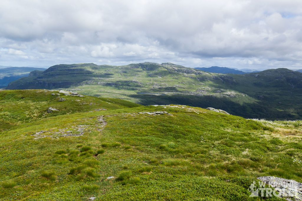
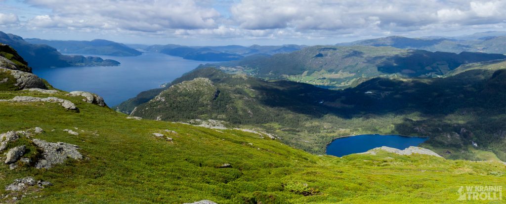
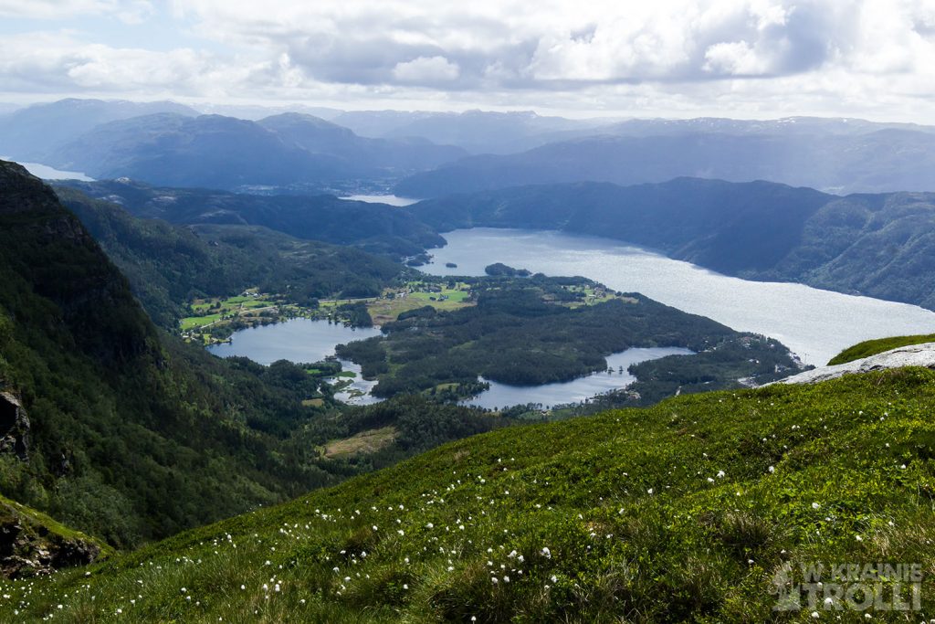

I wandered around a bit with the camera, waited for the two Norwegians who arrived shortly thereafter and then disappeared from my sight. Then I saw them again on the eastern side of the slope and I thought they were going to go further and climb the neighboring mountain, Glåmestøl, which was a stone’s throw from Akslandsnuten. I was going to go back myself, but the sight of this couple and the thought that they probably are not yet finishing their journey lit a red lamp of ambition in my head. If they can, so I can as well, I thought, and immediately headed for Glåmestøl.
The Norwegians disappeared from my sight and as it turned out later, they did not go to the next summit, but only found a path leading down there. Then I saw them far below on the way back. For myself, driven by a decision I had already made, I could not give up on the next hill.
The climb to Glåmestøl (794m above sea level) turned out to be quite easy, although the views from the top were not so spectacular. I quickly rolled up from there and started my way back. I had to struggle through the low vegetation again, only occasionally hitting some paths that started out of nowhere and ended just as suddenly. Finally I got to the old cabin, from which there was already quite a clear trail. I soon got to my car without any problems, knowing I had spent a few hours well.


