Hålandshovda
Szczyt Hålandshovda jakoś nigdy nie był wysoko na mojej liście priorytetowych miejsc do odwiedzenia. Trochę dziwne, zważywszy, że widoki z tej góry naprawdę robią wrażenie. No, ale do tej pory nie wiedziałem, że to taka fajna górka.
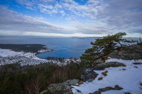
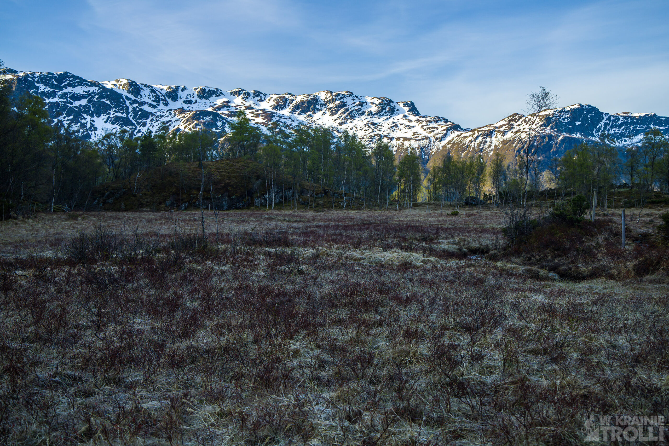
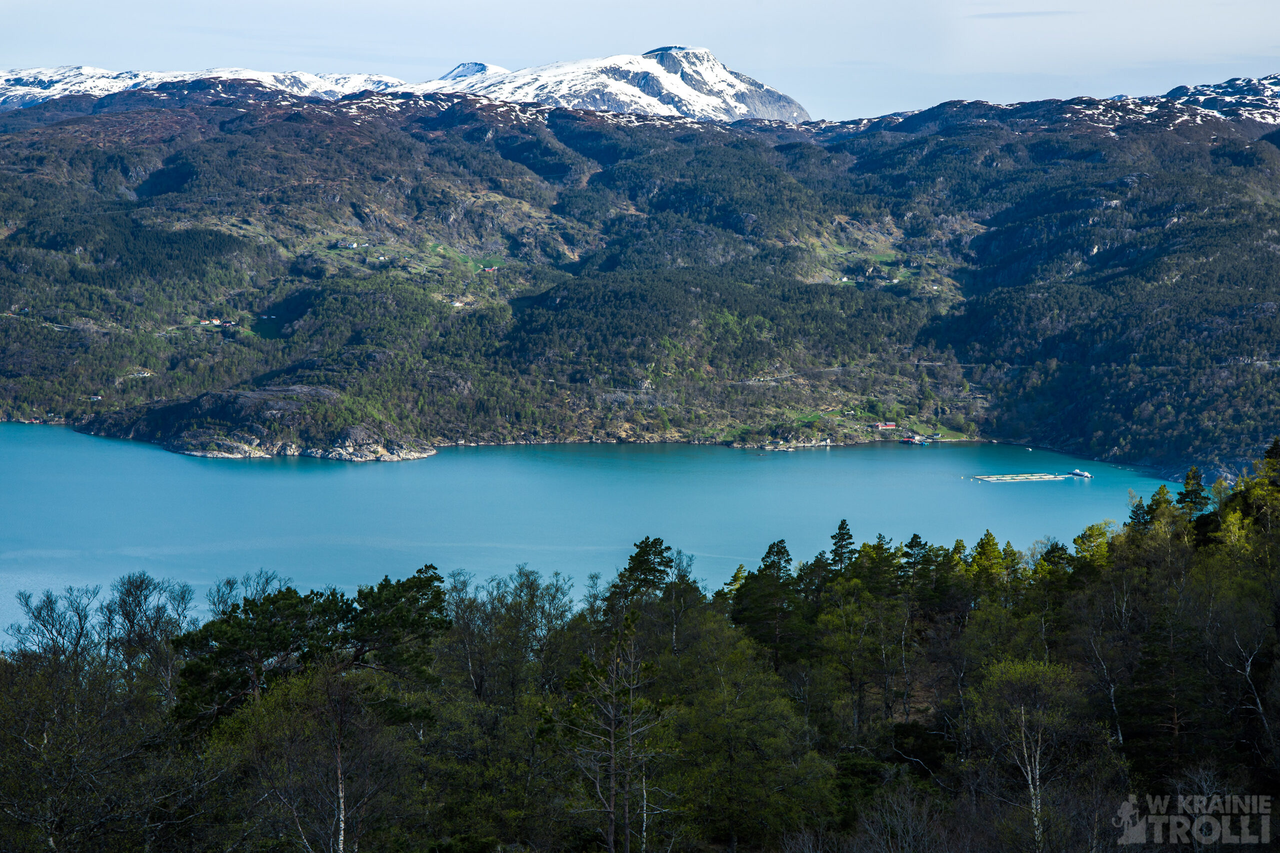
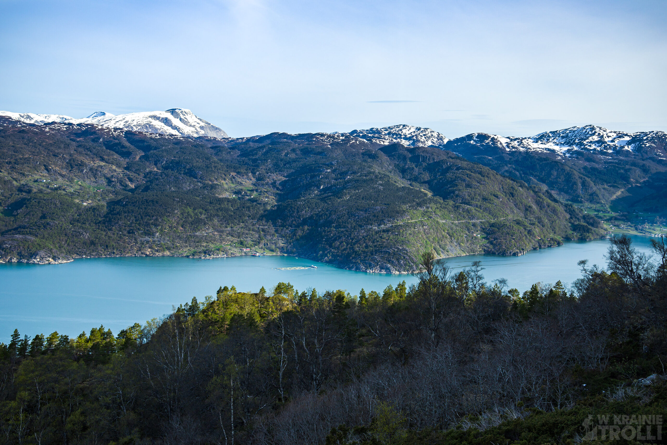
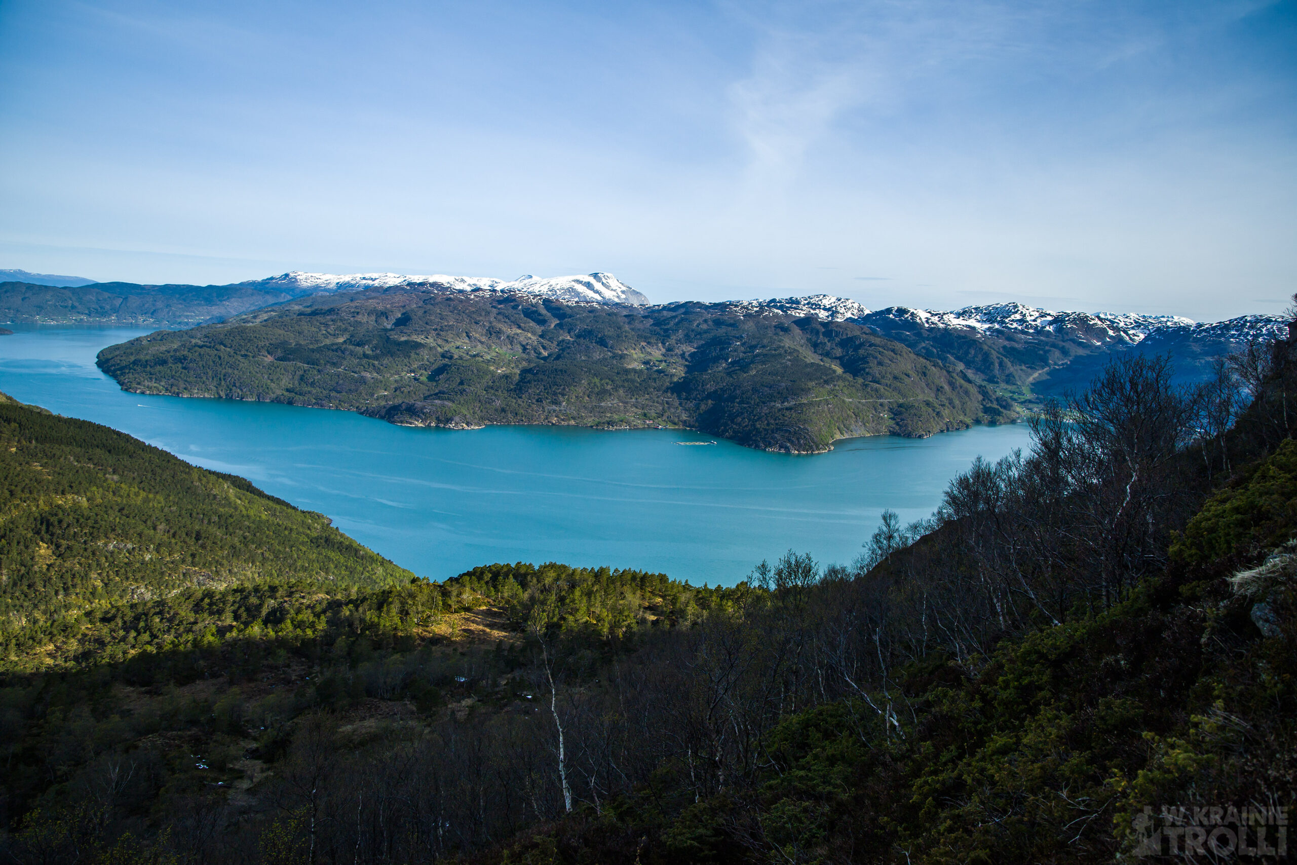
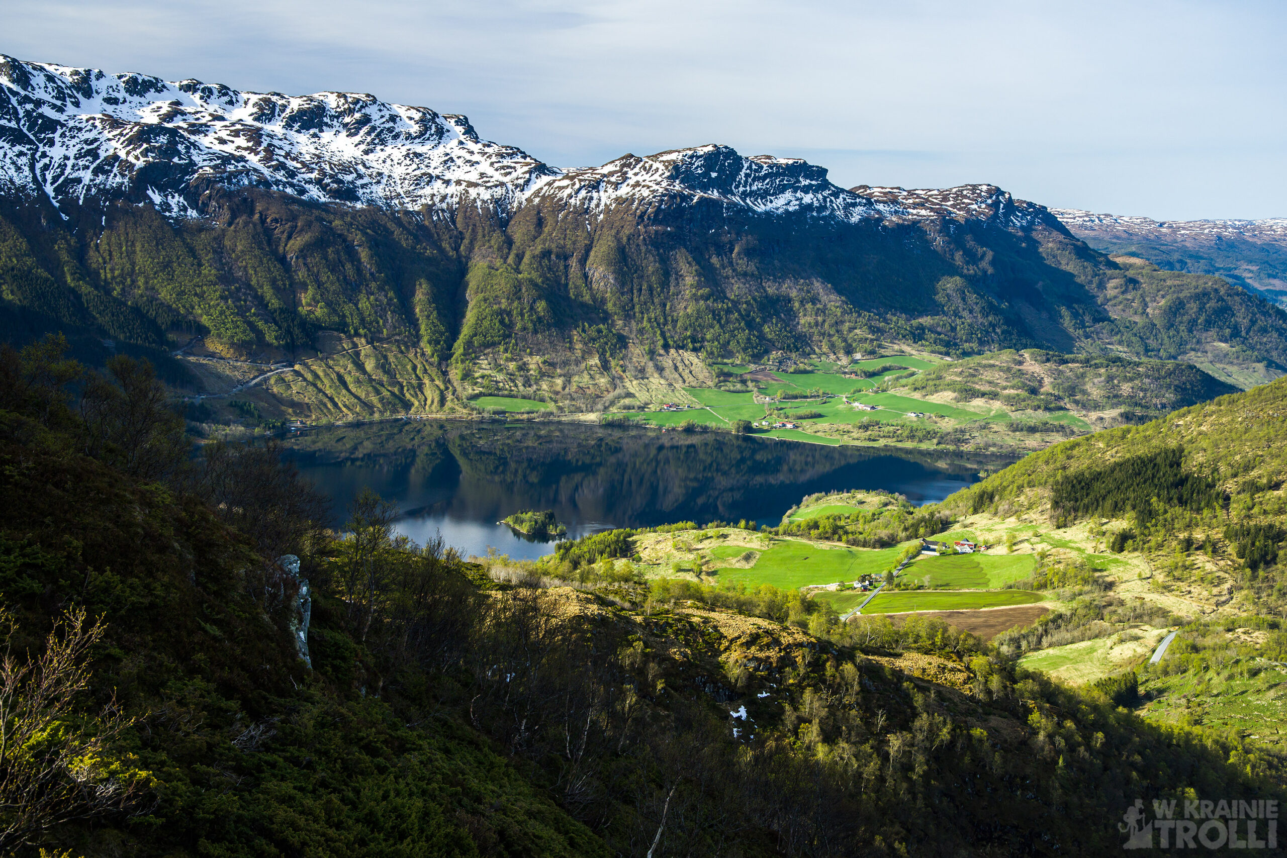
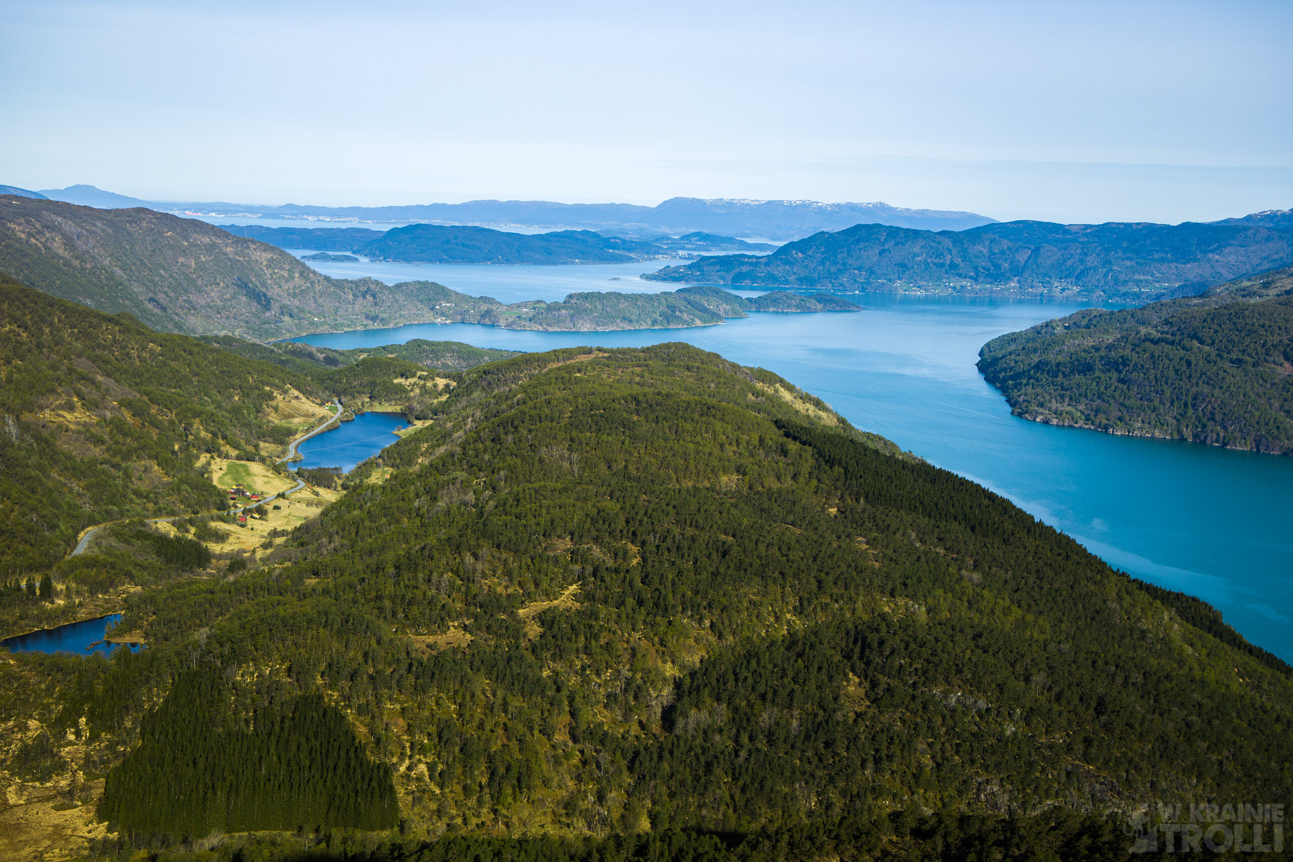
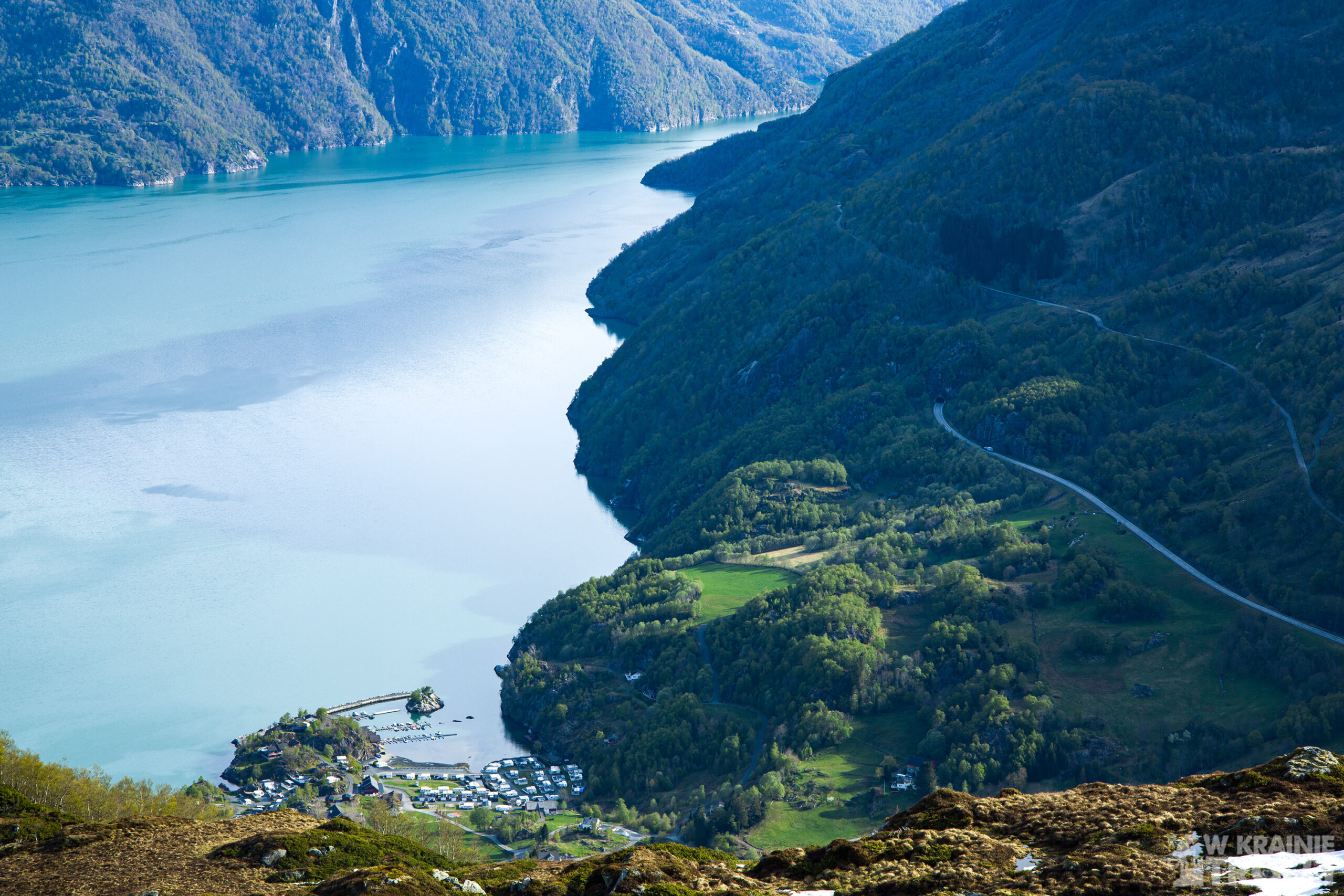
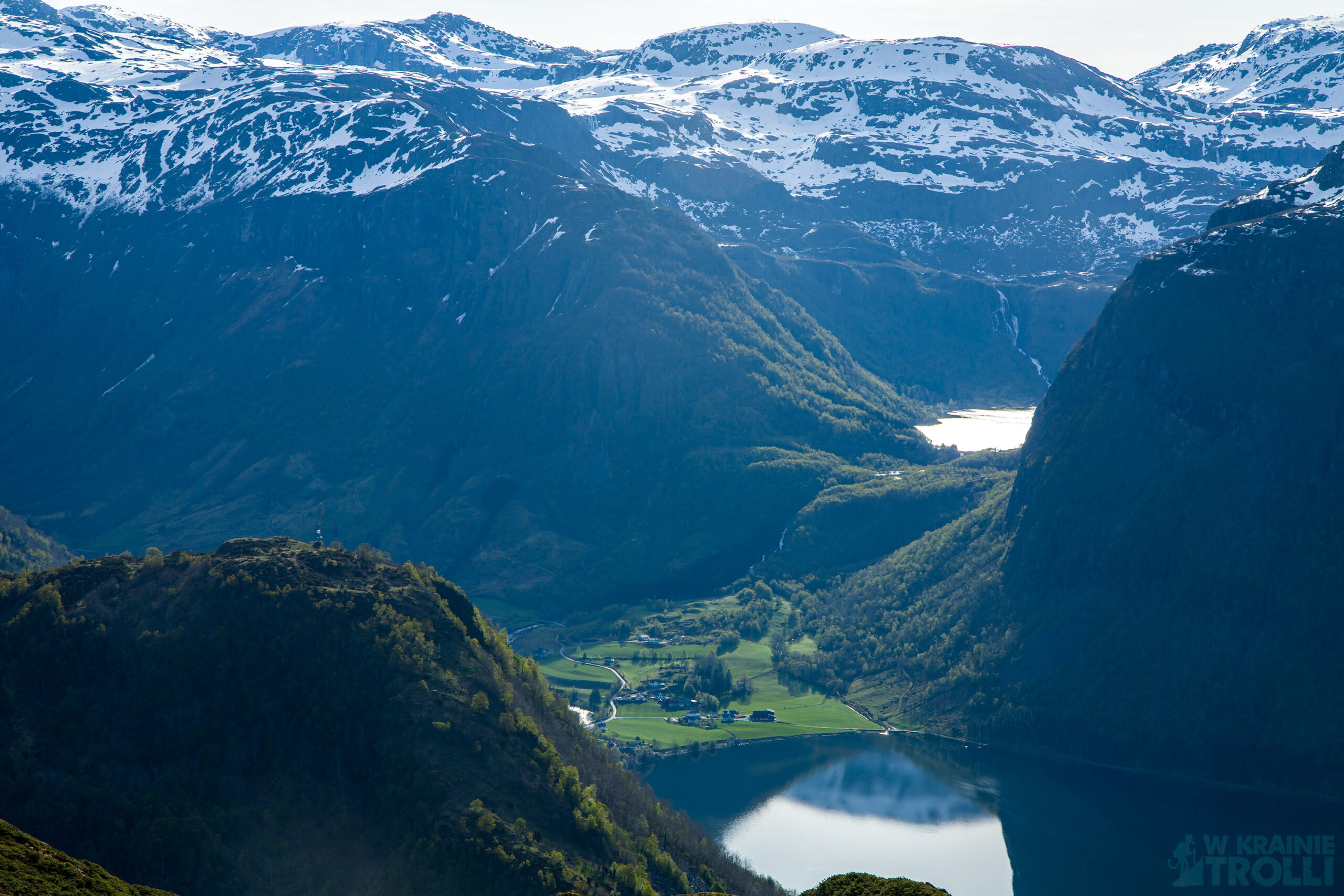
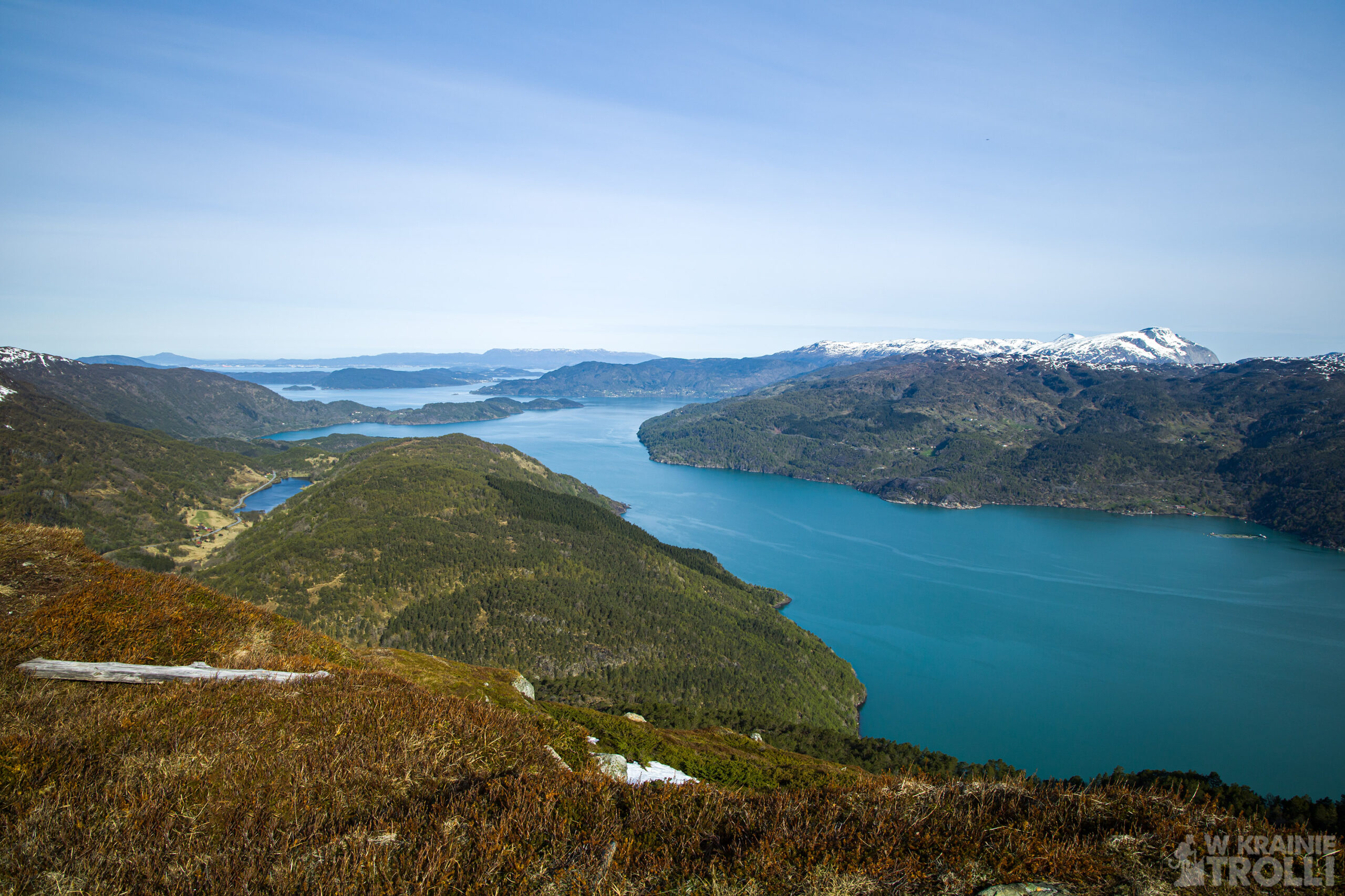
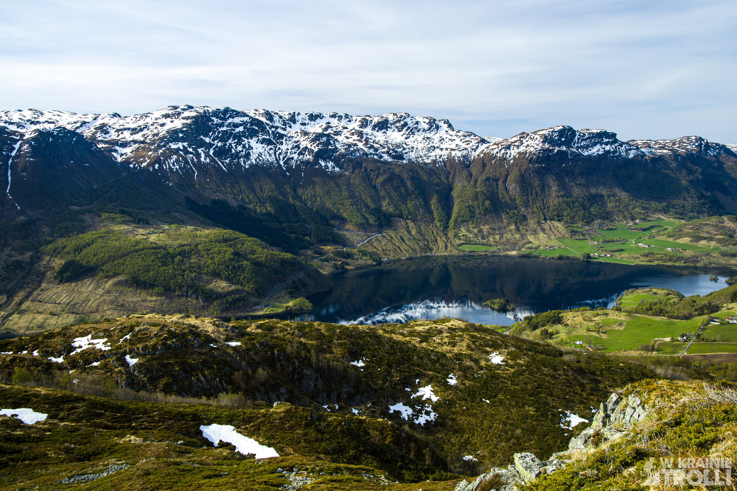
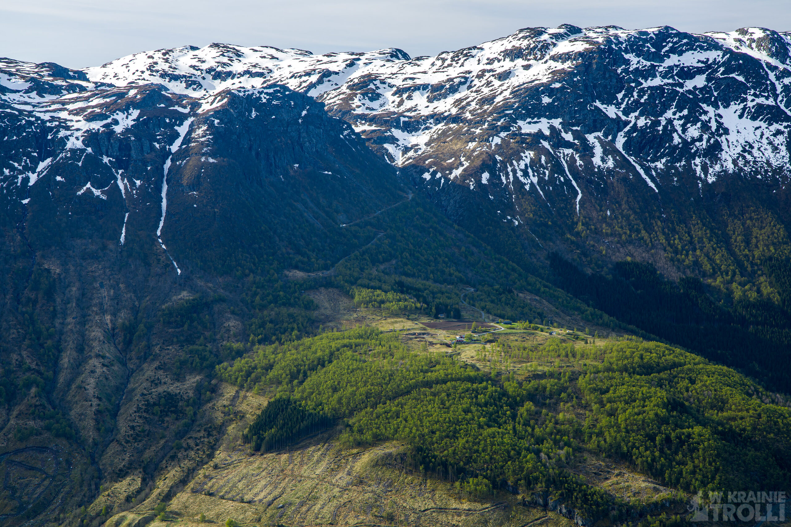
Hålandshovda to kolejny szczyt, leżący przy drodze E134, jakieś 13km na wschód od miasteczka Etne w zachodniej Norwegii. Okolica jest wyjątkowo urocza. Z wierzchołka można podziwiać jezioro Stordalsvatnet na południu i strome zbocza gór nazywanych Etnefjellet (lub Etnefjellene). Od północy rozciąga się Åkrafjorden i góry na przeciwległym brzegu. Przy dobrej pogodzie (a mi się taka trafiła) można również dostrzec oddalone o 33km w linii prostej miasto Leirvik na wyspie Stord.
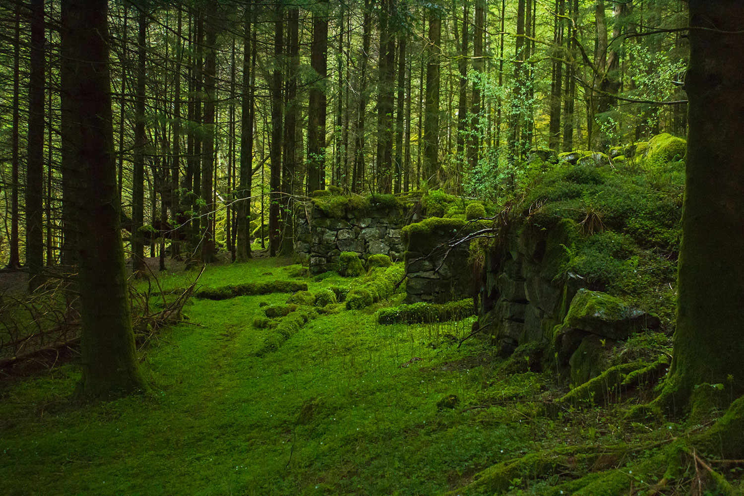
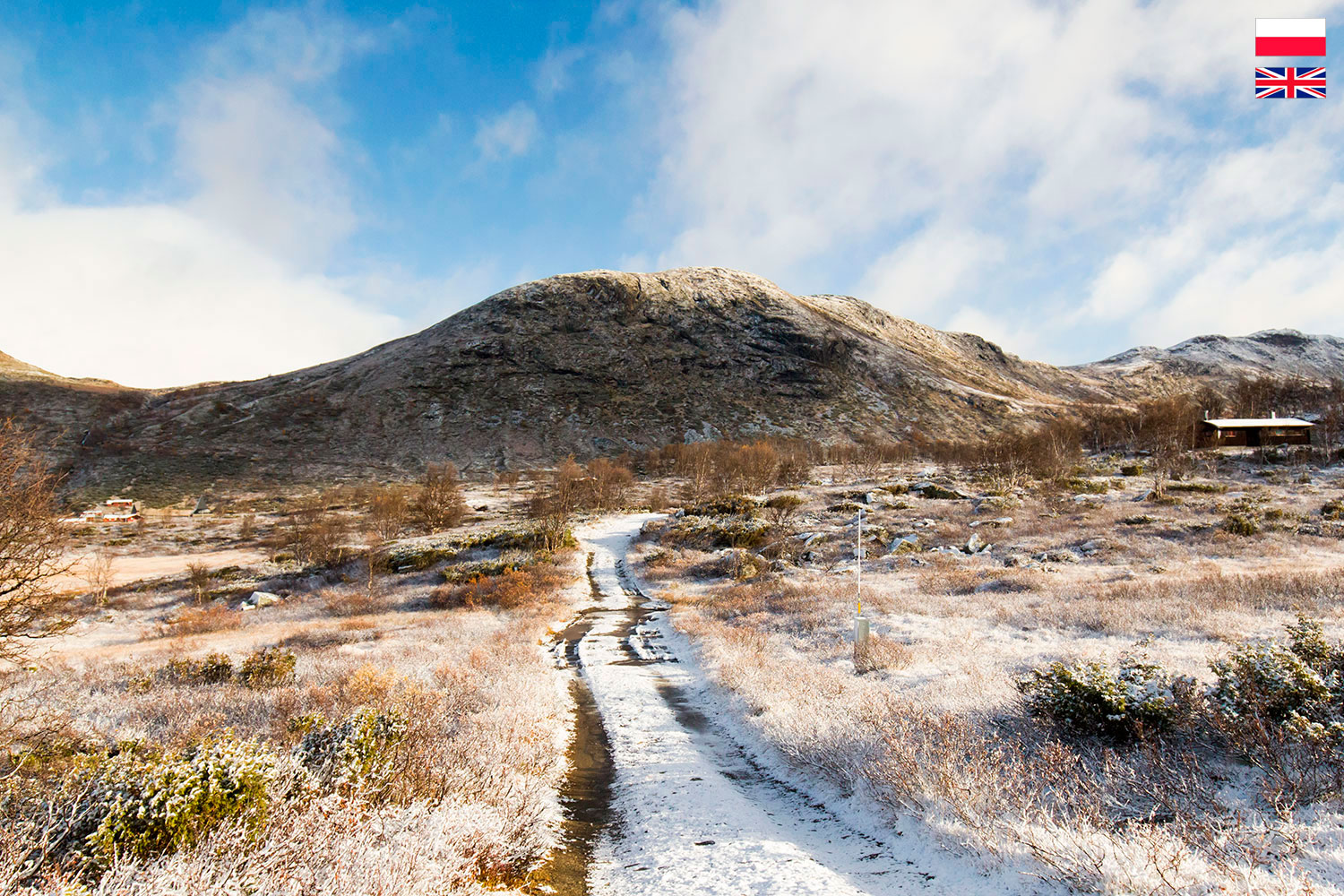
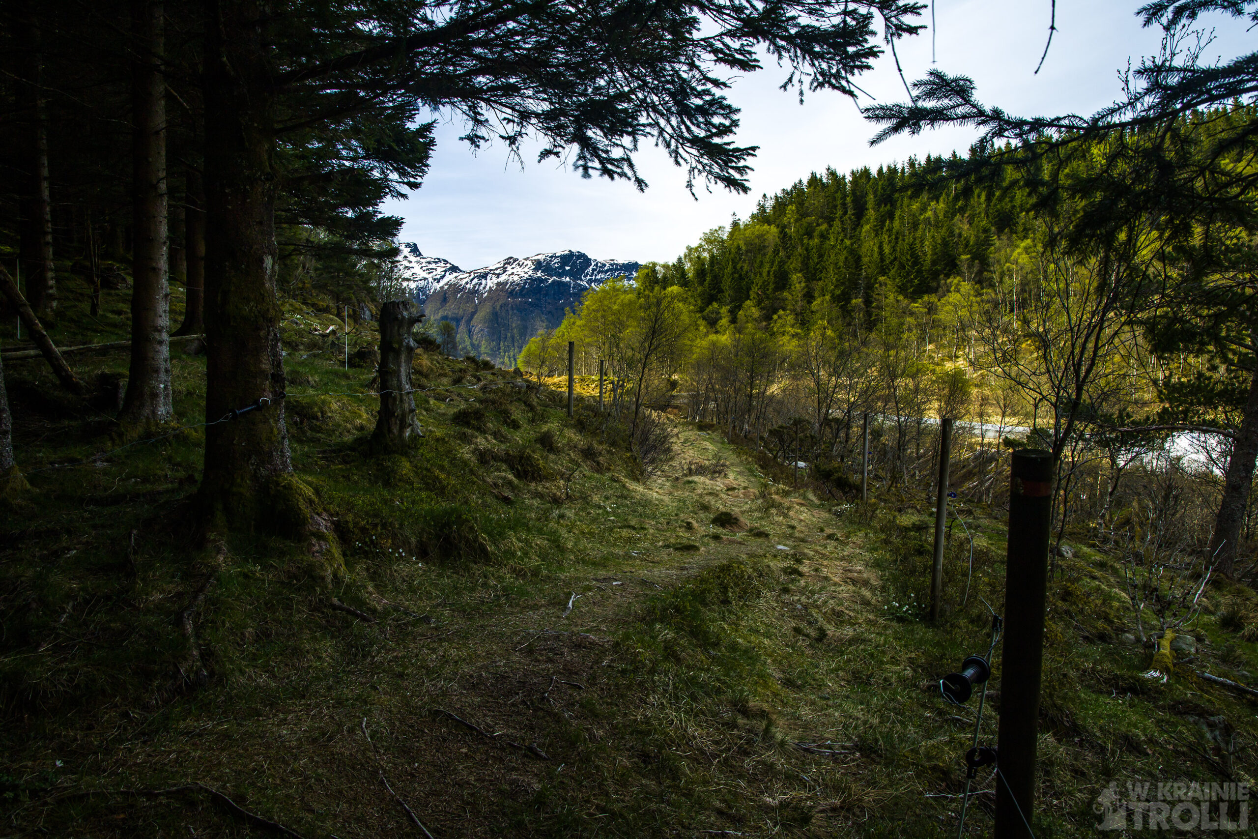
Aby odnaleźć początek szlaku, należy odbić z głównej drogi E134 na północ w okolicy niewielkiej miejscowości Kyrping i kierować się na kolejne miasteczko, Skånevik. Trasa zaczyna się jakieś 2km od skrzyżowania, a na parkingu przy drodze śmiało może pomieścić się kilka aut. Z tego samego miejsca prowadzi inny szlak, nieco dłuższy i bardziej wymagający, na sąsiednią górę, Hålanuten. Wejście na Hålandshovda nie powinno sprawić trudności nawet początkującym piechurom i osobom bez kondycji. Trasa jest krótka i liczy około 1,5km Jedyne trudności, które trzeba wziąć pod uwagę to podmokły teren na początku i strome podejście pod koniec marszu.


Hålandshovda Peak has never been high on my list of priority places to visit. A bit strange, considering that the views from this mountain are really impressive. Well, so far I did not know that it is such a cool mountain.
Hålandshovda is another peak on the E134 road, some 13 km east of the town of Etne in western Norway. The area around is extraordinary lovely. From the top you can admire Lake Stordalsvatnet to the south and the steep slopes of the mountains called Etnefjellet (or Etnefjellene). The Åkrafjorden stretches to the north and there are the nice mountains on the opposite shore. In good weather, you can also see the city of Leirvik on the island of Stord, 33 km away in a straight line.
To find the beginning of the trail, take the E134 main road and turn to the north near the small village of Kyrping and head towards the next town of Skånevik. The route starts about 2 km from the crossing, and the parking lot by the road can easily accommodate several cars. Another trail, a bit longer and more demanding, leads from the same point to the neighboring mountain, Hålanuten. The ascent of Hålandshovda should not be difficult even for beginner hikers and people with no physical condition. The route is short (about 1.5 km). The only difficulties that need to be taken into account are the wetlands at the beginning and the steep climb at the end of the walk.