Hvaler
Hvaler to archipelag wysp leżący tuż przy szwedzkiej granicy, a także nazwa gminy z centrum administracyjnym w miasteczku Skjærhalden na wyspie Kirkeøy. Hvaler, a dokładniej Ytre Hvaler nasjonalpark to jeden z Parków Narodowych Norwegii. Utworzony w 2009 roku, obejmuje 354 km2 powierzchni, z czego 340 km2 przypada na obszary morskie. Od południa graniczy ze szwedzkim Parkiem Narodowym Kosterhavet.
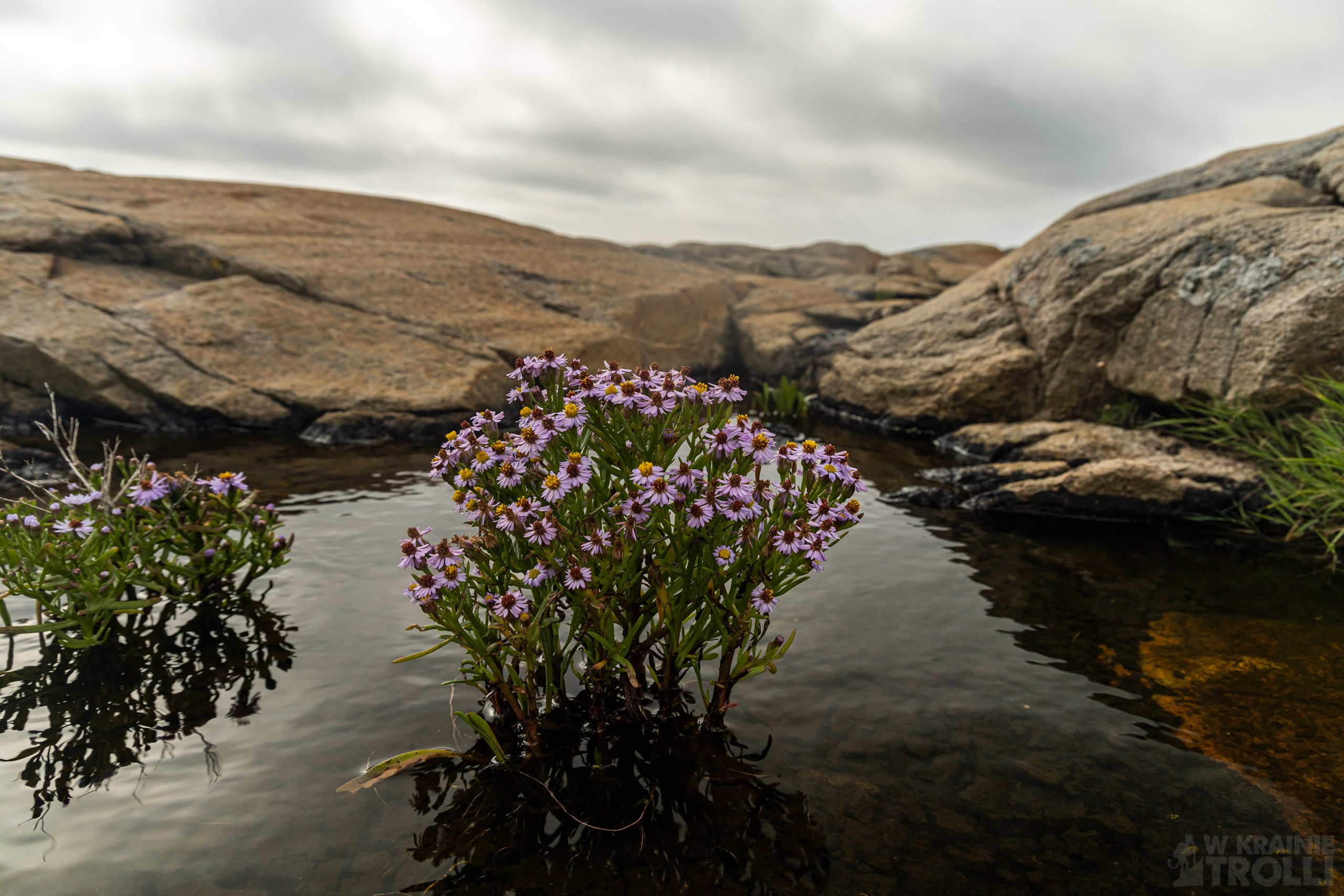
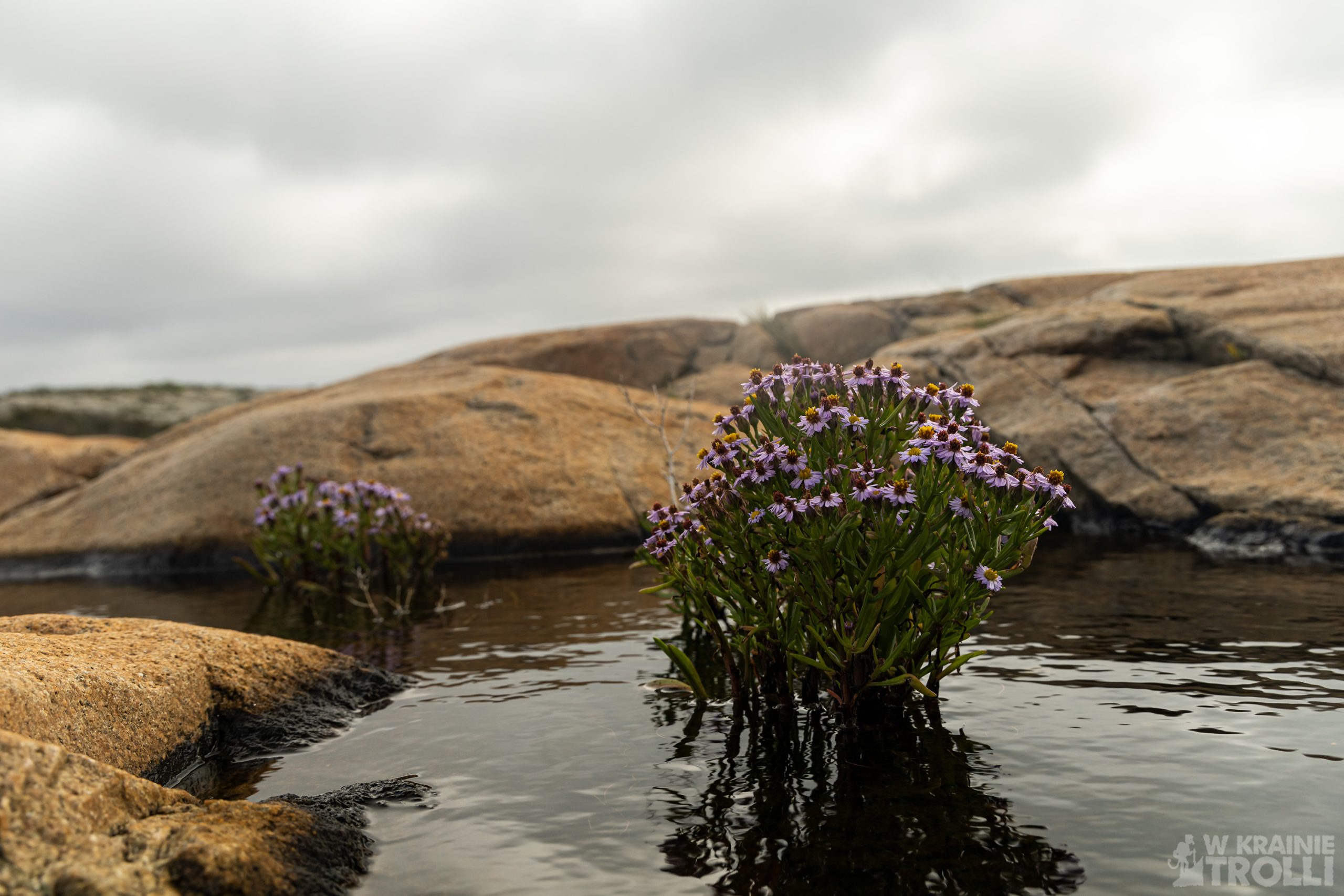
Wyspy Hvaler od dawna znane są z wielu rzadkich i zagrożonych gatunków roślin, a lokalna fauna motyli jest szczególnie różnorodna. Pod powierzchnią morza występują lasy i pola wodorostów oraz koralowców. Rafa koralowa w Tisler jest największą tego typu formacją w Europie.
Podobno na obszarze parku znajduje się ponad 50 wraków statków, z których najważniejszym jest duńska fregata HDMS Lossen, która zaginęła podczas powodzi bożonarodzeniowej w 1717 roku.
To właśnie tutaj trafiłem w połowie sierpnia na krótką, prawie pięciokilometrową wędrówkę wzdłuż brzegów wyspy Asmaløy. Pogoda wewnątrz kraju uniemożliwiła mi wyjazd w góry, ale na południu jedyne co na mnie czekało to silny wiatr. Wsiadłem więc w auto i udałem się w kierunku Fredrikstad i dalej na archipelag Hvaler. Po przejechaniu kilku mostów łączących kolejne wysepki, dotarłem w końcu na tę właściwą i pośród wąskich uliczek na zachodnim krańcu wyspy udało mi się znaleźć miejsce do pozostawienia auta.
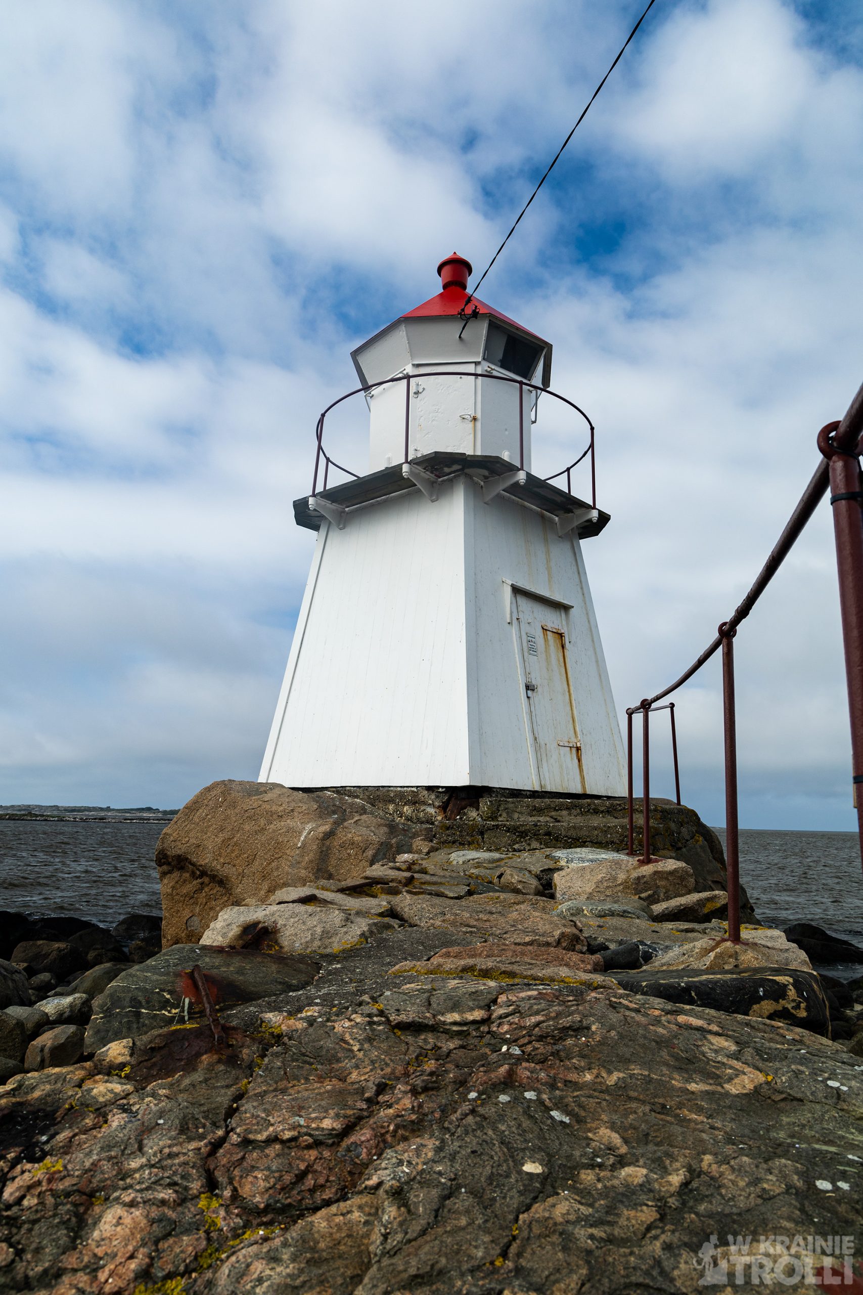
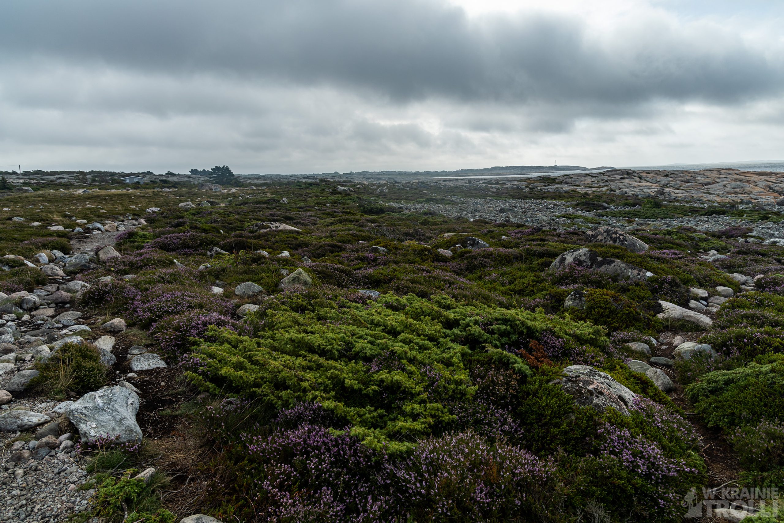
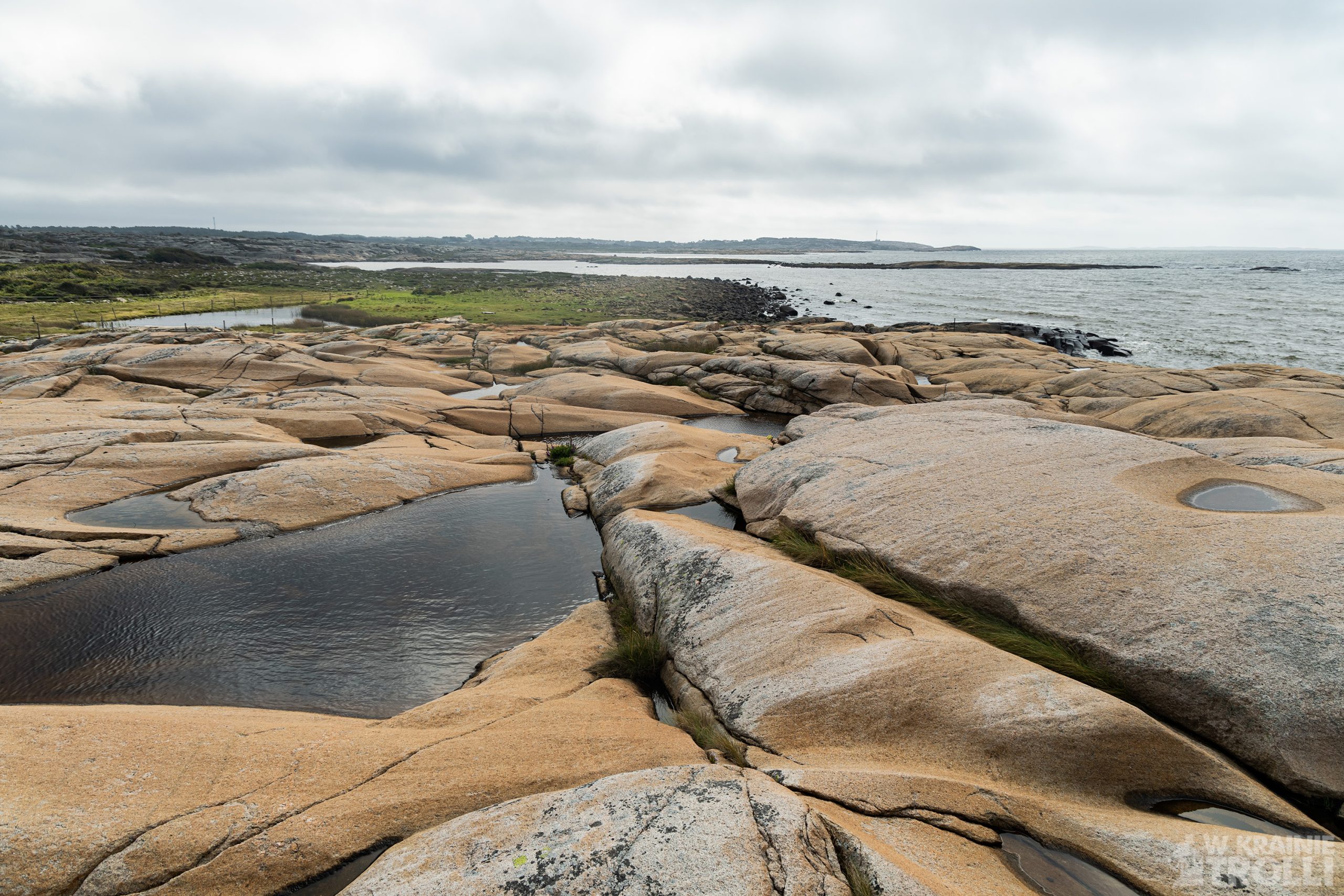
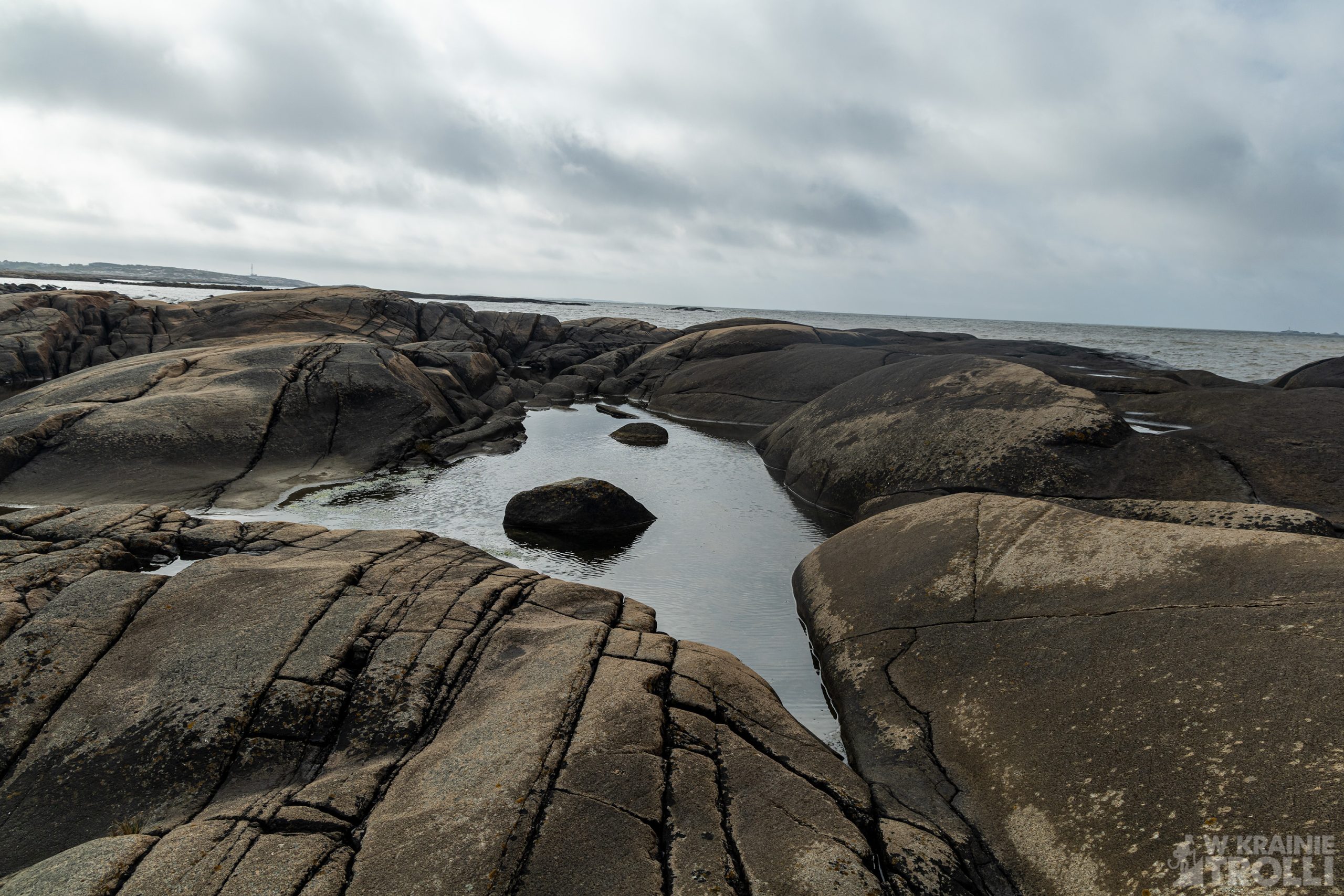
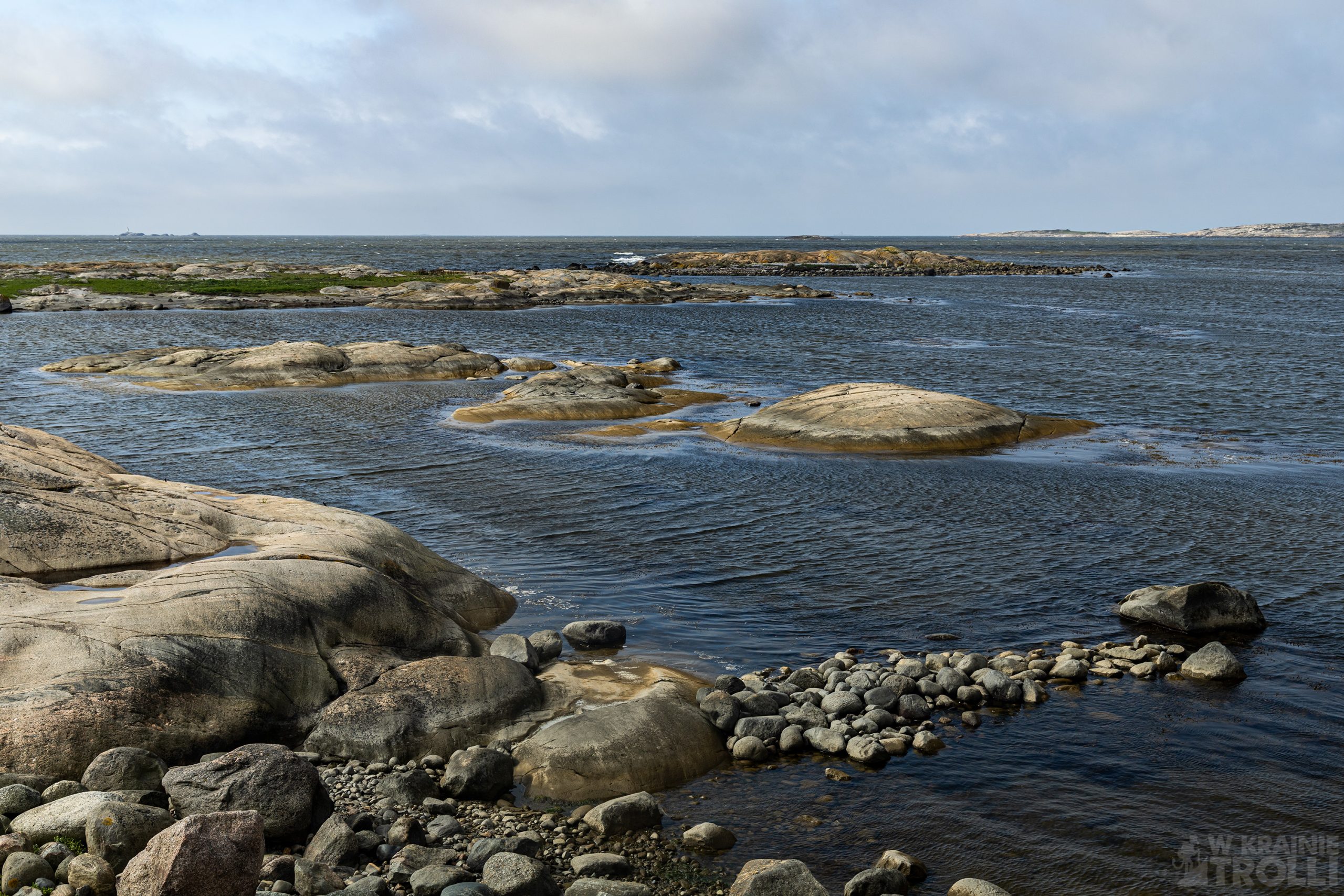
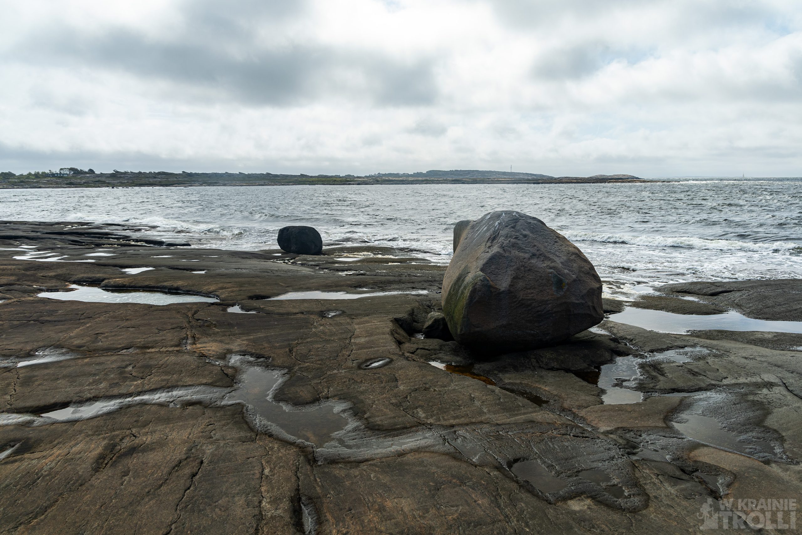
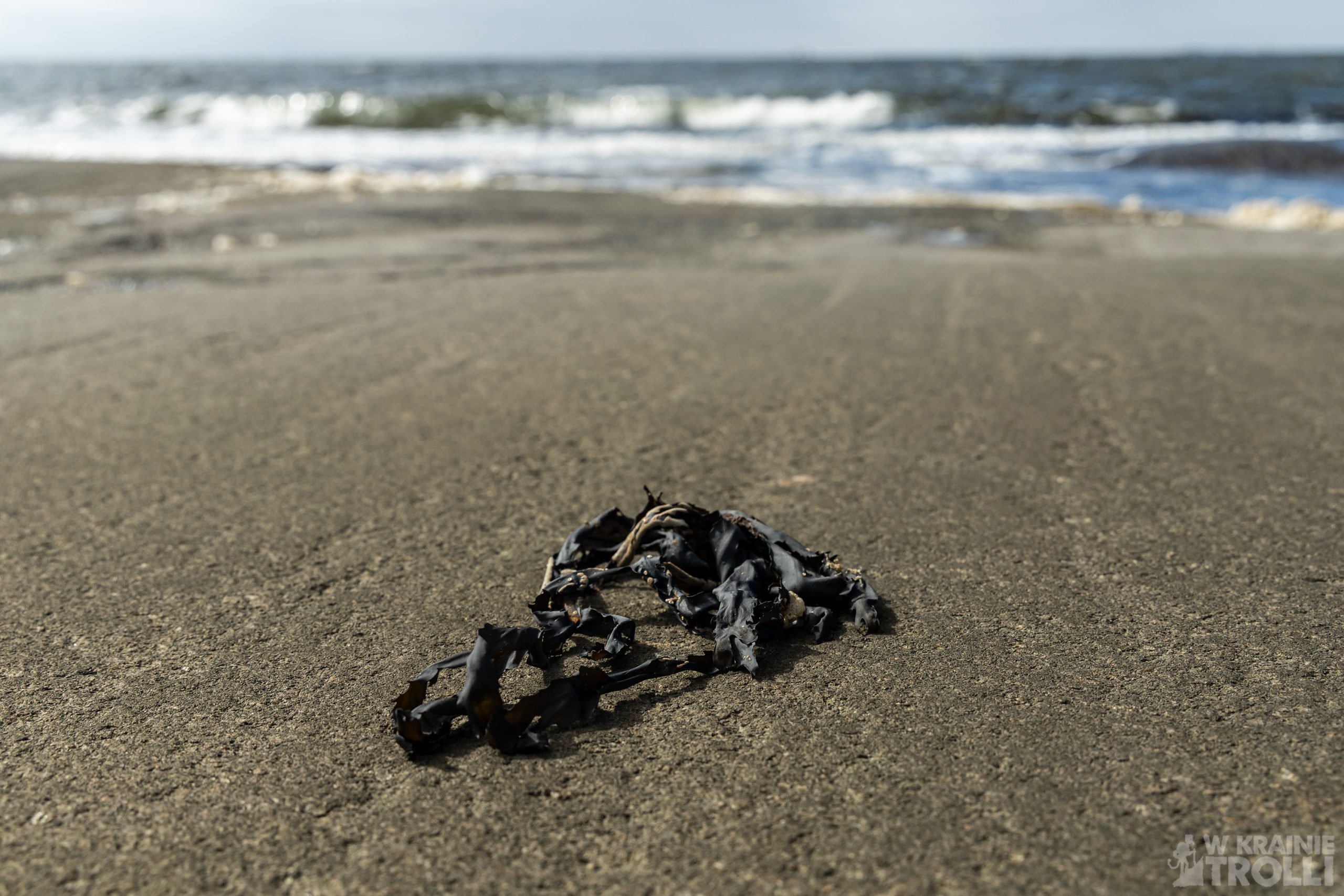
Wysiadłem, zarzuciłem plecak i ruszyłem w kierunku ścieżki biegnącej wzdłuż wybrzeża. Już po kilku minutach zauważyłem stojącą na skalnym występie latarnię morską Pikesten Fyr. Ścieżka zakręcała przy niej na południowy wschód i biegła przez wrzosowiska oraz przybrzeżne skały. Wędrówka, choć po płaskim terenie i bez widoków na wysokie szczyty sprawiła mi sporo frajdy. Silny wiatr zatrzymał w domach sporo miłośników pieszych aktywności, bowiem na trasie spotkałem zaledwie kilka osób. Przez całą drogę wzdłuż brzegu towarzyszyła mi charakterystyczna woń morskiego powietrza i wodorostów.
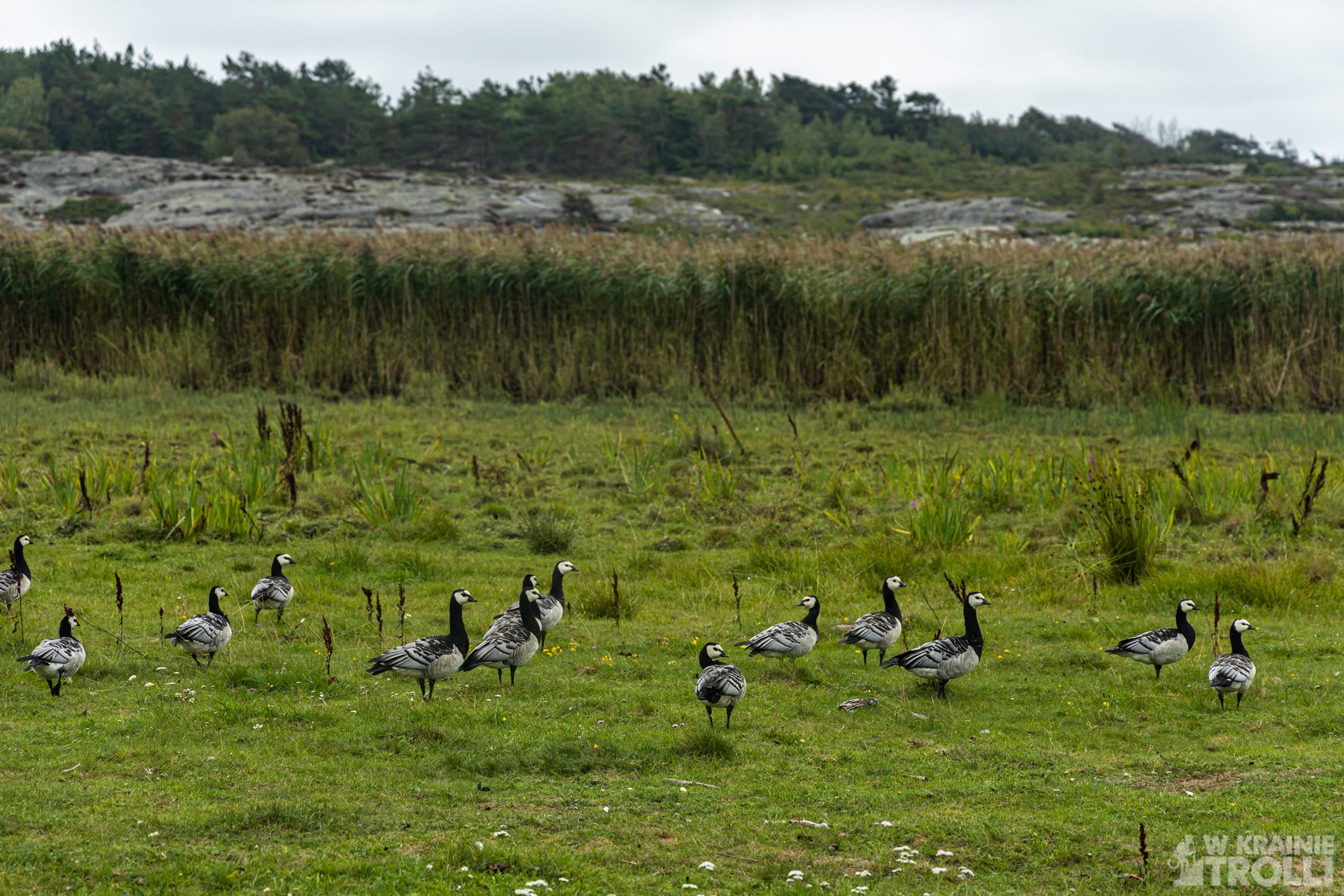
A potem ścieżka skręciła w głąb wyspy, poprowadziła mnie przez pastwiska, zabudowania domków letniskowych na drogę dojazdową, którą dotarłem okrężną drogą do samochodu. Całość, przejście niecałych 5 kilometrów, zajęło mi około 1,5 godziny.

Hvaler is an archipelago of islands located just off the Swedish border, and it is also the name of a municipality with an administrative center in the town of Skjærhalden on the island of Kirkeøy. Hvaler, or more precisely Ytre Hvaler nasjonalpark, is one of the National Parks of Norway. Created in 2009, covers an area of 354 km2, of which 340 km2include marine areas. To the south, Park borders the Swedish Kosterhavet National Park.
The Hvaler Islands have long been known for many rare and endangered plant species, and the local butterfly fauna is particularly diverse. Under the sea there are forests and fields of seaweed and coral. And the coral reef in Tisler is the largest formation this kind in Europe.
There are reportedly over 50 shipwrecks in the park, the most important of which is the Danish frigate HDMS Lossen, which was lost during the Christmas Flood in 1717.
I came here in mid-August for a short, almost five-kilometer hike along the shores of the island of Asmaløy. The weather inside the country prevented me from going to the mountains, but in the south the only thing waiting for me was strong wind. So I got in the car and headed towards Fredrikstad and further to the Hvaler archipelago. After crossing several bridges connecting subsequent islands, I finally reached the right one and among the narrow streets on the western end of the island I managed to find a place to leave the car.
I got out, put on my backpack and headed towards the path along the coast. After just a few minutes, I noticed the Pikesten Fyr lighthouse standing on a rocky ledge. The path turned southeast at it and ran through moorland and coastal rocks. The hike, although on flat terrain and without views of high peaks, was a lot of fun for me. Strong wind kept many hiking enthusiasts at home, as I met only a few people on the route. All the way along the shore I was accompanied by the characteristic smell of sea air and seaweed.
And then the path turned into the interior of the island, led me through pastures and summer house buildings to an access road, which I took a roundabout way to get to the car. The whole thing, covering less than 5 kilometers, took me about 1.5 hours.