Mjølkeflaten
Po zejściu z Vetanosi i ogarnięciu się z grubsza, ruszyłem do Lærdalsøyri. Zawitałem do sklepu Kiwi, kupiłem co-nieco na śniadanie i uzupełniłem zapas kalorii. Przez miasto hulał w najlepsze wiatr. Nawet gdybym miał siły, to kolejny, podobny hike na jakąkolwiek górę w okolicy, stanąłby pod dużym znakiem zapytania. Na szczęście miałem w obwodzie jedną krótką trasę, którą mogłem jeszcze zrobić, przed powrotem do domu. Był to szlak do hytty na Mjølkeflaten.
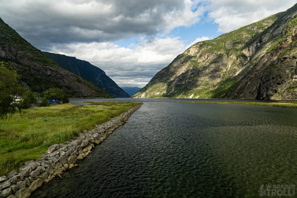
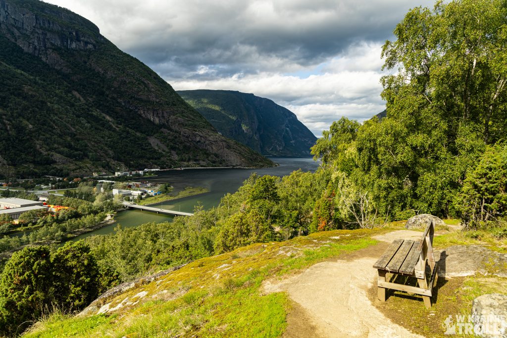
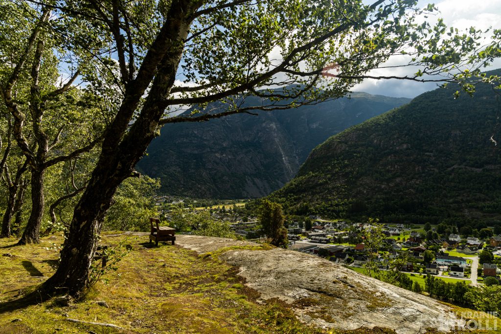
Trasę można zacząć z centrum miasta bądź, pozostawić auto w zatoczce przed tunelem prowadzącym do Fodnes (Fodnestunnelen). Wybrałem tą drugą opcję. Przeszedłem przez most na rzece Lærdalselvi i tuż za nim odchodziła już moja ścieżka. Przez moment pokręciła się ona w lesie, by wznieść się zaraz ponad drzewa na pierwszy punkt widokowy z przytwierdzoną do skały ławeczką.
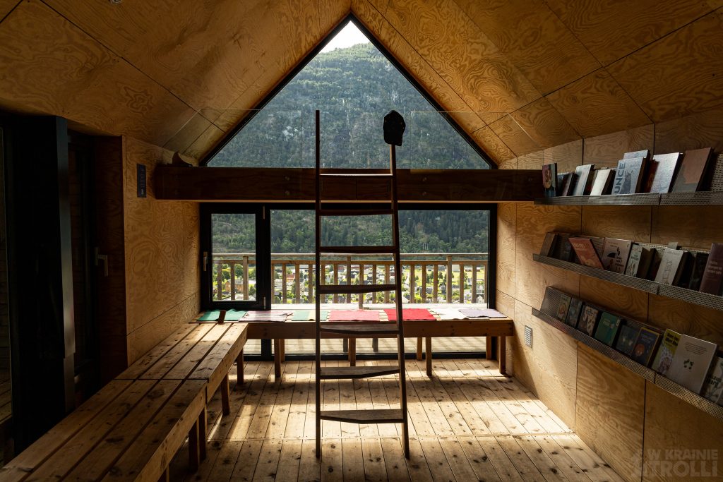
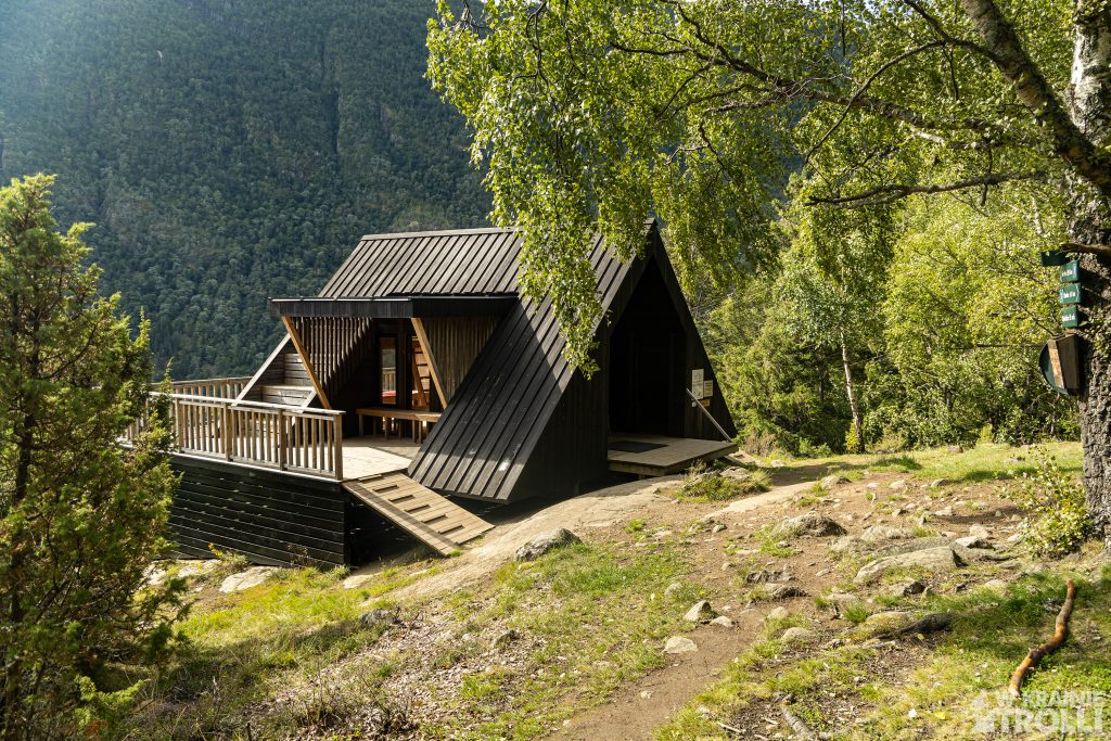
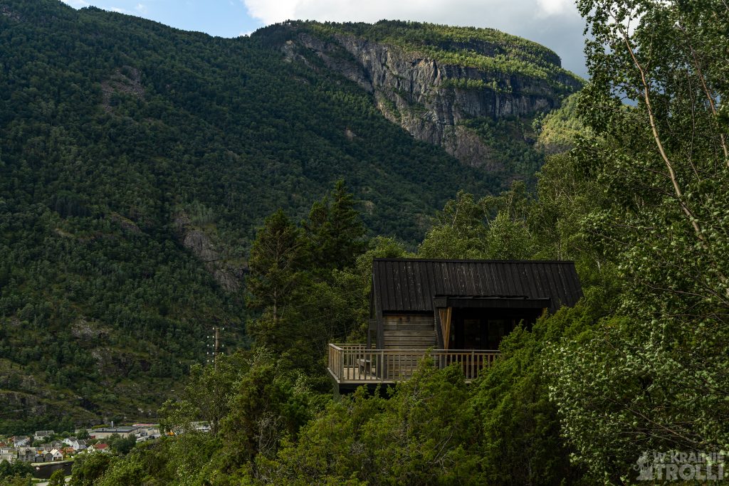
Dalej trasa ciągnie się bądź miedzy drzewami, bądź też po skalistym podłożu. W jednym miejscu ustawiono poręczny drewniany mostek. Około pół godziny później byłem na miejscu. Chatka, nazwana Mjølkeflathytta należy do wspólnoty okolicznych mieszkańców i jest otwarta całą dobę dla każdego. Wewnątrz panował zaduch niczym w saunie. Przy ścianie szczytowej, z panoramicznym oknem umieszczono szerokie ławy na dwóch poziomach, gdzie można usiąść lub się położyć. Na ścianie umieszczono książki dla małych i dużych, w razie gdyby komuś znudziło się podziwianie widoków.
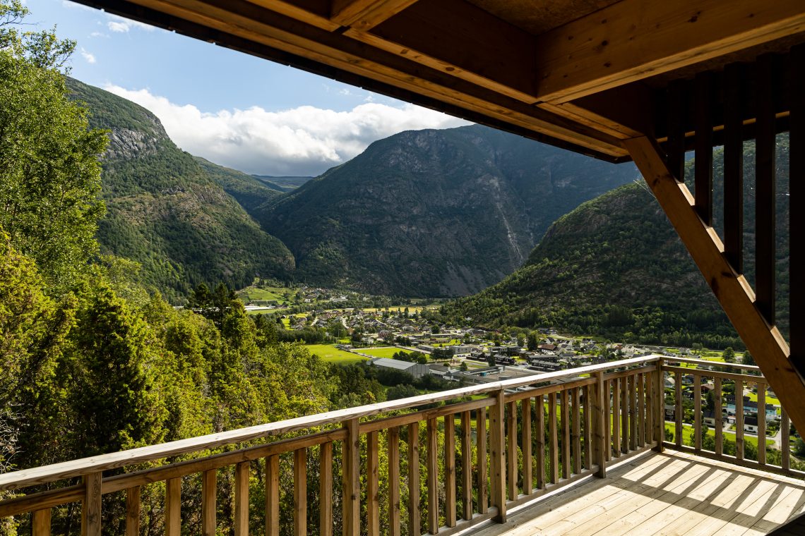
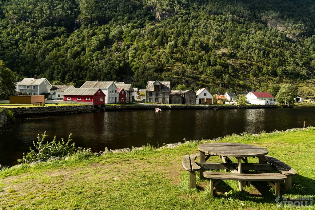
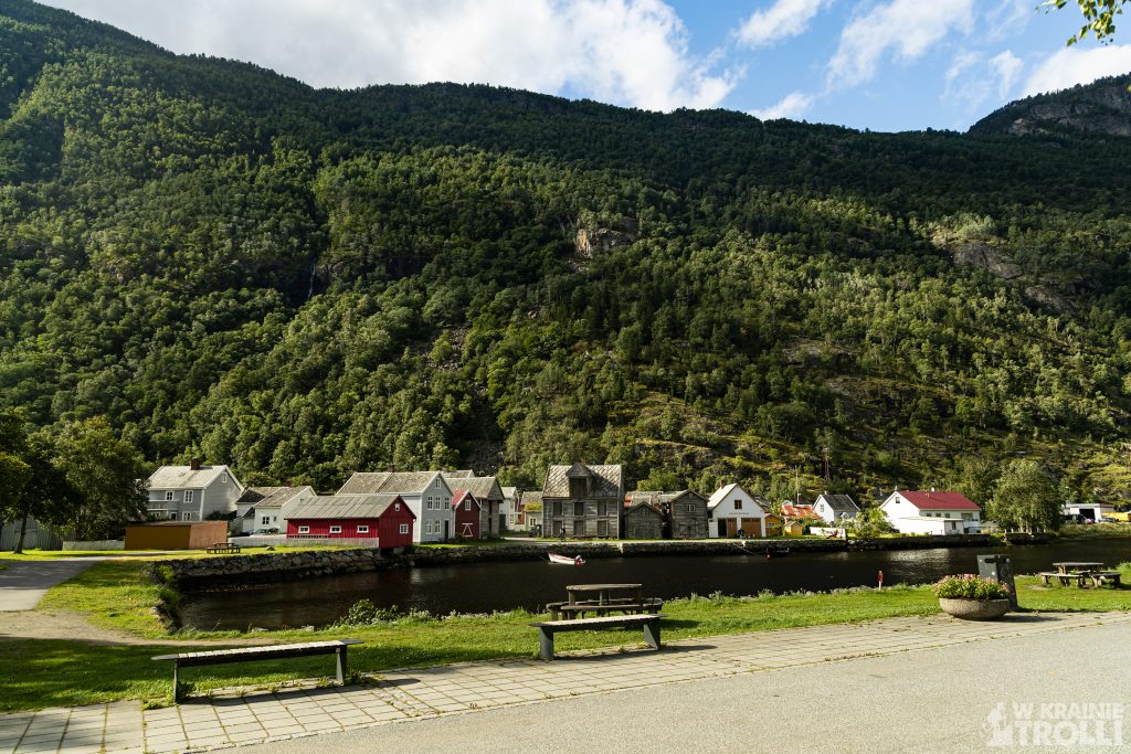
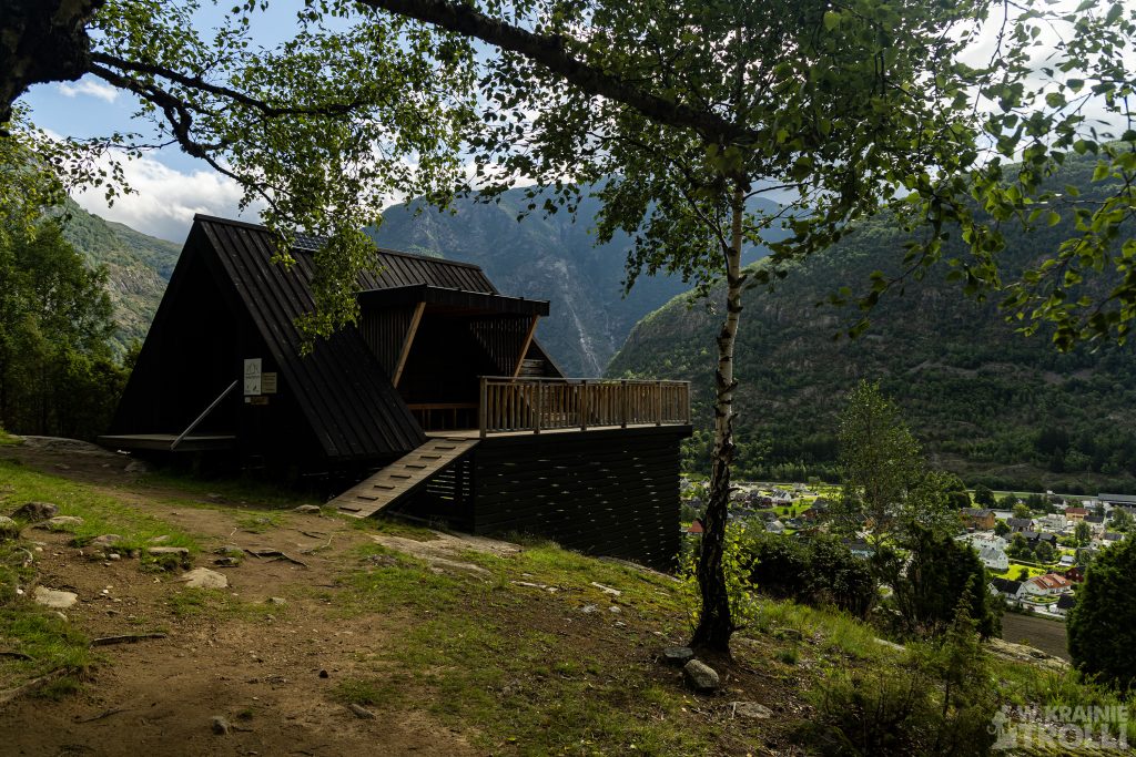
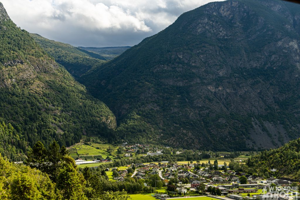
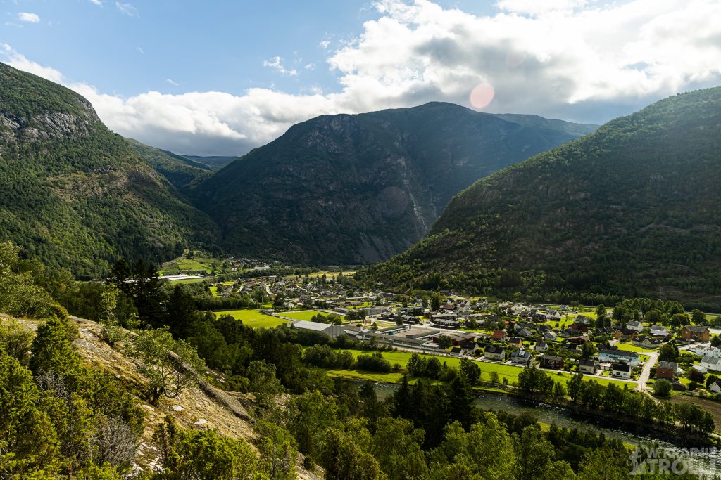
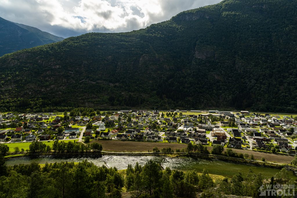
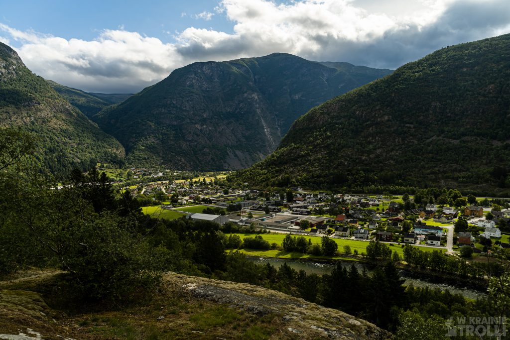
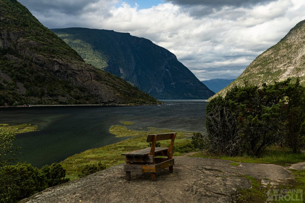
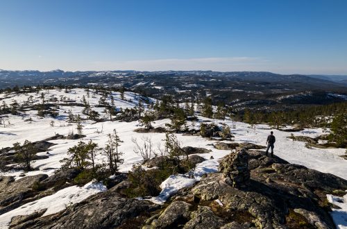
Na zewnątrz, wokół chatki zbudowano drewniany taras oraz parupoziomowe ławeczki, wkomponowane w skośny dach budynku. Jeśli chodzi o widoki, jakie roztaczały się z okna bądź tarasu, to wręcz zapierały dech w piersi. Sama hytta położona jest na wysokości zaledwie 90m n.p.m., ale widok na dolinę, w której położone jest miasteczko Lærdalsøyri i okoliczne góry zwala z nóg.
Sam szlak biegnie dalej, i prowadzi na farmę Stødno, niedaleko szpitala oraz w okolice wodospadu Stødnafossen. Ja odpuściłem sobie kontynuowanie marszu w tym kierunku i wróciłem ścieżką, którą przyszedłem. Choć pewnie w przyszłości dobrze byłoby odkryć i tamtą część trasy.
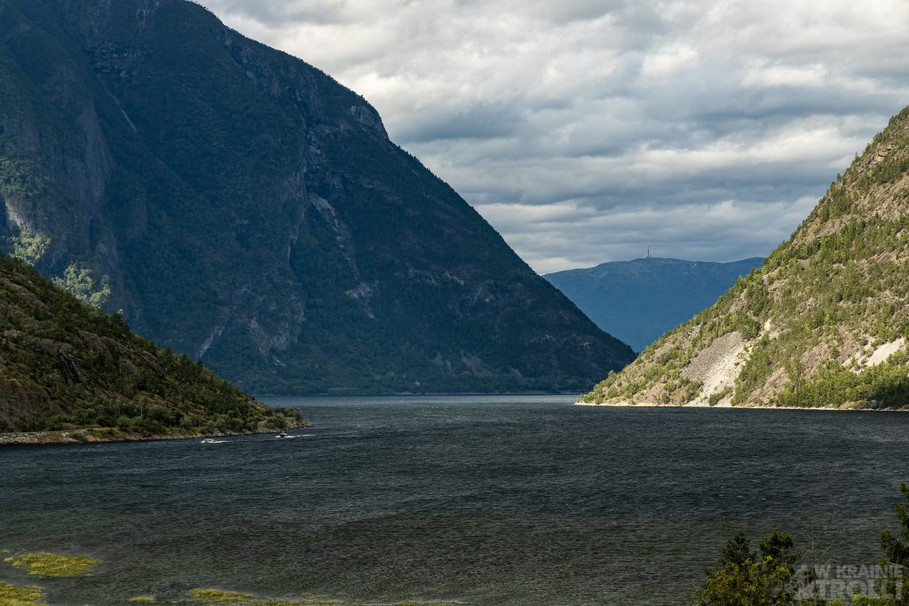
After descending Vetanosi, I headed to Lærdalsøyri. I went to the Kiwi store, bought something for breakfast and replenished my calories. The wind was blowing wildly through the town. Even if I had the strength for another similar hike to any mountain in the area, it would be a big question mark because of that wind. Fortunately, I had one short route in the backup that I could do before returning home. It was the trail to the hytta on Mjølkeflaten.
You can start the route from the town center or leave the car in the bay before the tunnel to Fodnes (Fodnestunnelen). I chose the latter option. I crossed the bridge over the Lærdalselvi River and my path started just beyond it. It wandered around in the forest for a moment, then rose above the trees to the first viewpoint with a bench attached to a rock.
The route continues either between trees or on rocky ground. In one place there is a handy wooden bridge. About half an hour later I was there. The cabin, called Mjølkeflathytta, belongs to the community of local residents and is open 24 hours a day to everyone. Inside it was hot like in a sauna. At the gable wall, with a panoramic window, there are wide benches on two levels, where you can sit or lie down. There are books for kids and adults on the wall, in case someone gets bored of admiring the views.
Outside, around the cabin, a wooden terrace and several-level benches were built, integrated into the sloping roof of the building. As for the views from the window or terrace, they were simply breathtaking. The hytta itself is located at an altitude of only 90 m above sea level, but the view of the valley in which the town of Lærdalsøyri is located and the surrounding mountains is stunning.
The trail itself continues and leads to the Stødno farm, near the hospital and around the Stødnafossen waterfall. I gave up on continuing my march in this direction and returned along the path I came from. Although it would probably be good to discover that part of the route in the future.


Jeden komentarz
Lidia Ogrodowczyk
Piękne krajobrazy i ta zieleń ! Dech zapiera.