Slettefjell 1180m n.p.m.
Na Slettefjell w rejonie Lifjell planowałem wejść już od dawna. Zawsze jednak odkładałem ten zamiar na rzecz innych szczytów. Tym razem jednak przeszukując różne lokalizacje uznałem, że to właśnie tam będę miał w najbliższą sobotę najlepszą pogodę, a i jechać nie trzeba zbyt daleko. Po raz kolejny nie znalazłem chętnych i ostatecznie pojechałem sam. Postanowiłem nie zrywać się wcześnie i na spokojnie przyszykować się jak już się obudzę. Tyle, że mój wewnętrzny budzik miał widać swoje własne, niezależne plany, bo tak gdzieś o piątej byłem już na nogach.
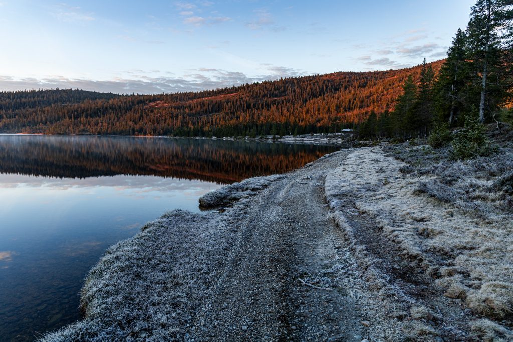
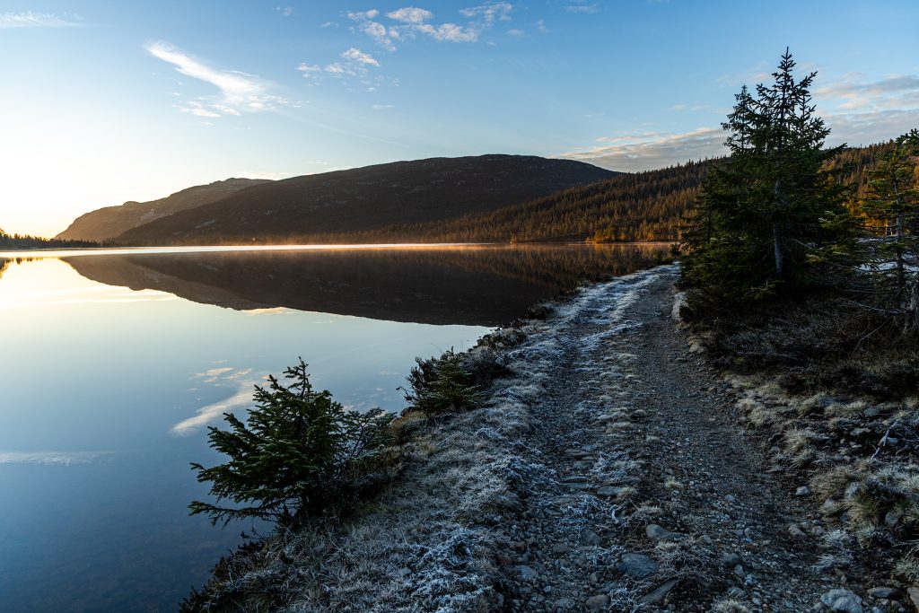
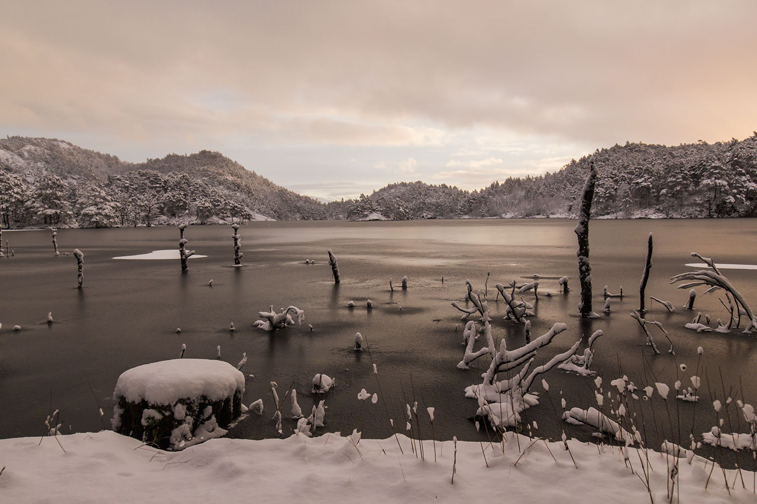
Większość drogi pokonałem więc jeszcze w ciemnościach, ale gdy dojechałem na parking w Myregvarv, już zaczynało się przejaśniać. I okazało się, że jest zimno. Temperatura oscylowała w okolicach zera. Szybko zmieniłem buty i ruszyłem na szlak, by jak najszybciej się rozgrzać. Ale palce i tak mi marzły. Mijane sporadycznie kałuże pokrywała warstwa lodu, a trawę i wrzosy pokrywał szron.
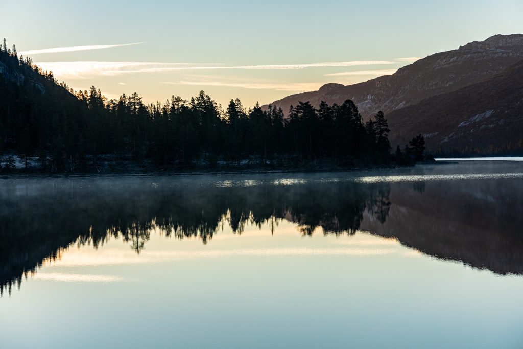
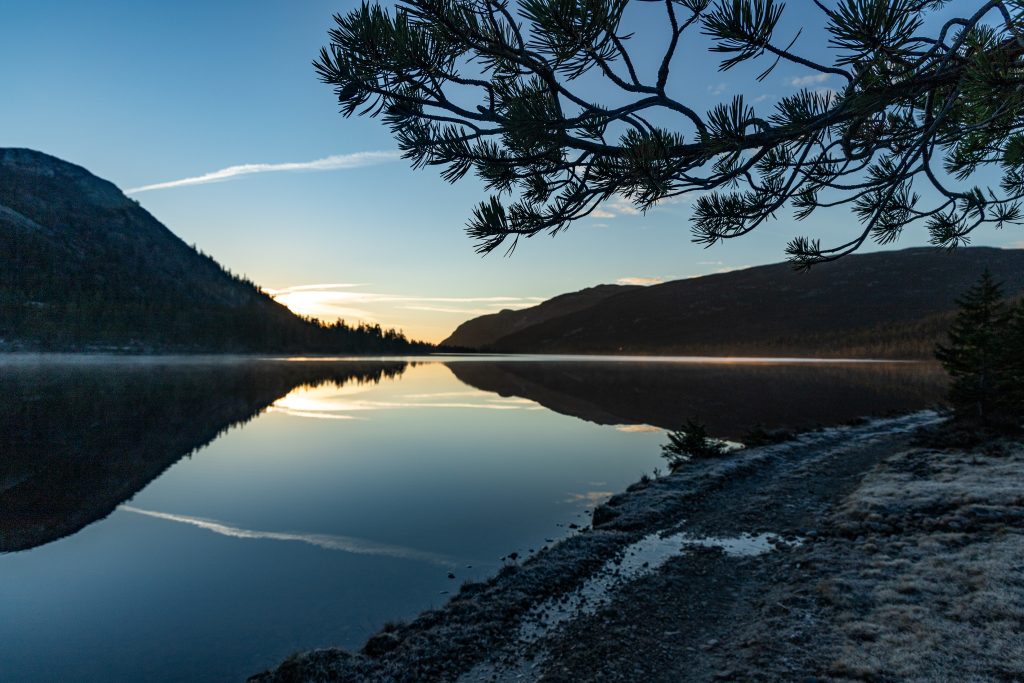
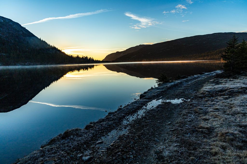
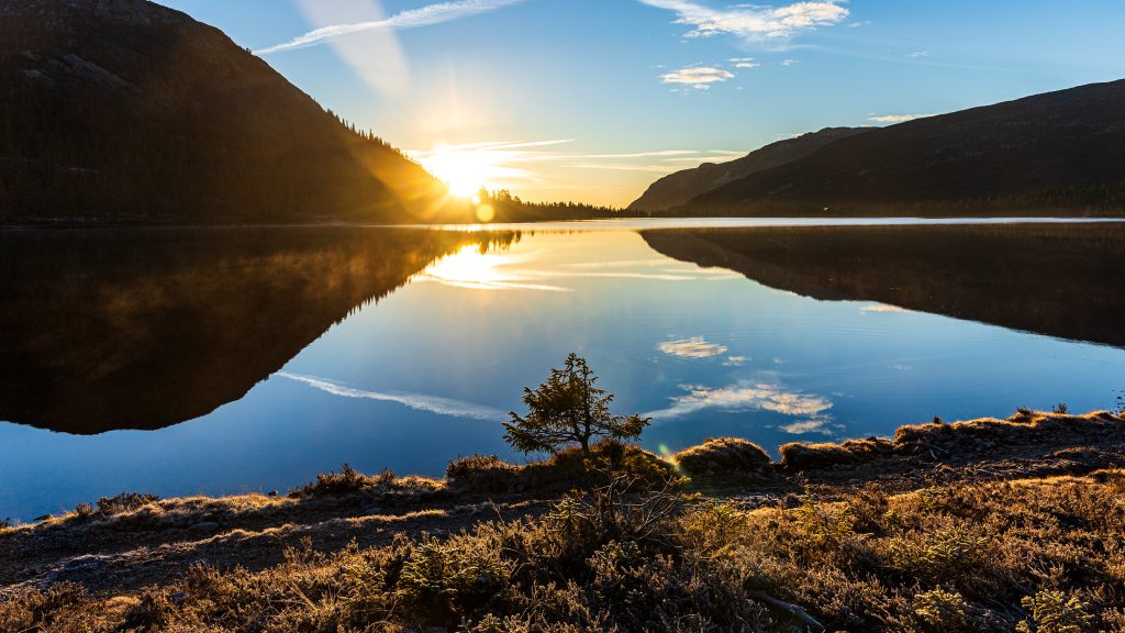
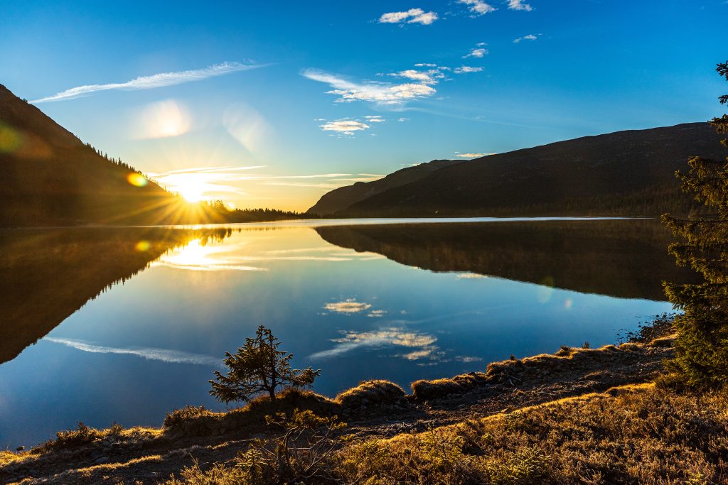
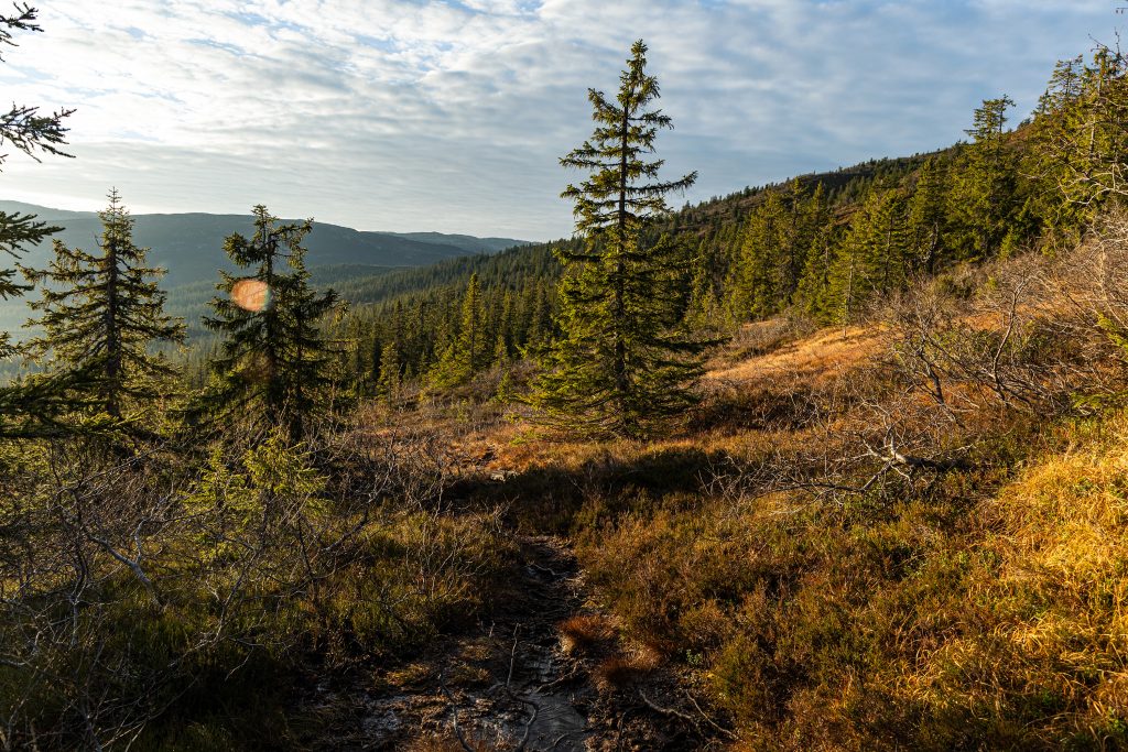
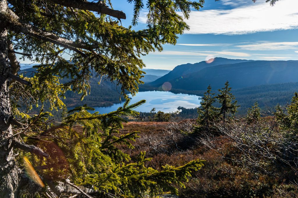
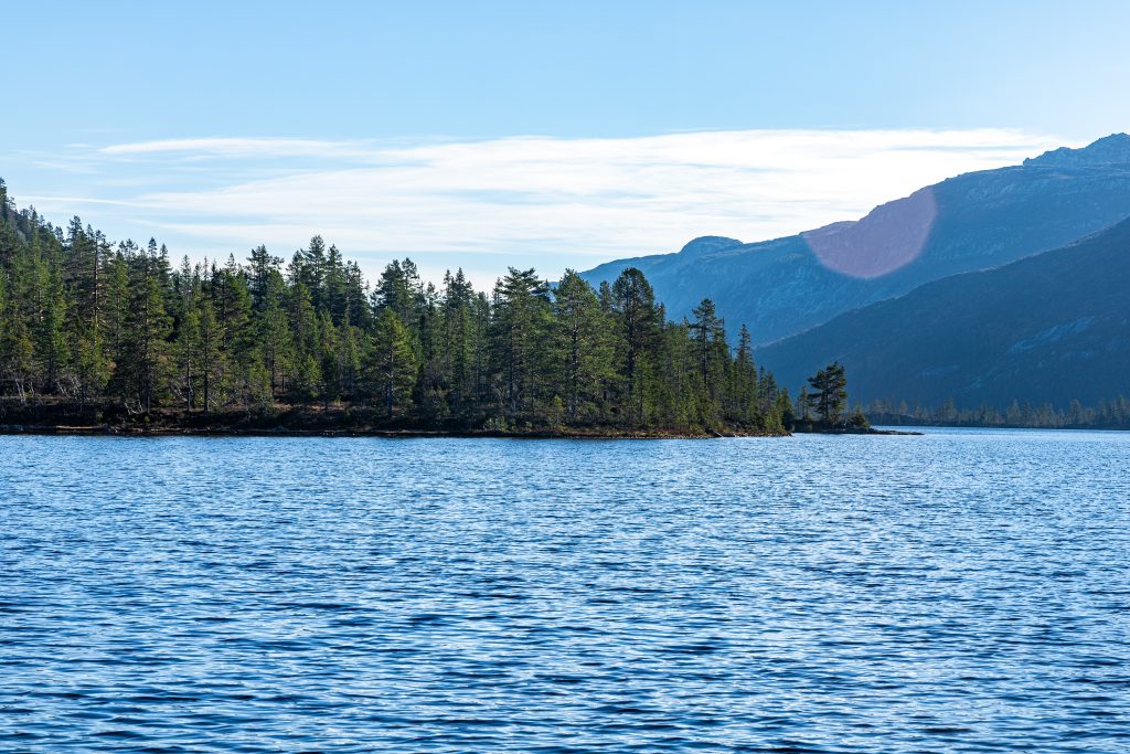
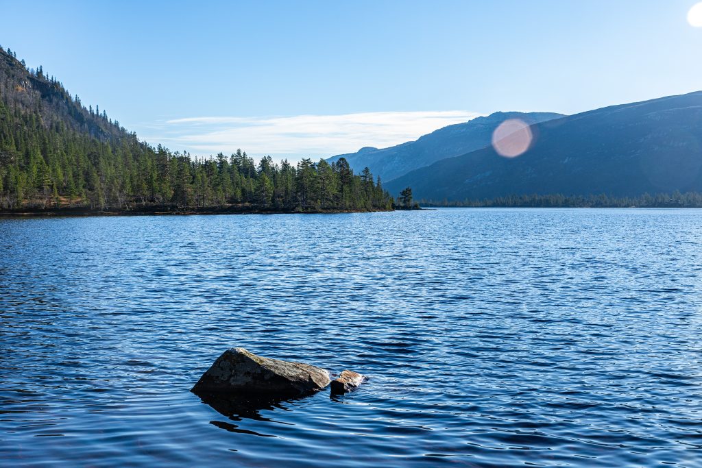
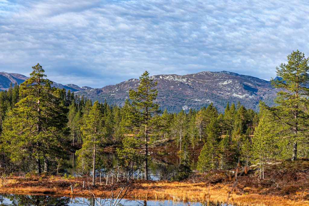
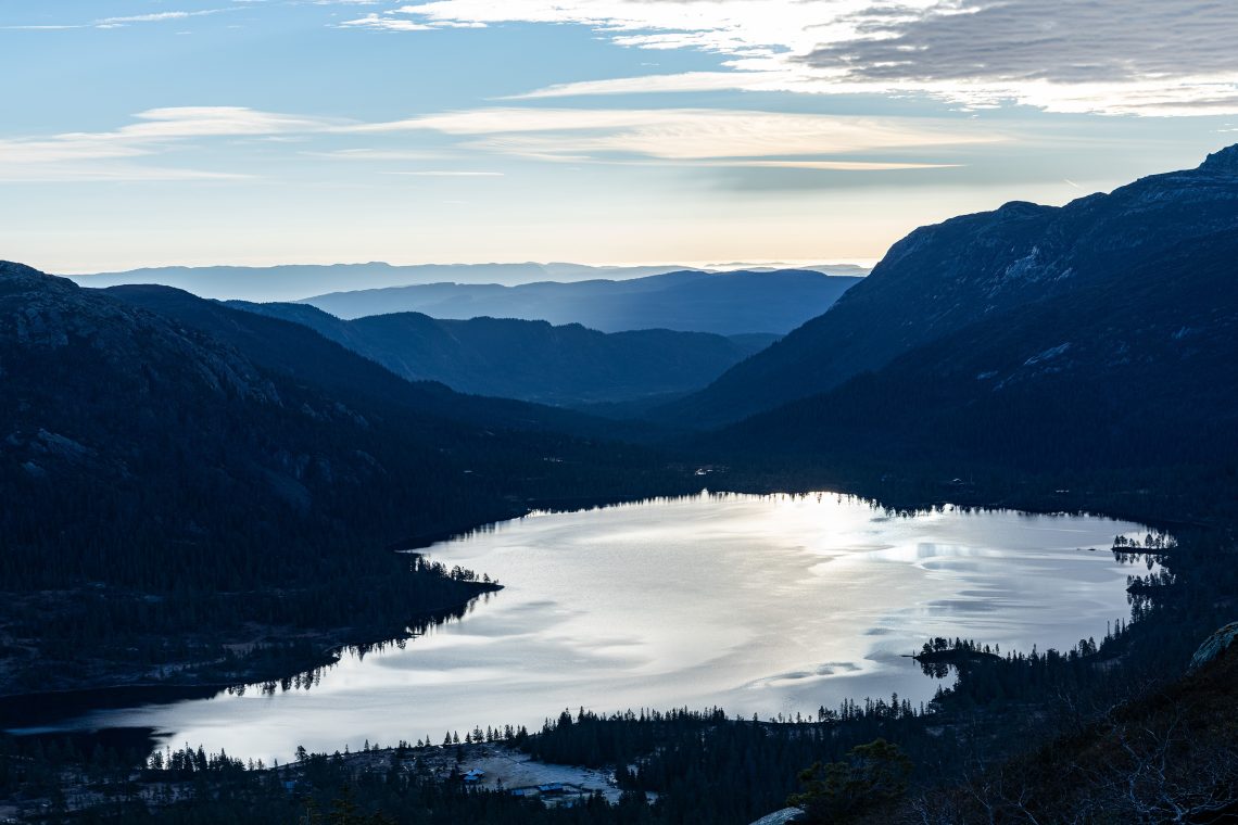
Dotarłem do jeziora Gavlesjå i kawałek drogi maszerowałem jego brzegiem. Tam właśnie zastał mnie wschód słońca. Podziękowałem wtedy budzikowi w swojej głowie, że zerwał mnie z łóżka na tyle wcześnie, że mogłem obserwować teraz ten pokaz barw na niebie i jego odbicie w spokojnych wodach jeziora. Szlak wiódł tuż obok starego gospodarstwa Gavlesjåstulen, które wciąż działa w okresie letnim, oferując turystom produkty z mleka. Teraz wszystko było pozamykane na cztery spusty, a wokół nie było widać żywej duszy. Przemknąłem tuż obok starych, drewnianych zabudowań, próbując dostrzec, którędy prowadzi ścieżka. Ta zaprowadziła mnie między drzewa i w górę. Byłem już u podnóża Slettefjell. Szlak momentami był błotnisty, ale gdy tylko wyszedłem ponad linię drzew, od razu zrobiło się lepiej. Nie tylko pod moimi stopami, ale mogąc spojrzeć na otaczające mnie widoki, szło się dużo raźniej.
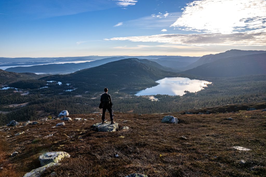
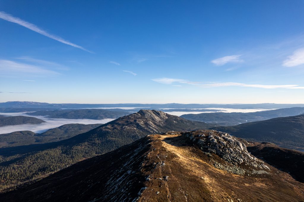
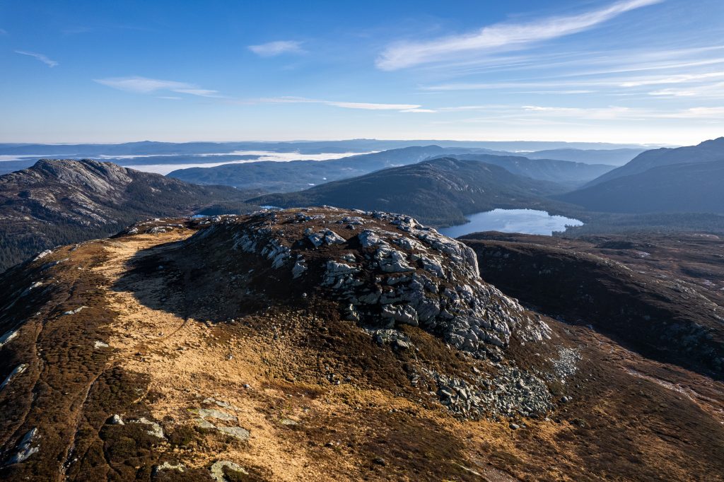
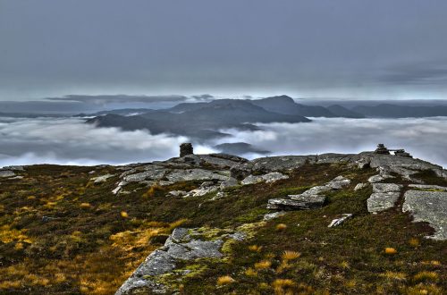
Droga na szczyt nie jest specjalnie wymagająca ani też długa. Nie wiedzieć kiedy znalazłem się na miejscu i mogłem rozejrzeć się dookoła. Strome zbocze od północy gwarantowało świetne widoki w tym kierunku, ale i pozostałe nie pozostawały daleko w tyle. Porobiłem parę zdjęć, a gdy tylko wyciągnąłem drona, pojawił się jakiś Norweg z psem. Za nim maszerowały już jakieś dwie kobiety. Okazało, się, że nie tylko ja obrałem sobie tę trasę na sobotnią wędrówkę.
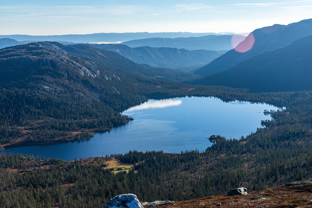
Zacząłem schodzić i tym razem miałem widok na Gavlesjå przed sobą. Dostrzegałem szczyty, na których już wcześniej byłem: Rognlifjellet oraz Himingen. Dotarłem do Gavlesjåstulen a następnie do brzegu jeziora Gavlesjå. Tam napotkałem kolejną grupkę Norwegów, a niedługo potem jeszcze jedną. Wszyscy wyglądali na emerytów. W duchu pogratulowałem im zdrowia i chęci do takiego spędzania wolnego czasu. Życzyłbym sobie też mieć taką motywację na starość.
Na parkingu stało znacznie więcej aut niż przed paroma godzinami. Kolejni ludzie szykowali się na wędrówkę, gdy ja kończyłem swoją. Szybo się przebrałem i wskoczyłem za kółko. Czekała mnie jeszcze parugodzinna droga do domu.
I had been planning a hike to Slettefjell in the Lifjell area for a long time. I always put it off in favor of other peaks. This time, however, while searching for different locations, I decided that this is where I would have the best weather next Saturday, and I didn’t have to travel too far. Once again, I didn’t find anyone willing to go, so I ended up going alone. I decided not to get up early and slowly get ready when I woke up. However, my internal alarm clock apparently had its own, independent plans, because I was already up at around five.
So I drove most of the way in the dark, but when I reached the parking lot in Myregvarv, it was already starting to clear up. And it turned out that it was cold. The temperature was around zero. I quickly changed my shoes and set off on the trail to warm up as quickly as possible. But my fingers were still freezing. The puddles I passed sporadically were frozen, and the grass and heather were covered with frost.
I reached Lake Gavlesjå and walked along its shore for a while. It was there that I saw the sunrise. I thanked the alarm clock in my head for waking me up early enough to watch this display of colours in the sky and its reflection in the calm waters of the lake. The trail led right next to the old Gavlesjåstulen farm, which still operates in the summer, offering milk products to tourists. Now everything was closed, and there was not a living soul in sight. I slipped right next to the old wooden buildings, trying to see where the path led. It led me between the trees and up. I was already at the foot of Slettefjell. The trail was muddy at times, but as soon as I got above the tree line, it immediately got better. Not only under my feet, but being able to look at the views around me made the walk much more enjoyable.
The path to the top is not particularly demanding or long. Before I knew it, I found myself there and could look around. The steep slope from the north guaranteed great views in this direction, but the others weren’t far behind either. I took a few photos, and as soon as I got my drone out, a Norwegian with a dog appeared. Two women were already walking behind him. It turned out that I wasn’t the only one who had chosen this route for Saturday’s hike.
I started to descend and this time I had a view of Gavlesjå in front of me. I could see the peaks I had already been to before: Rognlifjellet and Himingen. I reached Gavlesjåstulen and then the shore of Lake Gavlesjå. There I met another group of Norwegians, and soon another one. They all looked like retirees. I mentally congratulated them on their health and willingness to spend their free time this way. I wish I had such motivation in my old age.
There were many more cars in the parking lot than a few hours ago. Another couple were getting ready for their hike as I finished mine. I quickly changed clothes and jumped behind the wheel. I still had a few hours to get home.


